Category to differentiate trip reports from other posts. Make sure this category is assigned to all trip reports, otherwise they will not be shown in the main web page.

Crossing of Backstairs Passage from Cape Jervis to Penneshaw and return — 25-26 May 2024

The crossing of Backstairs Passage from Cape Jervis to Penneshaw and return on Saturday 25th and Sunday 26th May really achieved it’s main goals- a challenging paddle with a great camp at the end. The trip was also part of the Sea Leadership Program conducted by Paddle SA Education/Phil Doddridge. Greg A and Hugh Mac are undergoing this training.

The Preparation

Preparing for departure

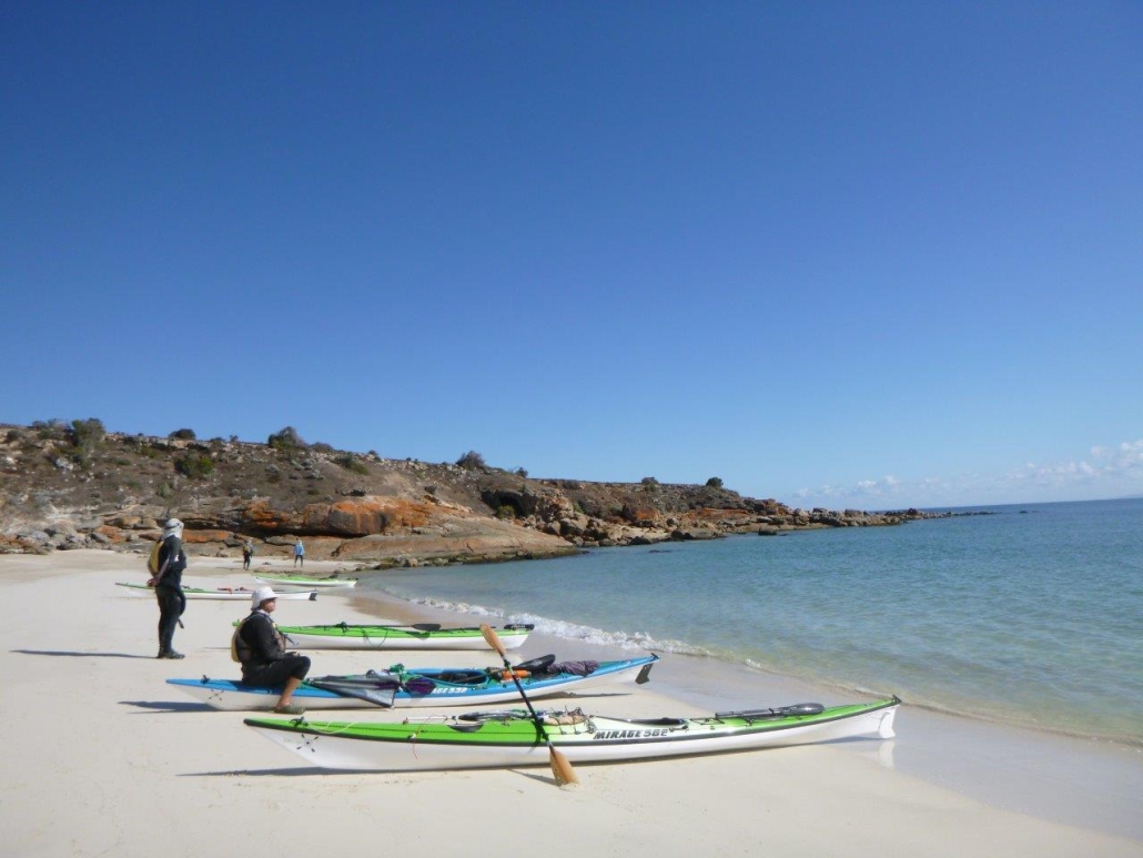
Pre-departure picture

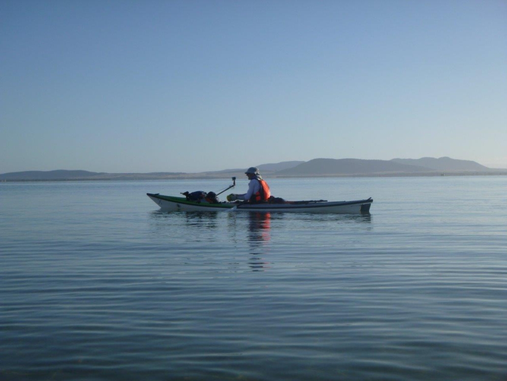
Backstairs Passage is exposed and it is rare to get calm days but we scored a beauty for the paddle over to Penneshaw. We had favourable winds, tides and sunny skies. The temperature was quite mild once the sun came up given winter was just a few days away.

The paddlers were:

  • Phil Doddridge paddling in double with Hugh Macmillan (Mirage 730)
  • Abelardo Pardo paddling in double with Marg Doddridge (Delta 20T)
  • Mike Dunn (Mirage 583)
  • Matthew Eldred (Delta 17)
  • Jason Schulz (Seabird Discovery)
  • Ryan McGowan (Delta 17)
  • Berny Lohmann (Perception Ecobezig)
  • Greg Adams (Expedition Kayaks Audax)

Marg, Jason, Ryan and Berny were attempting the KI Crossing for the first time. Greg was doing Cape Jervis to Penneshaw for the first time. He had done Antechamber Bay to Cape Jervis last year as part of the Victor Harbor to Adelaide expedition.

Up Early

Chat before departure

First strokes

To get the tide just right the group needed to be taking first strokes by 8am which, for some, meant being on the beach by 7am to get packed. Marg and I however had decided to stay in one of the Eco Tents at the Seafront Holiday Park and had little to pack. I highly recommend this option should the trip be repeated in the future-luxury! We also were going to the Penneshaw Hotel for dinner which lightened the load further.

The coastal views across the Passage were stunning as we gathered for our 730am briefing. An important logistical issue in doing this trip is to stay well out of the path of the KI Ferry. We notified the business of our presence and planned a path well to the east and parallel to the ferry route. The first part of our journey was to Land’s End before heading out across the Passage; this would keep us well east of the ferry. On the crossing our heading was 220ºM. As part of the sea leadership training I discussed the best way to keep the group together and on track. From past experience I found that having a lead paddler out in front with others following achieved the best outcome. At least one paddler needed a compass designed for use at sea; better if two paddlers are equipped and can check each others readings.

Once at Land’s End I swung the kayak to the required heading and identified a prominent feature on the hills of KI. Each paddler took turns in leading the group and paddling at our target. The paddler leading the group does not need a compass; if they have one their focus is on the identified feature in the distance NOT the compass! This is for accuracy and to avoid sea sickness.

Breaking it into stages

It is more demanding to be out in front so the lead paddler was changed each 30-40 minutes. At the change the heading was checked and the feature to aim for was adjusted. To allow for tidal influence we used a technique called “splitting the tide”. The first half of the journey was done in the ebbing tide taking us further to the east and the second half in the flooding tide bringing us back to the west. We planned to be half way at 930am. Up until 930am each of the features to aim for were slightly east of the last. From 930am the features moved slightly westward due to the tide.

There are images of the plans and actual route as recorded on a GPS attached.

The Crossing

Middle of the crossing

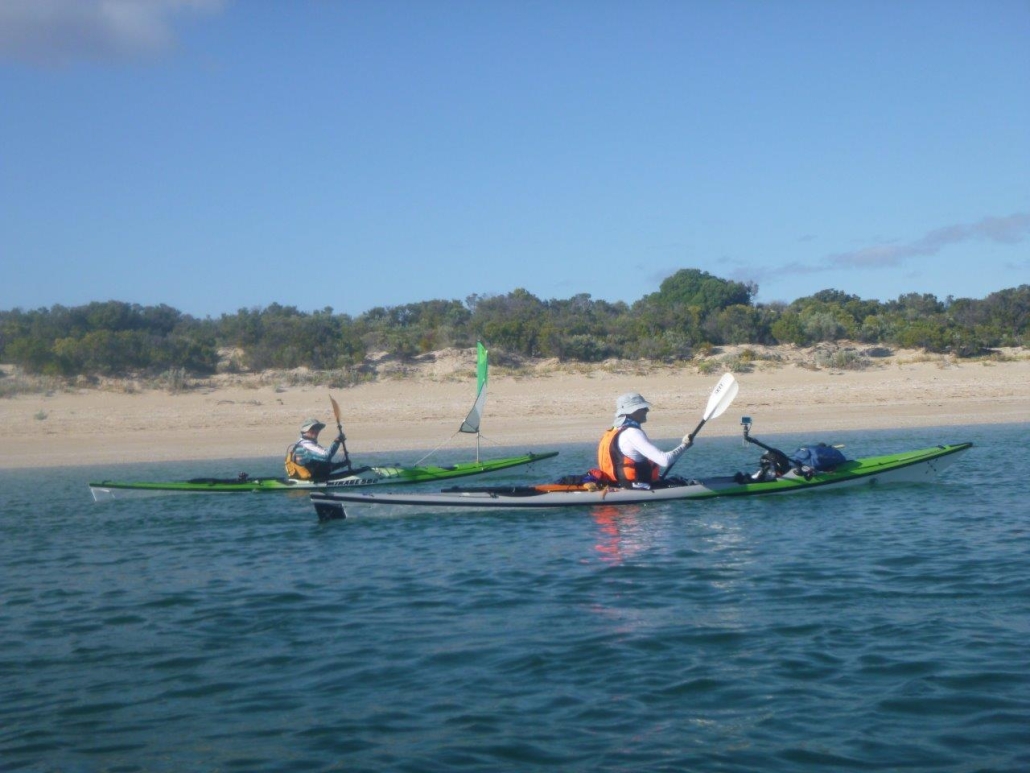
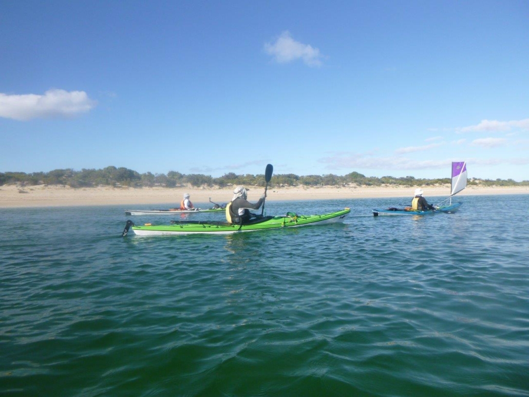
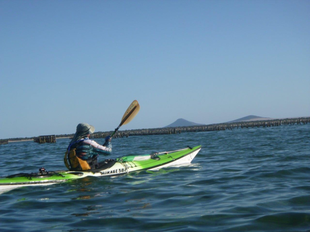
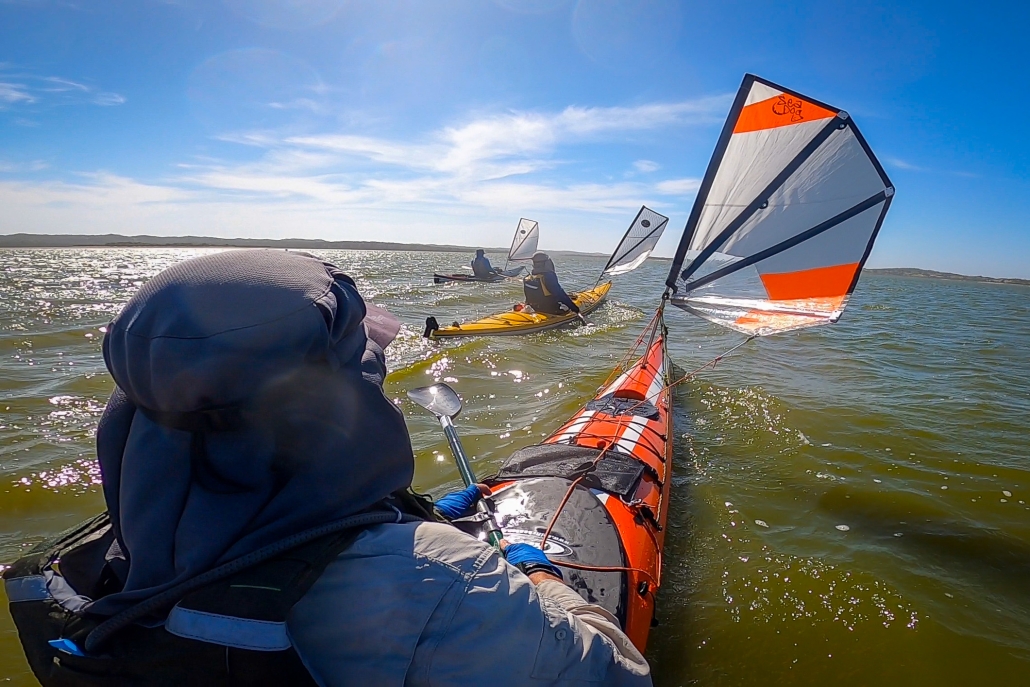
It was a fantastic crossing, one of the best I have experienced. Unfortunately for kayak sailors there was not enough wind to fill the sails! For safety the group had at least one sail up so other vessels would see us more clearly. On the day two container vessels went through although I do not think that they would have altered their course if they saw us in the way! It is surprising just how fast these big vessels move and how quickly they go from a spot on the horizon to a big hunk of metal in close proximity! An old saying that applies here “Never take your eyes off the ocean”; I regularly did a 360º scan of the horizon!

We had several members of the group carrying injuries and I was concerned about the rate we could paddle at. I have very badly damaged shoulders and chose to paddle in a double to take some of the pressure off…a Mirage 730 is a very fast kayak needing much less effort than any other I have paddled to cover the kilometres. Paddling with Hugh Mac made it even less of an effort! In fact for the first half of the journey I don’t think I added to progress at all, Hugh did it all.

The second half

Clear water in Penneshaw

Arrival to Penneshaw

In the second half the group needed to give Jason a helping hand. ACC events are notorious for travelling at a “fair clip”! Jason’s 4.3 m Seabird was no match for the 5.8m Deltas, Mirages and of course the two doubles in the fleet. The initial tow was applied by Matt and after he had done his bit Phil and Hugh Mac took over. I always like having doubles on potentially challenging trips for this reason, they are brilliant towing vessels; the effort needed by two paddlers is much less. After awhile we applied a “V” tow with both doubles powering Jason’s kayak along. I’ll be willing to bet that was the fastest the little Seabird had ever gone!

The crossing was completed in a little more that three hours and we arrived in Penneshaw in bright sunshine and landed on the white sand beach through crystal clear water(see pics). The Seafront Holiday Park was just over the sand dunes and the group had a leisurely lunch before making camp.

Accommodation and Dinner

Penneshaw Beach

Chat before dinner

I was impressed by the improvements made to the caravan park since last visit. Besides us low budget kayak travellers there were a lot of beefed up 4×4’s towing big caravans…I see this where ever I go! So much for minimal impact travelling (personal budget and planet). The hot showers were a treat! After an afternoon of chatting and comparing notes the group walked into the Penneshaw Hotel for dinner. The hotel too had undergone a makeover since last I was there. The food was great as were a few wines or beers depending on personal preference!

Catching the last Ferry back

We said farewell to Greg and Mike shortly after dinner as they were catching the 10pm ferry back. Mike had commitments for Sunday and Greg had caught a ride down with him. It was a stunning night for a boat trip! Jason also chose to take the ferry back next day.

The Return

About to launch into return

Sunday’s weather forecast was for a warm day with light northerly winds and our plans were to make a leisurely paddle down to Cuttlefish Bay before heading back to Cape Jervis on the incoming tide. This would have made the trip about 5Km longer than journey over. Well a forecast is only a forecast and the weather gods had other ideas! As we were preparing to launch the winds were a little stronger than forecast. The seas were a little rough with small whitecaps forming out in the Passage. Small surf was breaking on the beach which unfortunately meant a wet launch if your timing was out. The group decided to stay to plan and see how things developed.

Direct to Cape Jervis

It wasn’t long before it was obvious our plans were best changed. Traveling along the rocky coast had us in confused seas with a lot of rebounding waves. The group moved further out away from the coast but there was little difference. It was bumpy, wet and hard work. A quick survey of the group voted for a change of plans and we would head direct to Cape Jervis hoping that as we went further from the coast the seas would calm down a bit. This plan worked for a while and then the wind began to increase; recordings in the area had it peaking at 20Knots during our crossing. Initially I had the lead paddler just keeping to a heading based on best “course over the ground” navigation. This had us punching almost directly into the wind/waves which was slow and energy sapping.

Or not so direct…

Forecast? What forecast?

Another saying I have is “best to get a crossing done, quickly as achievable, and sort it out on the other side”. I changed the group’s heading so that the wind and waves would hit us on an angle of 30-40 degrees from the bow. This meant we would travel faster with less strain on each stroke and would be a little drier. Unfortunately the dry bit did not apply to Marg and myself who were in the front seat of the doubles; the kayak is simply too heavy to lift over the waves so it just plowed through and the waves slapped us in the face!

Needless to say we were all pretty tired when we reached the coastline just east of Cape Jervis. As I had set up navigation to have us east of Cape Jervis and the final few kilometres were aided by the flooding tide to the west…a welcome relief. The crossing back took three and half hours; it felt like double that!

Back in Cape Jervis

When acting as leader I always prefer to have my group land as one and insisted we all just “float” in on the tide as there was no hurry. Also in the last few hundred metres on approach to Cape Jervis the group would encounter a strong tidal race that forms off the breakwater. If you don’t know what it is like it can sweep you past the entrance to the harbour and it was really pumping!

The tidal race can also sweep you into the path of the ferry which would just be bad advertising for the competence of sea kayakers!

So we paddled into the harbour happy in having accomplished a significant milestone also avoiding the tidal race to be greeted by a Marine Safety Compliance Officer on the beach. He seemed happy but had many questions for me relating to the safety of our trip and the gear we were carrying. In the centre of the Passage we were more than 2NM from either shore and in “Unprotected Waters” (See the Marine Safety SA’s page on Boating safely: equipment & operation).

Safety Equipment

The group was required to carry the prescribed safety equipment. Paraphrasing Marine Safety SA…“when travelling as a group with at least 2 other vessels(kayaks)… within 50 metres of each other…one vessel can carrying 2 hand held red flares, 2 hand held orange smoke flares, 1 compass, a map or chart of the area of operation and an EPIRB.. the other vessels are exempt from carrying the equipment”.

Another way of doing this is for the group to have all the gear but carried by different group members. The prescribed equipment is carried for up to five paddlers. If more paddlers are in the group then a full set is required for each group of five or part thereof. We had all the gear. The compliance officer just questioned me and did not want to sight the gear. (Bernard G commented that he has been checked by officers on his trips in this area previously). All of this is for the safety of those at sea and I am appreciative of Marine Safety doing their job!

After all the excitement the gear was loaded onto vehicles, some of the group had to head off but Phil, Marg, Matt and Berny headed to the ferry terminal for a coffee and review of the day before beginning the drive home.

Conclusion

The attached pics tell more of the story. This was one of the most enjoyable crossings that I have done; probably approaching 20 or so over the past 30 years! Great conditions for the most part, great people to share the adventure with and we are so lucky in SA to have such a coastline to explore. Thanks to all who took part and the support crews who helped with transport.

Overall statistics (Links point to GPX track files)

Myponga Beach — 12 May 2024

Charlie, Mark   B, Abelardo, Mark L and Warwick joined Anne and Simon for a paddle. We launched at Myponga Beach and headied south towards Carrickalinga. The sea conditions were perfect – clear water to observe the variety of sea weeds, virtually no wind and flat seas. We had a casual paddle along the rocky cliffs with Charlie leading some rock gardening along the way. There were a few new scratches seen on his boat as he loaded it back onto his car. That must have been from the time he was left high and dry as the very slight swell retreated. Conditions were so calm that we all ventured into caves. Some big enough to turn around in and others very tight, narrow and funnelling the swell to surge your kayak in or out of the gap.

We spotted a couple of dolphins and about three seals that seemed to be following us at a small distance. Each time the seals surfaced they looked as if they were checking on us.

The sea was so calm and clear that we could see into the water to the patchwork of sea weeds below.

We had lunch on a small beach just north of Carrickalinga before returning to Myponga Beach.
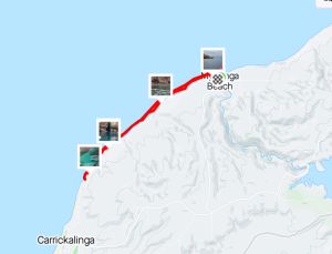


Distance: 13.54 Km

Rolling at West Lakes 21 April 2024

Michael, Pavel, Terry and Warwick joined Anne for some rolling and rescue training at West Lakes. After some introductory exercises to limber up on the grass we took to the water armed with paddle floats and lots of courage. Starting in the small white-water kayak it wasn’t long before the paddle floats were removed and a real roll was happening. Then the challenge – repeating the roll in their larger sea kayaks.

At the end of the session there were some very happy paddlers.


Sunset in Lindsay River

Circumnavigation of Lindsay River, Murray-Sunset National Park, 29-31 March 2024

Preparations and launch

After last year’s Lindsay Island trip was aborted due to flooding, we decided to have another attempt. We wanted to see what damage the floods had done. An early start on Easter Friday went better than expected. The traffic was quiet, and we made good time to the meeting point at the entrance to the park on the Old Mail Road. We all then drove up to the regulator at the mouth of the Mullaroo Creek. The plan was to start and finish the trip from there. After inspecting the site, and finding the launching spot was more difficult than we remembered, we came up with an alternative plan. We decided to leave one car there for the finish, and do a short car shuttle to just past the Lock 7. This allowed us to avoid a tricky launch, cutting out a boring bit of the Murray, and not having to worry about lock operators lunch hours.

We cruised down the Murray with the current, and got to the first campsite after 15 kms, just inside Toupnein Creek where it was calm and peaceful away from all the holidaymakers on the Murray thanks to all the snags and fallen trees in the creek.

Second Day

Kayaking LimboNext day we carried on down Toupnein Creek, enjoying the peace and serenity, until it joined the Murray again. Helped by the current again, we sped down the Murray to the exit of the Lindsay River. The day turned out longer than planned. As we bypassed the previous trips campsite to look for a better one, which didn’t turn up for another 6 kms, by which time everyone was more than ready to stop. Total distance for the day was 31 kms.

Checking the weather report the next day, we were glad to be ahead of schedule, as the forecast for the final day had turned from ‘10% chance of 1mm rain’ to ‘70% chance of 15mm rain and storms’. We had been caught in the rain in this area before, and the roads turn from well-formed dirt roads into slippery, sticky clay-filled mud traps in no time at all.

Third (and last) Day

Negotiating Mullaroo CreekAfter some discussion over breakfast it was decided to push on and try and finish a day early. The creeks had other ideas. As the closer we got to the end, the narrower and more snag-filled the creeks became. Progress slowed as we pushed under, over and sometimes through the fallen trees. The floods had obviously pushed a lot more wood into the creeks.

Finally reached the end in the late afternoon after a difficult 30km paddle. Quickly retrieved all the cars left by the launching spot, loaded up, and left while the roads were still nice and dry. After a long day of paddling, and being late, most people opted to stay the night rather than drive back to Adelaide. We retired to the Paringa Hotel for refreshments and food, making it there about 30seconds before the kitchen closed!

After that we retired to a nearby free-camping area, set up the tents and chairs. We spent another hour debriefing and re-hydrating before retiring to bed where I slept very well. Next day was a relaxing drive back to Adelaide, checking on the weather reports. Turned out the rain was much less than forecast, and came in later. Oh well, better to be safe than sorry!

Overall statistics (Links point to GPX track files)

Canoe Polo at Nagambie, 24-25 February 2024

This year’s Nagambie Canoe Polo Summer Series competition, held at the Nagambie Lakes Regatta Centre, attracted players from Adelaide Canoe Club as well as players from other S.A. clubs, Victoria, Queensland, New South Wales and the ACT. There were five teams in the Social division, in which the SA Masters team competed, four teams in the Women’s and six teams in the Open division.  The Masters, Women’s and Bulldogs teams from SA finished first in their divisions and the second SA Open team, the Redbacks, finished fourth. Cole Polley from ACC was 5th highest goal scorer at the event.
Well done SA Canoe Polo teams.

Coffin Bay — 5 – 9 February 2024

Monday

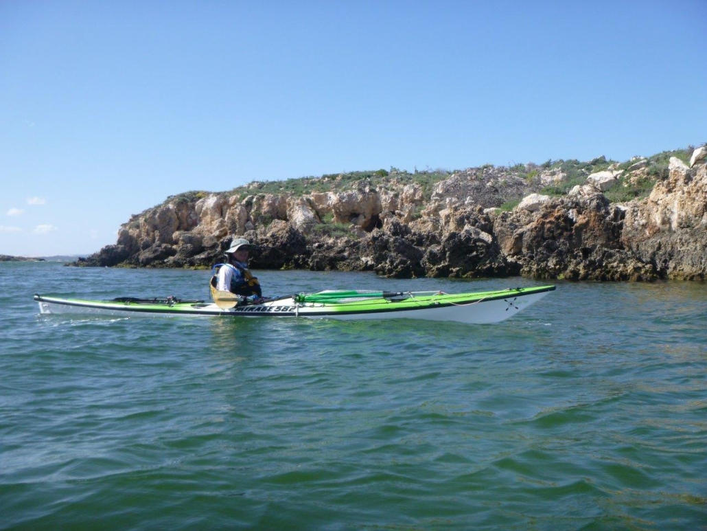
Monday 5th February we set off from the beach near the Coffin Bay Caravan Park. A 9 knot south easterly wind made the sea choppy with occasional waves washing sideways over our kayaks. The Brothers Islands gave us a short respite before we crossed to Eely Point. Then along the sheltered cliffs to our camp at Black Springs. The early start to avoid the strong winds in the afternoon meant we completed the 17km before lunch.

Greg and Chris were pleased that they had stayed upright in the choppy water and Steve enjoyed a sail from the Brothers Islands when the wind was more from behind. Simon, Greg and Steve had a lazy afternoon at camp. Chris and Anne set off on the Black Rocks hike. Looking out over Avoid Bay, Chris and Anne spotted a large Osprey nest with a couple of osprey that took flight and screeched overhead.

Tuesday

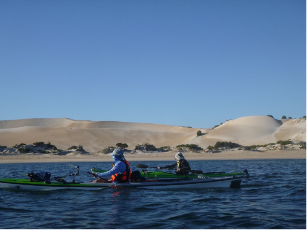
Another early start paddling on Tuesday, to take advantage of the calm conditions. We made it through the oyster beds (always a highlight) and around Point Longnose and then were mainly sheltered close in along Seven Mile Beach. We stopped to look at a whale skull which had washed up on the beach years ago. It is amazing how big the skull and top jaw was. No sign of other bones though, so hard to estimate how long the whale was.

Seven Mile beach is mainly large sand dunes and Chris was wishing for a slide down their steep slides. Instead we enjoyed looking at the seaweeds and the couple of rocky reefs as we paddled to Morgans Landing. Again the early start meant we were setting up camp before lunch then enjoyed a restful afternoon having paddled about 20km. Morgans Landing camp sites were inundated with bees. However, Greg solved our problems. He put a bowl of water away from our tents and the bees congregated there to get a drink instead of on us.

Wednesday

Wednesday was the best. We left camp set up and headed north to The Pools campsite then around Point Sir Isaac and into Seasick Bay, which was remarkably calm. We could look down into the clear water and see fish and a multitude of different seaweeds, sea grasses and sea lettuce. Simon and Anne have been trying to get to Point Sir Isaac on two other ACC Coffin Bay trips. A lightning storm first and then strong winds made it impossible. This trip we made it! The water was so calm we could see a pod of dolphins feeding. There was so much splashing and blow spouts that Steve thought it might be a group of orcas.

A nearby fishing boat went to get a closer look and reported back that it was just dolphins. We turned around fairly soon after morning tea because the forecast was for stronger headwinds for our return journey. The forecast was correct, we were glad to be back at camp for lunch, avoiding winds over 15 knots.

Thursday

Another early start on Thursday to avoid the strong afternoon winds. We had a beautiful paddle back along Seven Mile Beach with the early morning light highlighting the sculptured sand hills. Point Longnose has changed; there is now a channel through, with a sand island further out. The water was shallow and so calm as we paddled back through the oyster beds that we could see starfish and Fiddler Rays below the kayaks.

Then the deeper water past the oyster beds was whipped up by a strong head wind and odd currents into tricky confused waves. Our aim was to head straight into the waves as best we could. Then when in the shelter of the beach make our way back to Black Springs campsite. In the difficult conditions Greg and Steve became separated from Simon, Anne and Chris. Then Chris got swamped and needed a rescue. After a successfully completing his first rescue in his new kayak we continued our battle towards the sheltered water and then camp. Everyone made it safely, pleased at managing the difficult conditions. Once again our early start has us having lunch after our day’s paddle, then setting up camp and relaxing.

Back to Coffin Bay

Knowing that we would have a head wind on the way back to Coffin Bay township we are again up early and setting off just before the sun rose. The paddle back to Eely Point was OK, with just a slight breeze then we turned into a strong headwind. This time we managed a tight group as we paddled into waves and wind towards The Brothers Islands. We enjoyed a short rest there looking at some seals that came into the water but not too close to us. Leaving The brothers had us initially in very confused water as tide and wind were mixing in odd ways. Once away from the islands the water settled into consistent waves and about a 13 knot head wind. Another stop on a small beach for some food and rest had us refreshed for the final push to Coffin Bay township.

With the wind from the south east we planned to get close to the town then cross over to the town side and hope for some shelter. However, by the time we got there the wind had swung around slightly to an easterly, so no rest from that. We had checked the tides and knew we had a following tide so were confused when we got near the town and found a wind-set current going against us! It just all worked against us in the last stretch to our end point but we made it. We had managed the 17 km against head wind, waves and without the tide assistance.

Time for Oysters

After setting up camp and having a luxuriously long shower we went over to Oysters HQ to sample the best Coffin Bay oysters and beer. Then enjoyed dinner at the Yacht Club to celebrate our achievement of completing the paddle around Point Sir Isaac. We survived the tricky waves and wind and the general wonderment that Coffin Bay offers in the pristine waters, magnificent sand hills and cliffs and wilderness of the National Park.

Eildon white water, 9-12 January 2024

Eleven ACC members, Greg Watts, Steve Carter, Kathleen Shorter, Charlie and Marina Walker, Anthony Aardenburg and Bella Kosterman, Simon and Anne Langsford, Scott Polley and Steve Wild together with friends Charlie and Heather Yeatman from NSW and Clay Hunter and his boys Asher and Tom from Victoria met at the white water course alongside Breeze Holiday Caravan Park (formally Blue Gums Caravan Park)

There were flooding rains on the Monday as people made their way to Eildon, which resulted in detours and longer drives for most people. We arrived and had to negotiate alternative camping sites to avoid those waterlogged. We were ready to paddle on Tuesday morning. Because of the floods the river level was initially very low but rose continually during the week as Eildon dam was full and releasing water was essential. This gave us very easy conditions for introducing whitewater skills to the new paddlers and then later in the week challenging water which was great fun.

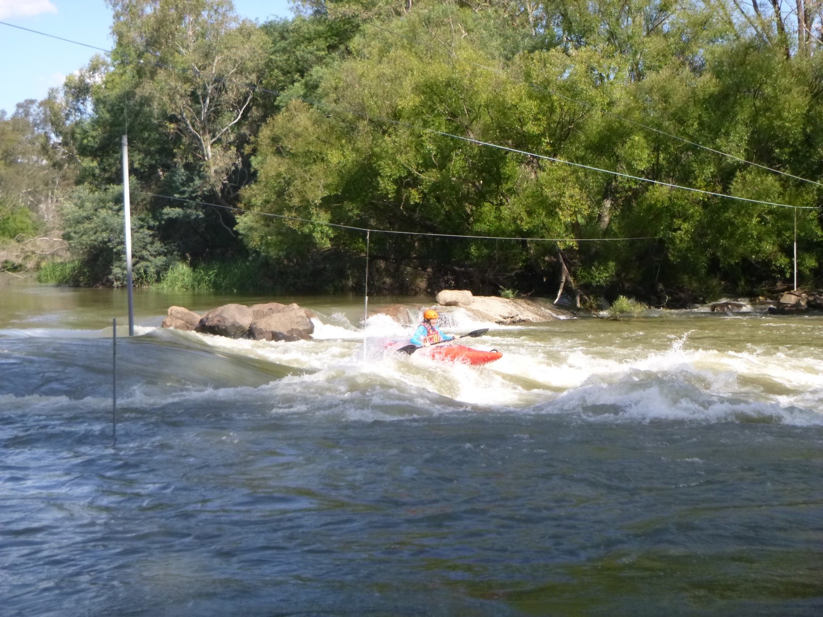
Again this year Scott Polley was the main instructor, with other experienced whitewater paddlers proving coaching, tips and safety for everyone. We all extended our skills, which occasionally resulted in a swim or opportunity to practice rolling and assisted rescues. As the water levels rose there were lots of waves strong enough for surfing and the challenge of getting steady enough to perform a paddle twirl.

First day on the water

Tuesday, our first day on the water was memorable. Scott started the day with most people swimming down the river and some throw bag practice. The swimmers all made it to shore and were sometimes caught by one of the three throw bags aimed at them. Charlie Yeatman had the highest score for saving throws. The rest of us need more practice! The rains made the water very muddy but it was not as cold as usual as dam water was held back. The easy conditions were good for teaching the new whitewater paddlers, Greg and Bella. The afternoon saw us down in the Sump tackling the wave there. Bella made it through twice, looking very confident in the big waves. Simon and Charlie attempted to surf the wave but it only held them for a few seconds each time. However, they did provide lots of entertainment for those of us watching.

The Dam Wall and the Eddies

On Wednesday we planned a paddle from the dam wall. Steve Wild, Scott and Anthony paddled up from the caravan park but the rest of us took the easier option of starting from the top and just paddling down river. There were waves to surf on the way and we stopped to play at the S Bend rapid. Everyone’s skills had improved as Steve Wild commented that he only did two rescues today. Greg was also very impressed with the rescue team as he had three boats next to him helping as he surfaced from his capsize. Scott noted the skill development today of Asher, Greg, Bella and Kath. Dam water was being released and as the river water cleared a couple of platypus were spotted. The extra water also made The Sump wave bigger so Charlie Walker could scare himself again trying to get onto it for a surf.

With everyone confident at breaking into and out of eddies, we headed up to Big River on Thursday. The water level was at 0.85m; higher than anyone remembered from previous years. The rapids had much more water over them so there were faster runs and few rocks to hit. The slalom rapid in particular was great fun.  Everyone successfully negotiated the rocks and turns needed to make it down to the eddy at the bottom. Marina said it was the best Big River ever, and I think we all agreed with Steve Carter when he said it was the best day’s paddling for a long time. There was a rock that gave a bit of grief to Bella and Greg but they got the correct edge upstream and didn’t fall in. Charlie Yeatman discovered that trees are best avoided, even when it looks like a narrow gap to paddle through. For his first time whitewater paddling, Greg was particularly pleased at getting through the Slalom Rapid successfully, looking confident approaching the bottom.

Wrapping up

The last day saw us all back at the top ‘pumpkins’ playing in the stronger water. The second ‘pumpkin’ was completely covered which created a great wave for surfing. Charlie, Anthony and Scott did practice their roll, but only once or twice. By now the release of dam water made the river very cold.

Most of us left on Saturday morning. Charlie and Marina Walker, Anthony Aardenburg and Bella Kosterman headed back up to Big River for another paddle while the water level was so good. They redid the section we had done on Thursday. Then continued down to Burnt Bridge and camped there for the night. The river was, again, lots of fun.

This was a great week paddling white water. Thanks to Scott for instructing and giving feedback and tips on our paddling strokes. We improved our skills and had lots of fun.

Think about joining us next year to experience the exhilaration of white water paddling.

Sailing the Coorong from Salt Creek to Murray Mouth — 2-5th January 2024

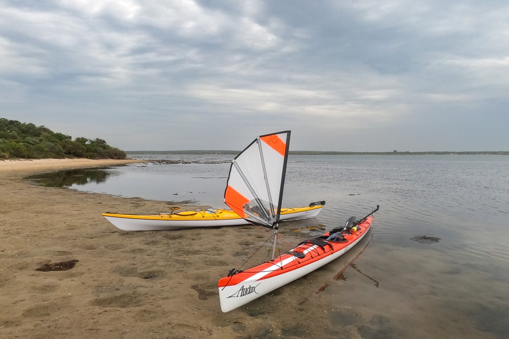
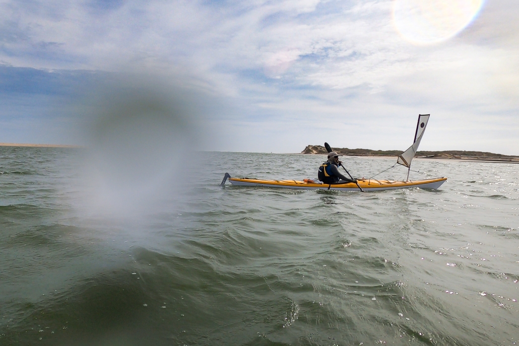
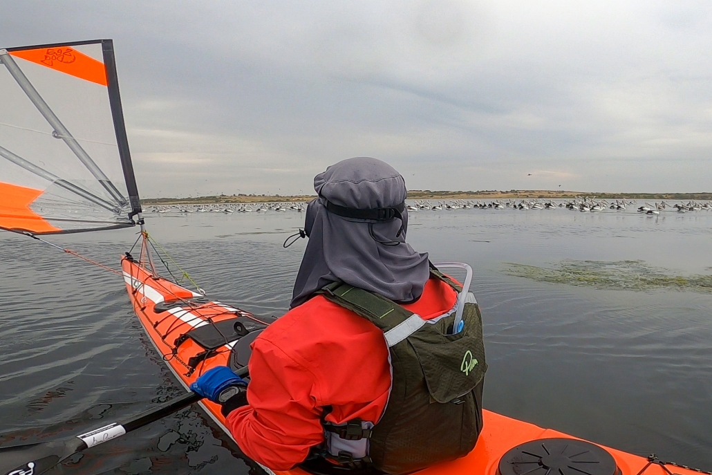
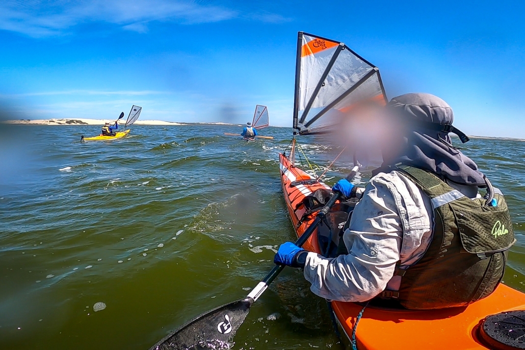
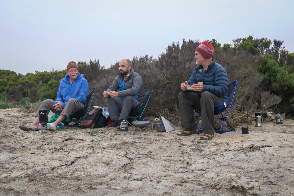
Embarking on a memorable expedition, our team, comprised of Phil Doddridge, Greg Adams, and Matthew Eldred, set sail from Salt Creek around 11 am on Tuesday, January 2nd. The wind, as predicted, gained strength, facilitating a smooth 37 km paddle under sail to our initial campsite near Parnka Point, surrounded by mud. Notably, the Coorong’s water level was unexpectedly low. It was hovering around a meter below its optimal height. A recurring theme throughout the journey.

Through the mist

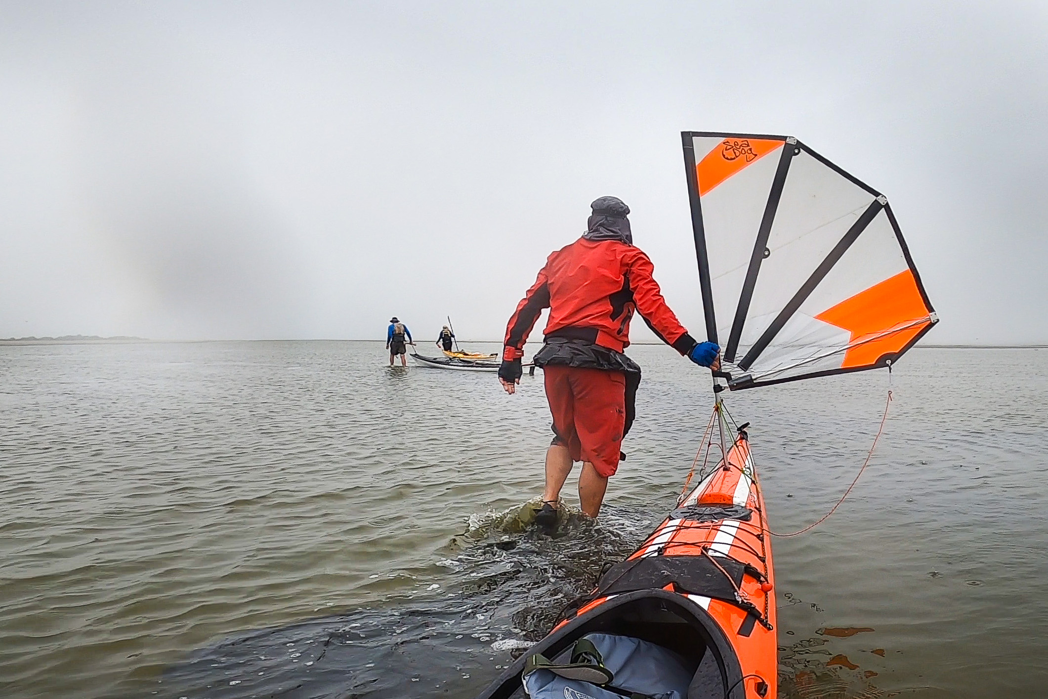
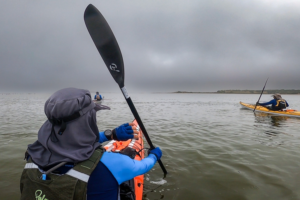
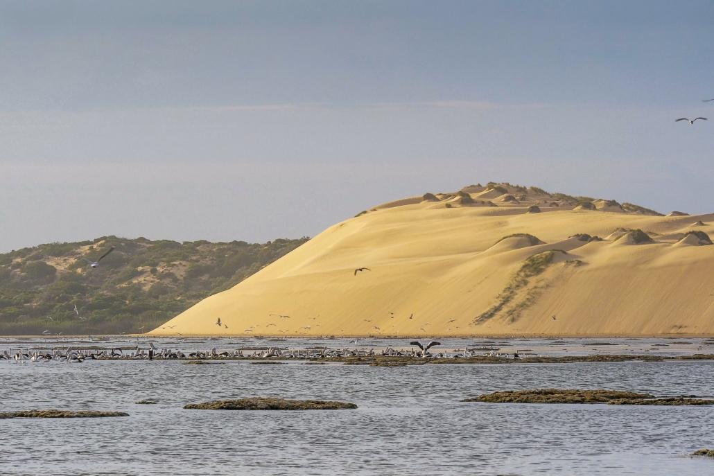
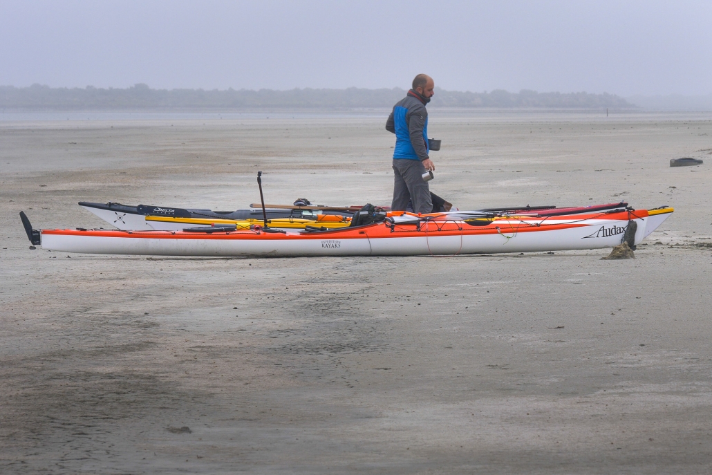
Day 2 dawned with a mysterious sea mist, casting an eerie atmosphere over our paddle. We also had a slower-than-anticipated southwest wind. Navigating westward through islands, coral reefs, and challenging sand flats, exacerbated by the low water level, proved a test of our resolve. The silver lining was the influx of birdlife drawn to the flats, offering a unique opportunity to appreciate nature.

Overcoming the hazards, including negotiating the needles and coral blockage we suffered minor skin abrasions but we considered it the small price of admission. Beyond this obstacle, the remainder of the journey to the Coorong cabins, where Phil’s car awaited, became a smooth paddle into the mist.

Day 3 greeted us with lifted fog and a return of southeast winds at 10-15 knots. Despite persistent low water levels and expansive sand flats, the familiar sights of the Coorong’s freshwater soaks, rolling sand dunes, and aqua-colored waters made it a classic experience. A change of plans at Tauwitchere barrage lock. The low water and high winds made crossing into lake Alexandrina not appealing.
Murray Mouth

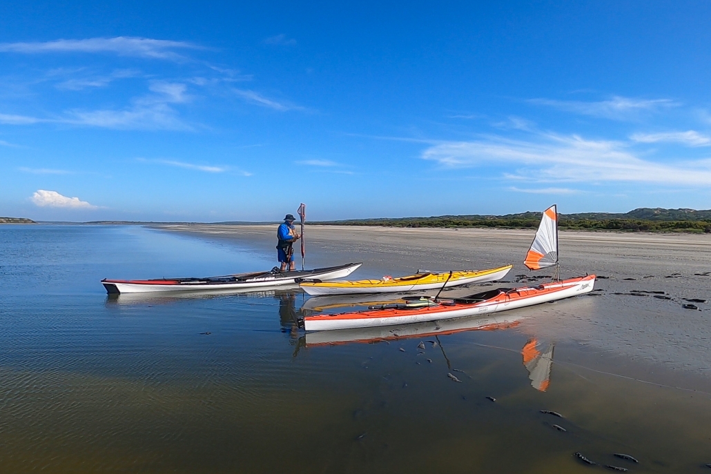
Opting for the Murray Mouth as our finishing point allowed us to capitalize on favorable winds. We completed the 110 km paddle from Salt Creek.

Throughout the trip, our backyard revealed hidden gems from enchanting campsites and islands to diverse wildlife and concealed shacks. The journey was a tapestry of discovery, weaving together the beauty of our surroundings and the thrill of exploration.

Myponga Beach to Carrickalinga Point Sunday — 3 Dec 2023

Perfecrt Day for a Paddle

Perfect weather, a beautiful place to paddle, great company and dolphins; could you ask for more?

Mark, Berny, Marius and Terry joined Anne and Simon at Myponga Beach to paddle south along the coast towards Carrickalinga. With almost zero swell and beautifully clear water we had fun playing in the rock gardens and visiting a couple of caves along the way. Some rocks were ‘touched’ and one Mark found himself stuck on until the next swell lifted him off, but all that just added to the fun of the paddle.

After practicing a few rolls we landed on the little beach below Carrickalinga Point for lunch. On our return paddle we spotted a large pod of dolphins that seemed to be in a feeding frenzy, circling around and coming to the surface often.

The tide had dropped significantly by the time we landed back at Myponga Beach so there was a longer carry getting the kayaks back to the cars. Rinsed off, changed and packed up, we headed to the Myponga Bakery for a well-earned afternoon coffee.

Statistics (Links to GPX file)

Sunday 3 Dec 2023 — 15km return over 5.15 Hrs


Innes National Park, November — 4th and 5th November 2023

I first visited Innes National Park-Dhilba Guuranda more that 40 years ago as a surfer, then scuba diver and now as a sea kayaker. Although the inland nature of the park is more manicured to pamper the modern camper the coastline is unchanged, wild, visually stunning, partly inaccessible from land and challenging to sea kayak. The rolling swells, ocean winds and currents are ever present factors to be considered in planning and when paddling.

As the weekend approached the weather and swell forecasts looked ideal for a sailing and sea kayaking adventure of great proportions. Winds up to 15 knots and low swell for this region. The plan was to camp at a favourite site called Shell Beach over Friday and Saturday nights and to paddle Saturday and Sunday.

Saturday

On Saturday morning all the group members had arrived at Shell Beach. Karl, Chris, Charlie and myself on Friday and Abelardo on Saturday.

Saturday’s paddle plan was to explore from Cable Bay around the very exposed Cape Spencer then northwards to Pondalowie Bay having a look at an amazing feature called The Gap and nearby Howling Cave Beach on the way. Given the forecast of ideal winds we decided that paddling all the way back to Shell Beach was also achievable. The total distance being a bit over 20 kilometres. Great plan.

On arrival at Cable Bay the wind was gusting over 20Knts from the south east and the promise of a sunny day was just that…a promise. It was heavily overcast and quite cold. Not deterred all paddlers were keen to give it a go and quickly prepared their craft and kit.

The launch was easy with no waves breaking on the beach. I had selected each launch and landing site carefully to minimise the chance of breaking waves.

Karl had paddled the day’s route several times and was elected to lead out through the small reefs and bombies. There was quite a bit of apprehension in the group calling for a cautious approach to this section and a tight group structure. A capsize could have occurred at any moment in the confused seas which reached their most challenging rounding Cape Spencer. The swell was coming from several directions and rebounding from the rocky shoreline. Charlie rated this section a BLACK ZONE on the new ACC rating system! We were all relieved to get around to the western side of the Cape and into less demanding conditions. It was a downwind run to The Gap and Howling Cave Beach but with the wind gusting over 20Knts it was decided not to hoist the sails just yet…we were travelling plenty fast enough!

The Gap

The Gap is an interesting coastal formation where erosion has carved a huge “amphitheatre” into the high cliff line. Begin in a more sheltered area we were able to explore inside the feature. Stunning high vertical sandstone/limestone cliffs all around!

Howling Cave Beach sounds like a place you just have to visit if you have an adventurous spirit. The small bay was very sheltered with only a tiny wave breaking on the beach, so we landed for an enjoyable lunch.

After lunch it was a fast paddle with sail up past Ethel Beach and West Cape to find another sheltered beach just inside West Cape to land and stretch the legs. From here we could look towards Pondalowie Heads and the numerous breakers between us and the next sheltered bay. We cautiously picked our way through these keeping an eye to seaward for “sneakers” at all times.

Crossing Pondalowie Bay to Royston Head was a real slog with side winds to 20Knt. It was such a relief to find a perfect and sheltered sandy beach on arrival. We landed for an extended rest and photo opportunity producing some awesome pics!

The final leg back to Shell Beach was something I had been dreading as it would be a slog straight into the wind. It turned out to be the best part of the day! The coast was littered with rock gardens covered with stunning growth. By staying in amongst the rocks we could avoid the wind and enjoy the challenge of manoeuvring through the gaps and riding the surging waves.

Upon reaching Shell Beach two big challenges awaited…getting the kayaks up the steep steps to the campground and retrieving the cars from the launch site. These were achieved with a minimum of fuss and a well-earned meal and wine finished off the day.

Sunday

Sunday morning brought sunshine but persistent strong ESE winds. We agreed that the original plan of another 20Km day was a bit optimistic and would not lead to a fun day’s paddling. With the winds further to the east there would also be no sailing. We opted to go search around Corny Point for some nice coastline to explore.

After another leisurely breakfast we headed to Berry Bay where a large number of school students were enjoying a surf lesson in the beautiful small waves and offshore winds. Quite ideal really apart from the steep and long set of stairs from the carpark to the beach. We’d done enough hoisting kayaks yesterday so needed another option. Karl had noticed and other beach with access on the way and went to check it out.

He arrived back with good news. Gravel Bay looked ideal with a 4WD track down to a sandy beach and no breakers. Our plan became to launch from Corny Point township, head west and downwind around Corny Point, south along Berry Bay to exit at Gravel Bay. All up about 9 Km which would lead to a reasonable landing time to begin the drive back to Adelaide. Perfect for how we were feeling.

Once at Corny Point township it was close enough to lunchtime to get some pies, sandwiches and iced coffee’s from the general store and then it was off to the beach boat ramp.

Launching

The beach launch was quite stunning with pure white sand, crystal blue sea and a huge sandbar that required some walking before paddling. Corny Point was one of the highlights (amongst many) for the trip.

Paddling down along spectacular Berry Bay with it’s pure white sands we encountered dolphins and seals. It wasn’t long before we had paddled and drifted down to Gravel Bay surrounded by rock gardens with plenty of growth clinging to the outcrops. This brought the end to paddling for the day. We piled into Chris’ minivan and back to the launch site to retrieve other vehicles, load up and began the trip back to Adelaide. A very satisfying weekend of adventurous sea kayaking and camping.

Report by Phil Doddridge, photos by Karl Meyer

Overall Statistics (Links point to GPX files)

Saturday 4/Nov Cable Bay – Shell Beach 24.5Km

Sunday 5/Nov Corny Point to Gravel Beach 9.77 Km