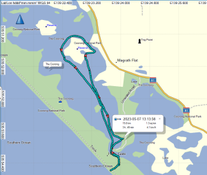
Early Arrival at Port Vincent
The original Plan A was to paddle out to Wardang Island and spend a couple of nights camped on Goose Island but the weather failed to cooperate, so Phil as Trip Leader suggested a Plan B, paddling on the eastern side of Yorke Peninsula from Port Vincent to Stansbury and then Edithburgh while car camping at caravan parks and visiting the local pubs for dinner. Then on Monday a return trip to Troubridge Island if conditions were suitable.
Winds were forecast W to WNW over weekend, generally below 15Kn so the east coast of Yorkes offered more protection by paddling close inshore. We ended up with 5 members booked from the original 11: Phil, Simon, Abelardo, Giresh and Mark opted to explore the coastline we hadn’t paddled previously.
It was good to form our own opinions of this section of the coast after hearing varied opinions.
Phil and I drove down on Friday and checked into Port Vincent Caravan Park, a well setup park with unpowered sites protected from westerly winds.
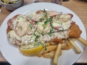
Squid Schnitzel at Pt Vincent
Once settled in we took the opportunity to catch up with local Adelaide Canoe Club members Carol and Robert. We discussed possible Club involvement in the Salt Water Classic event planned for April next year, when a flotilla of wooden boats and kayaks will be sailing, rowing, motoring, and paddling from Stansbury to Port Vincent, taking advantage of the flood tide on the day. Robert took the opportunity to show us his wooden boat collection which was very impressive (as you can see in the pictures).
Carol and Robert offered to help with the car shuttle when we arrived at Stansbury and also recommended the Dalrymple Hotel there, but emphasised that we had to make a reservation – nothing like local knowledge!
An easy walk to the Ventnor Hotel on Friday night – excellent squid schnitzel, comparable to our visits to the St Kilda Hotel when paddling Barker Inlet.
Day 1: Port Vincent to Stansbury

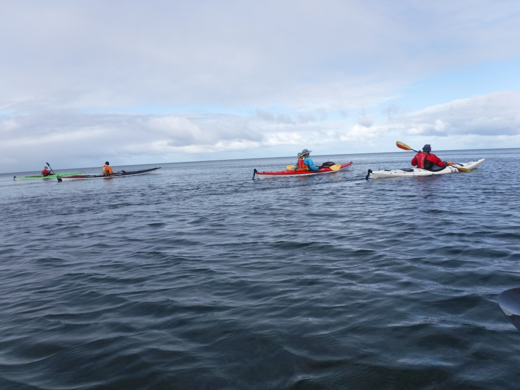
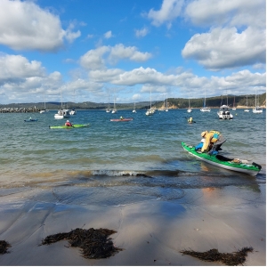
Paddlers before launching in Pt Vincent
The rest of our group arrived at the Port Vincent Yacht Club about 10:30am on Saturday, a nice easy location to launch just adjacent to the Port Vincent Kiosk – very handy for coffee and a range of seafood – and noted for future trips.
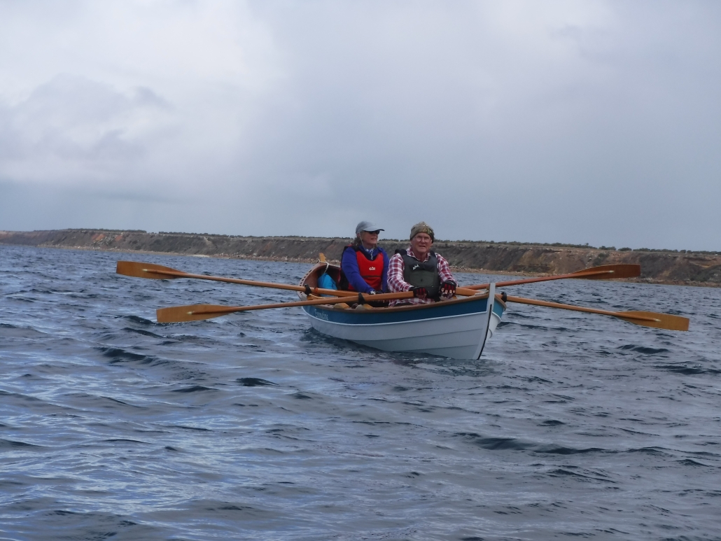
Robert and Carol soon joined us and after introductions and a couple of pictures we were all on water about 11.40am. They had arrived in their 16´ ‘Double Ender’ wooden boat, lovingly built by Robert from plans by Doug Hyland of Maine, USA which were styled after the lobster boats used in the area about 100 years ago. The day was a bit overcast and wind around 10kn W so best option was to hug the coast as we paddled south.
Robert and Carol easily kept up with the kayaks and looked great on water, reinforcing the attraction of the concept for the Salt Water Classic paddle with a range of boats and kayaks. With sunshine breaking through the cloud cover, we spotted a stingray then a pod of dolphins, so the omens promised a good paddle!

Rob and Carol joining the start of paddle at Pt Vincent
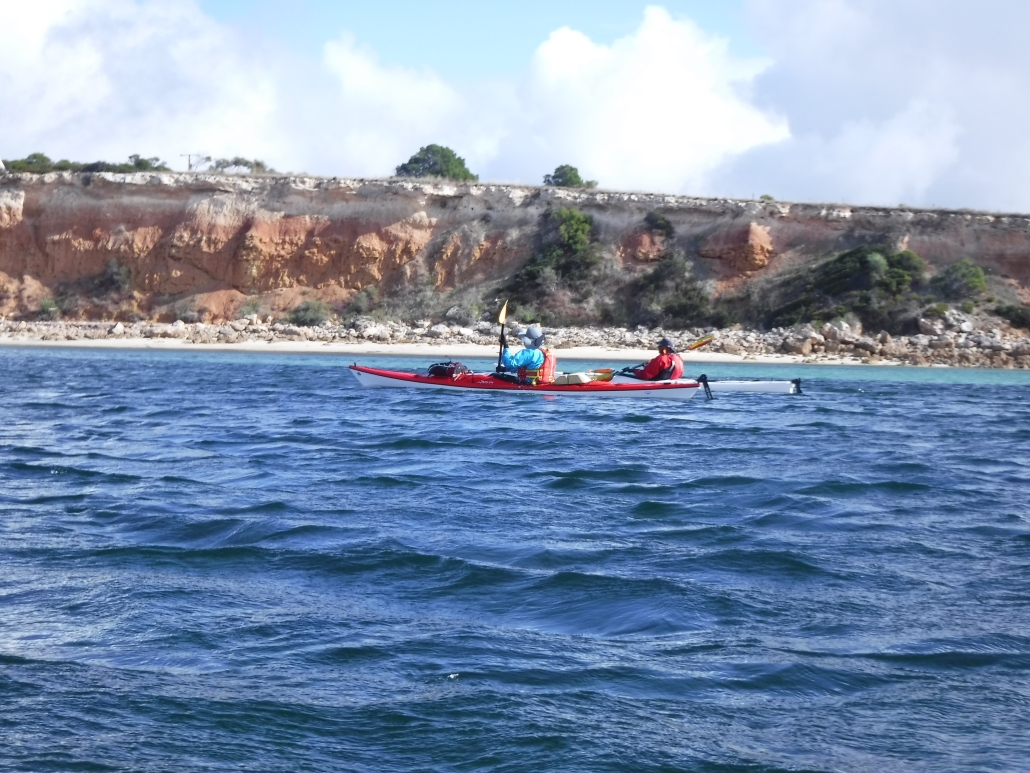
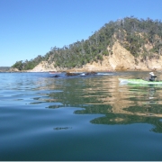
Around 1pm we said farewell then worked our way into the cliffs, admiring the stunning formations which only improved as we paddled south. Erosion over the millennia has formed a beautiful landscape along this section of the coast.
We encountered several overhanging rocks and selected one that looked stable and took the opportunity for a group photo.
Paddling close inshore we had to remain alert for limestone outcrops that just popped up unexpectedly – reminded me of our recent trip to Parnka Point on the Coorong.
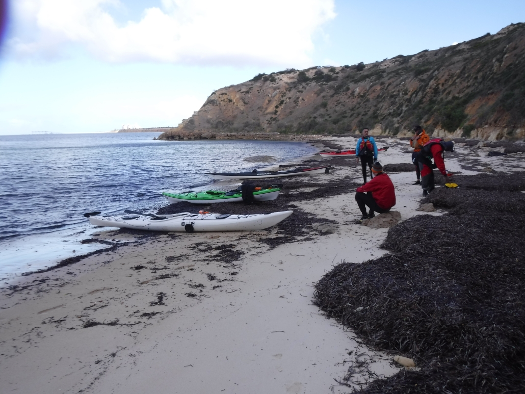
The first stage of the paddle was turning out to be above expectations and we made several stops along the way to admire the cliff formations, we even spotted a beach that might be suitable for an overnight stop with the right tide.
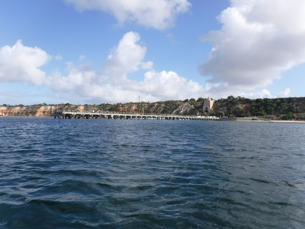
We knew we were close to Stansbury when we spotted the jetty and shortly after there was Robert on the boat ramp breakwater taking photos as we approached. After being entertained by the numerous seals resting on the breakwater we continued along the township coastline of Stansbury, arriving about 3.30pm to a very kayak-friendly caravan park with a nice sandy beach, perfect for landing and launching kayaks just in front of the unpowered campsites.

Arriving to Stansbury
Wasn’t long before we had checked in and met by Robert with his kind offer to ferry drivers back to Port Vincent to collect our vehicles. Phil booked us into the caravan park while waiting for our return with the cars and camping gear.
We quickly set up camp overlooking the beach, before heading off in search of the Dalrymple Hotel, we couldn’t muck around as we had a table booked for 5.45pm – yes, the restaurant is popular!
Once again, squid schnitzel was on the menu. Strolled back along the beach to the camp kitchen for a chat with supper and discuss the day’s adventure and plans for the next day and then into our waiting tents for a well-deserved rest.
Day 2: Stansbury to Edithburgh
A bit of wind and rain overnight but tents still standing in the morning, although Phil decided to take his tarp down overnight before it blew away. After a quick breakfast our first task was to ferry all the cars to Edithburgh with Abelardo driving us back to the launch site.
Headed inshore after clearing the sandbar, more wind at start of paddle but good protection inshore, the stunning scenery continued.
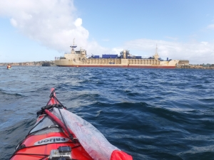
The Accolade II, from Adelaide Brighton Cement
Wasn’t long before we spotted a ship in the distance at Klein Point, moored close inshore. It turned out to be the Accolade II, the Adelaide Brighton Cement (ABC) ship that transports limestone to Birkenhead at Port Adelaide about 4 times per week. We later heard that Simon’s Dad used to be an Officer on the Accolade I and II as well as the Troubridge. Simon has fond memories of attending Christmas parties at ABC as a “little tacker”, so this trip ended up being a very significant paddle down memory lane for Simon.
As we progressed south the coastal formations changed noticeably, with much more of a limestone appearance and not the coloured sedimentary layers.
The next coastal feature was the Lime Kiln Ruin at Wool Bay, looking almost like a small temple when we approached. It is the only one remaining of the six (6) built to produce quicklime by heating limestone, an important ingredient in mortar and brick making in the late 19th Century. The Kiln operated until the 1950’s.

Limestone near Stansbury
The next significant structure we encountered was the Port Giles Jetty – 340m in length and Phil said sharks loitered around the end (might be an old surfer’s myth!) so we took the shortcut close inshore. The Jetty and adjacent storage silos are used to store and ship grain from the Lower Yorke Peninsula.
Our next challenge was a crossing of 4 to 5km across Coobowie Bay, in what looked like a 15kn westerly wind, possibly gusting higher occasionally. No more protection from the stunning cliffs so time to put some effort into our paddling. Coobowie Bay is home to the local oyster industry and according to Carol also serves great meals at the local pub – perhaps next trip! We opted for a short stop at a boat launch site prior to tackling the crossing.
Back on water we set course for a prominent group of pine trees in the vicinity of Edithburgh. As expected, the crossing was just a head down slog but we soon made out the brightly coloured Edithburgh Tidal Pool as we approached the shore and the wind eased.

Lime Kiln Ruin at Wool Bay
We paddled past the Jetty then Boat Harbour and on to Sultana Point Jetty and a small beach we had previously selected as a landing point. After checking in we had a short portage up to a nice grassy unpowered campsite well sheltered from any southerly wind.
Too far to walk to the pub so Abelardo with the tidiest car provided a taxi service. We dined at the Edithburgh Hotel on Edith Street, again a very popular hotel and three (3) of us can recommend the slow cooked lamb shanks.
A stunning evening, couldn’t hear any wind or rain overnight until a light shower just before 7am.
Day 3: Troubridge Island Return

Sail up on our way to Troubridge Island
Hardly any wind overnight and only light rain before we poked our heads from the tents, very excited about paddling to Troubridge Island for morning tea and coffee, and the conditions looked great with only a light westerly breeze, probably below 6Kn for the 8Km crossing.
The island was named by Captain Flinders in 1802 after the Commander of the Fleet at the Battle of the Nile, Sir Thomas Troubridge.
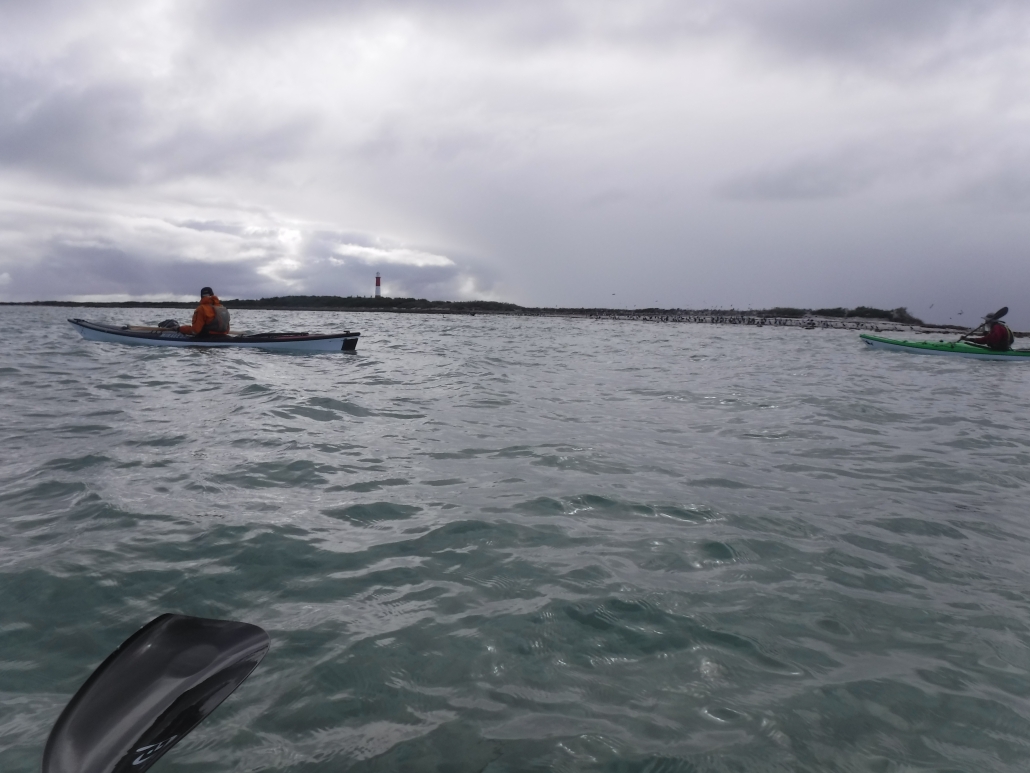
We rushed through breakfast, loaded the kayaks and moved to the Boat Ramp for our departure. No mucking around, we were keen to be on water to take advantage of the conditions. Things only got better as we approached the Island and wasn’t long before we were paddling in tropical-looking turquoise waters in full sun. The real extent of the shoal was visible about 1.5Km out, tide was approaching high water mark with at least 1m of water as we approached the Lighthouse – perfect!

Sail up on our way to Troubridge Island
We were amazed at how extensive the shoal spreads around the Island, very apparent how vessels came to grief in the past. According to Google there were 33 wrecks and groundings until the Lighthouse was constructed in 1856.
Even managed to try out Phil’s 1m² Pacific Action sail with the light breeze, a lot more relaxing than my 1.5m² but the larger sail would have been perfect with the 6Kn westerly.
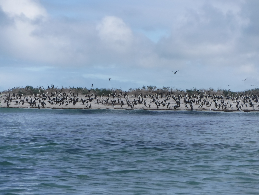
The noise of numerous birds greeted us as we approached, we could see a mass of them nesting on the sandbar on the SW end of the Island.
The bright red freshly painted lighthouse stood out, contrasting the turquoise waters and white sands of the shoal.
We set up on the table in front of the Keepers Cottage with an amazing view and the constant sound of the birdlife. I will let the pictures tell the story! How lucky we were with the weather and our visit has inspired us to investigate the possibily of arranging a couple of days’ overnight stay for a future visit.

Coffee and cake at Troubridge Island
After coffee, cake and a few pictures to capture the moment we were back on water for the return paddle, but not without a circumnavigation to appreciate the size of the bird population.
Wind had picked up on the return as forecast so we settled in for a heads down paddle with the Water Tower as reference point until we got in closer and spotted the boat ramp.
We made good time and were soon back in the safety of the harbour, Abelardo leading the way (having decided to use the last stage for a bit of pace training).
Back in harbour about 2.30pm, Giresh and Phil decided to show off with a couple of celebratory rolls – judging by their reactions the water was cold! We landed at the boat ramp and soon had the kayaks loaded before heading back to Adelaide.
Giresh left for the west coast of Yorkes for another 2 days of paddling while Abelardo, Phil and Mark set off for the return drive to Adelaide.
Our last day’s paddle completed a perfect trip exploring a section of the coast that we hadn’t paddled before, but a trip we will definitely repeat. Lots of stunning scenery and great to visit the towns of Port Vincent, Stansbury and Edithburgh and compare the squid schnitzels along the Peninsula.
It was great to catch up with club members Carol and Robert and we appreciated the assistance in shuttling cars as well as local advice. Both are involved in preparing for the Salt Water Classic in 2024 for Wooden Boats and Kayaks intending to catch the tide from Stansbury to Port Vincent. Rest assured we would love to be involved and the weekend of 13/14th April 2024 is now in the Club calendar, so consider the date for your long term planning.
Overall Statistics
Conclusion
A fantastic trip so very close to Adelaide CBD with lots of options available, including staying on Troubridge Island. A great future alternative back-up for Wardang Island’s trips or just to add to our paddling calendar.
A great Plan B Phil, well done!
Click on the maps below to download the GPX files

GPS Port Vincent to Stansbury

Stansbury – Edithburgh
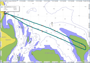
Troubridge Island Return

 The Rock’n’Roll event is the NSW Sea Kayak Club’s premier annual gathering for paddlers, showcasing their enthusiasm for kayaking and camaraderie. It features trips, training, talks, and information sessions, with a strong focus on socializing and community building. The event attracts paddlers from various Australian states,.
 Saturday evening was the Rock’n’Roll dinner, with Paul Caffyn as a fascinating guest speaker. Paul had paddled the coast of Alaska, amongst other things. The diners were also entertained by “The Pogies”; which was a ‘competition’ of short videos made by paddlers. (Some of our ACC videos would have been stiff competition!)
 Everyone arrived at the campsite on Friday, for a relaxed setup and chat around the fire. On-the-water time was set for 9:30 am on Saturday, but by 9am everyone was all set up and ready to go, so we set off up the Murray towards Lock 4, with a nice tailwind to help us along. Bernie phoned the lockmaster just before we got there, so there was no delay once we arrived. After everyone entered the lock, the gate closed behind us and we chatted to the lockmaster as the waters lifted us up, and the upstream gates opened.
 Eventually we reached the Eckerts Creek Wide Waters, where the creek opened up into a nice, wide oxbow lake. We paddle up into a stiff headwind, which gradually turned into a welcome tailwind as we moved around the curve of the lake. After we reached the end of the lake, we continued down the creek until we reached Sawmill Creek, which would take us back to the Murray and our campsite.
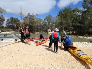
 Sunday morning we packed up the camp first, before heading downstream to do a loop in the opposite direction. The first obstacle was the rocky weir just below the campsite. There was a good flow of water over the rocks, and despite some trepidation, everyone managed to paddle over the weir and navigate the turbulent water below it without and capsizes.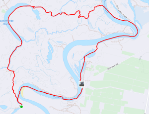
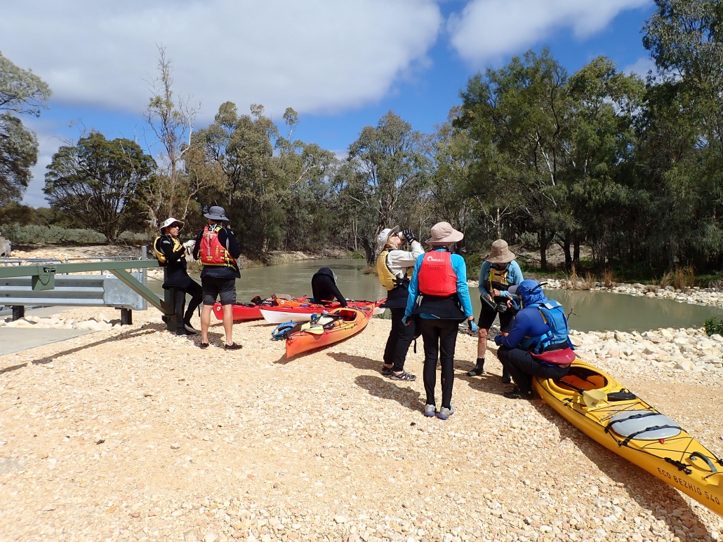
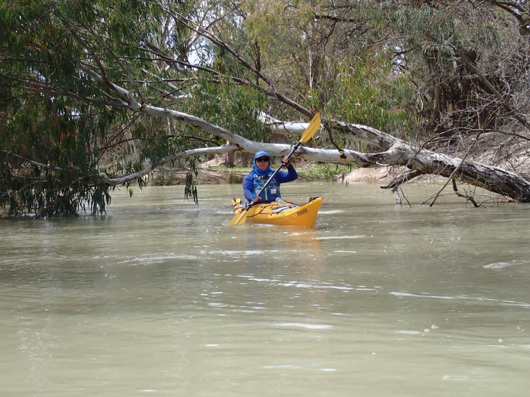
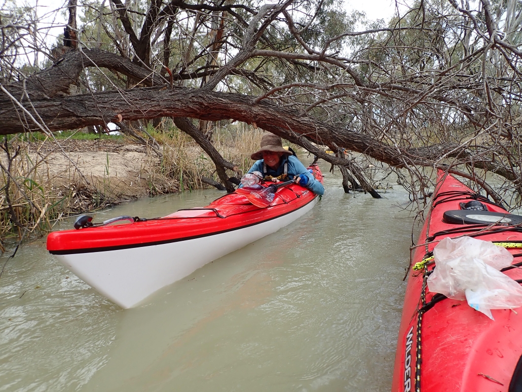
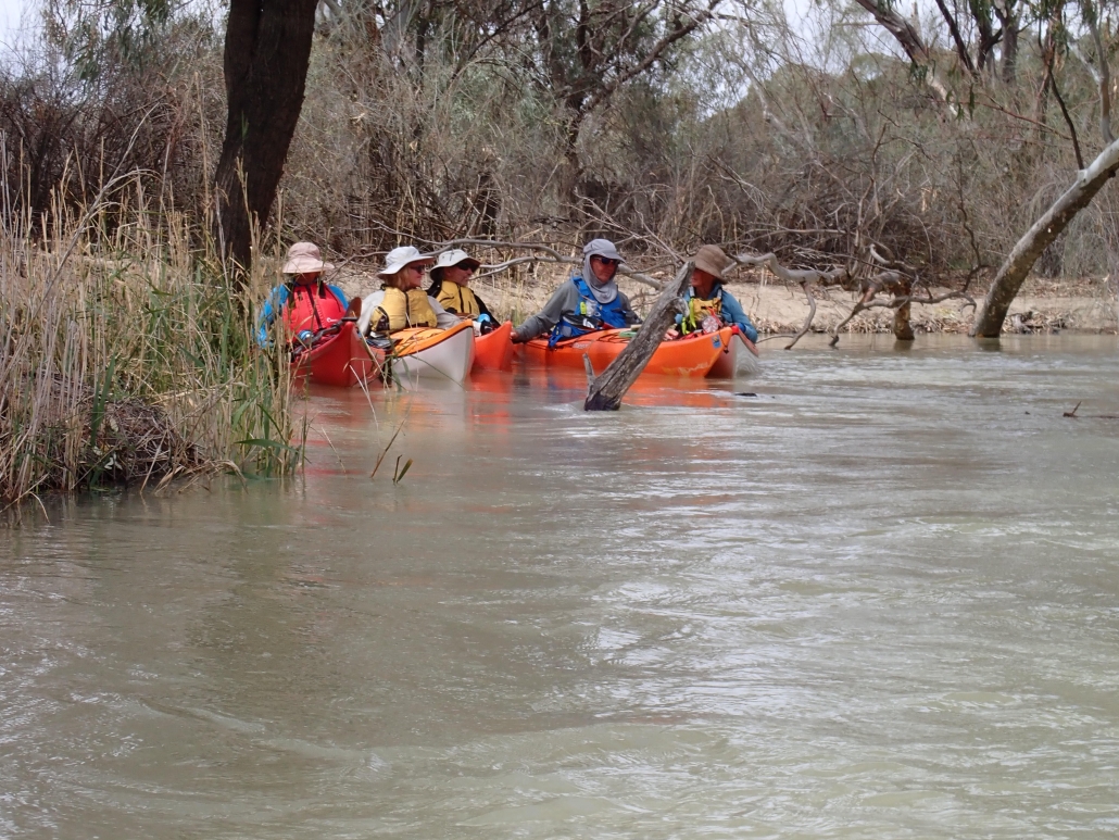
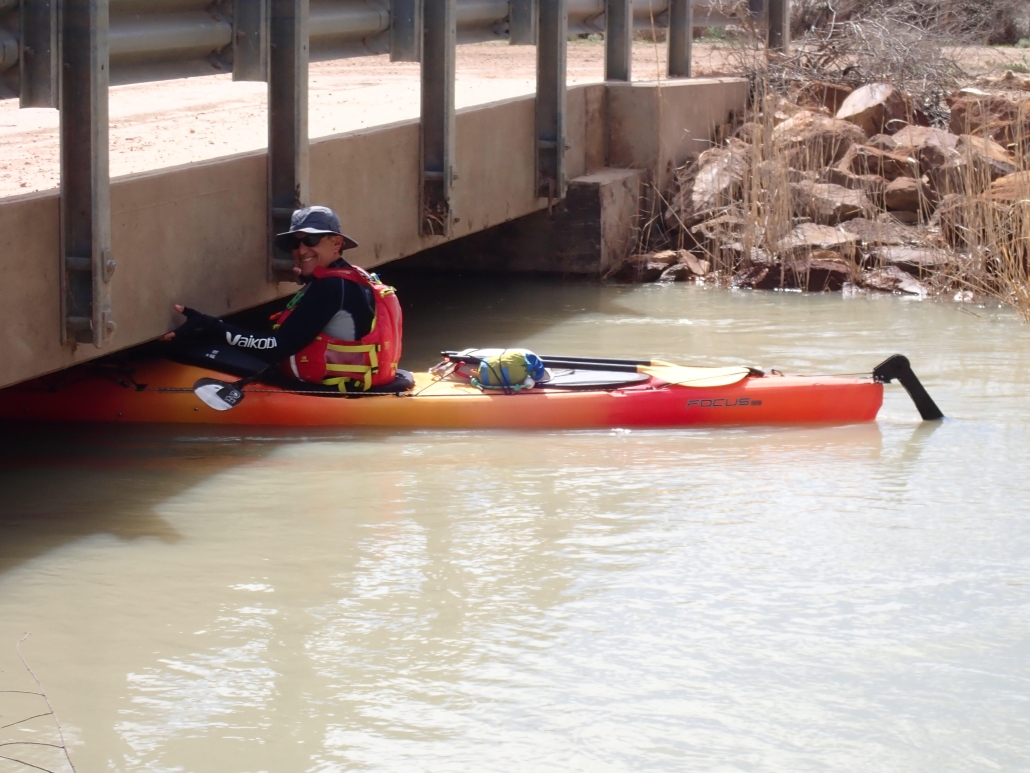
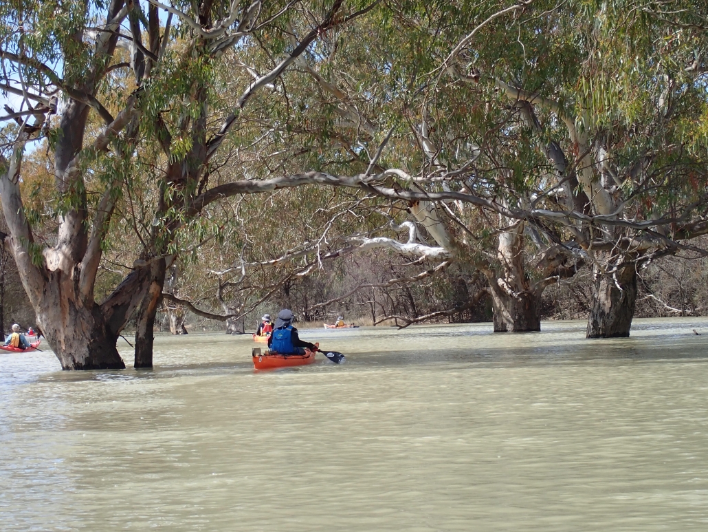
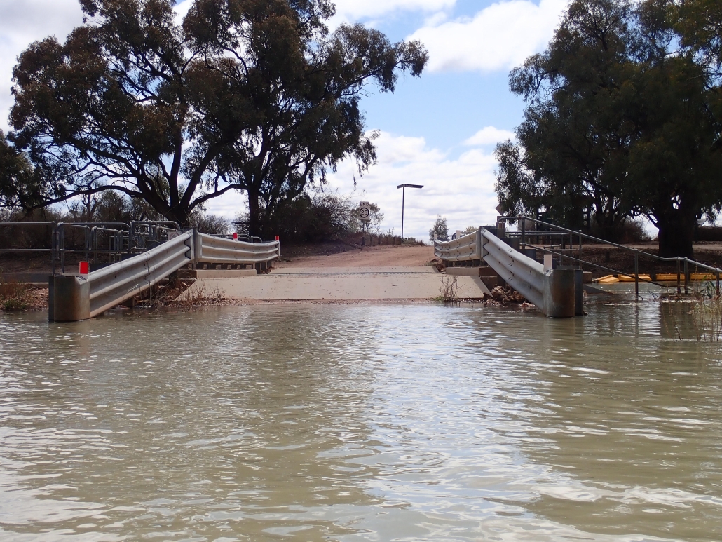
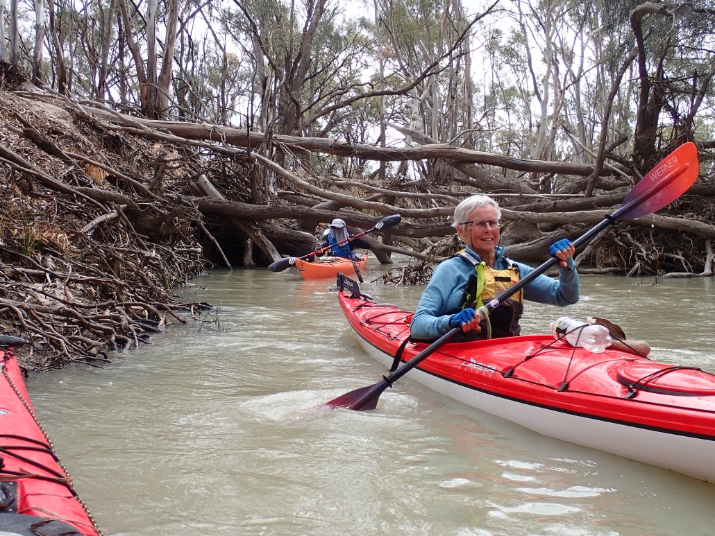
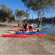
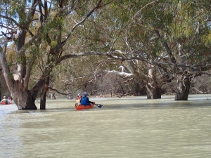
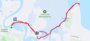
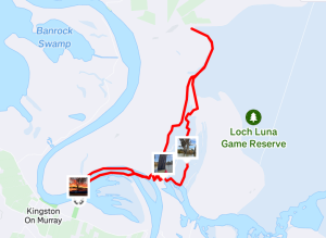
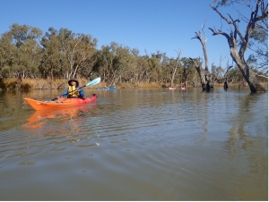 Based at the recently reopened Kingston-On-Murray caravan park, we launched on a gloriously sunny Saturday morning and made our way up the Murray river to the small creek which gives you access to all the backwater channels of the Chambers Creek and Loch Luna channels. We opted to explore the Chamber Creek side first, and so turned right at the end of the creek, into Chambers Creek, slowly meandering up the creek trying not to disturb all the pelicans, swans and other birdlife. Conditions were so good, and everyone was paddling so well, that we got ambitious and opted to go all the up the creek to Lake Bonny for lunch. After a quick lunch we launched again for the trip home, aided by a gentle tail wind. The recent floods seems to have cleaned out some of the channels, as we were able to return via some previously reeded-up routes. It was amazing to see the height of the flood levels marked on the trees, at least 5 meters above the waterline and well above the surrounding floodplain, the water must have spread out for kilometers. We reached the campsite again at 3:30 pm having traveled 19.1 km (by my GPS), just within the trip leaders promised distance of “oh, definitely less than 20km”.
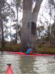 Sunday morning the weather forecast had deteriorated a bit, with winds up the 15 knots forecast, so we cancelled our plans of paddling down the Murray, and headed back into the sheltered backwaters, this time heading north up Nockburra Creek towards Loch Luna. We made our way slowly up the creek until it opened in Loch Luna, the weather forecast was a bit optimistic as the Loch was a mass of waves and whitecaps, with winds of at least 20 knots. We immediately cancelled any thoughts of exploring the Loch, and turned tail back down the sheltered creeks, away from the wind. We slowly made our way back down a different creek towards the Murray, sticking close the bank to shelter from the wind. Luckily the wind had dropped a bit by the time we reached the camp so loading the kayaks on the cars wasn’t too much of a problem.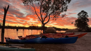
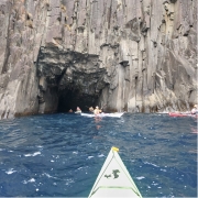
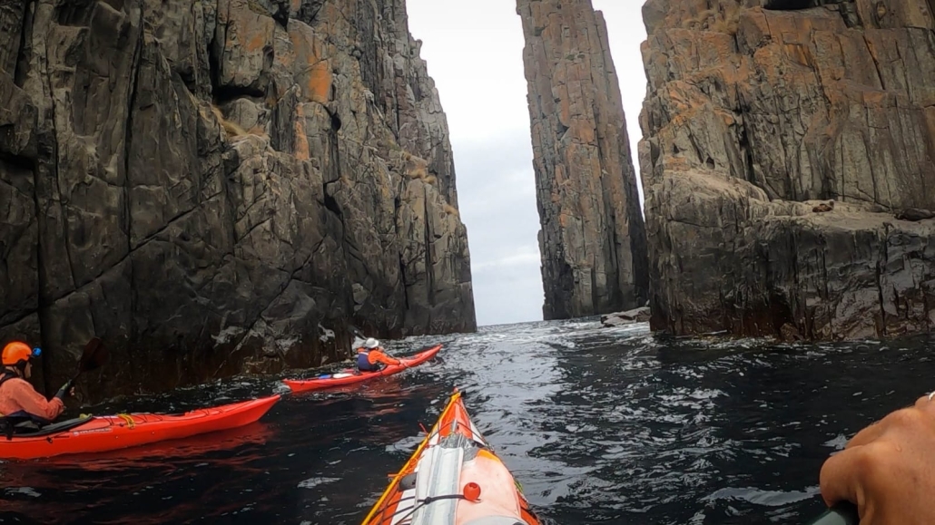
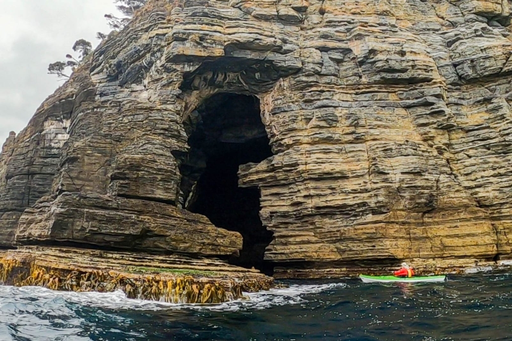
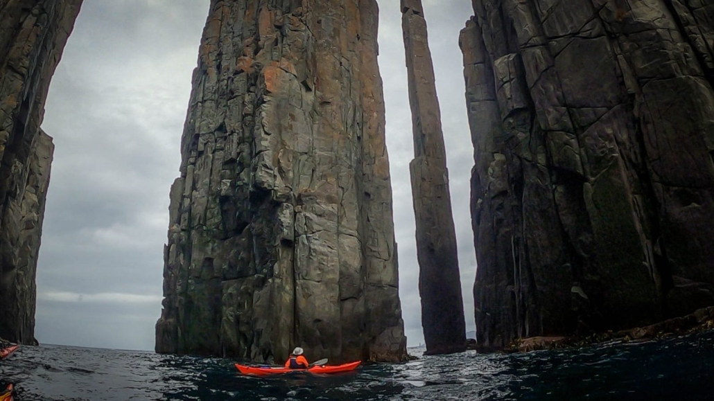
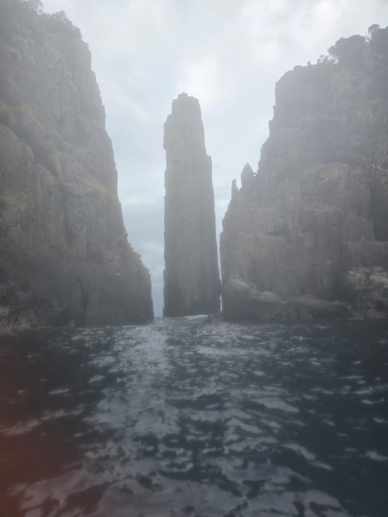
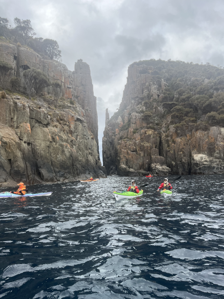
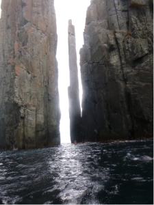 Our first day paddling from Fortescue Bay was out to Cape Hauy. There, we admired the dolerite columns called the Totem Pole and the Candle Stick. We had protection from the southerly wind as we skirted along the rocky cliffs and enjoyed the swell crashing in and the rebound waves. There was a sea eagle spotted perched on the cliff and it didn’t seem worried by our proximity. Within the protected area beside the Totem Pole and Candle Stick there were lots of seals that swam around our kayaks. Venturing further out on the exposed side of Cape Hauy the wind was quite strong and had generated waves which broke over the bow of kayaks almost to the cockpit. The group split; with some paddling around the outer islands, called The Lanterns, while others stayed on the sheltered side and paddled the northern side of these islands.
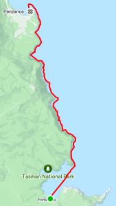
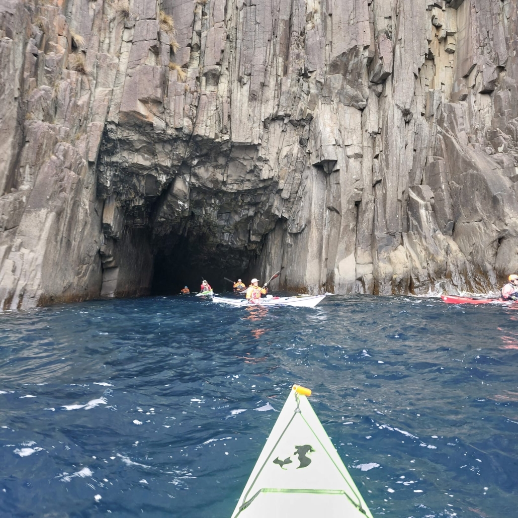
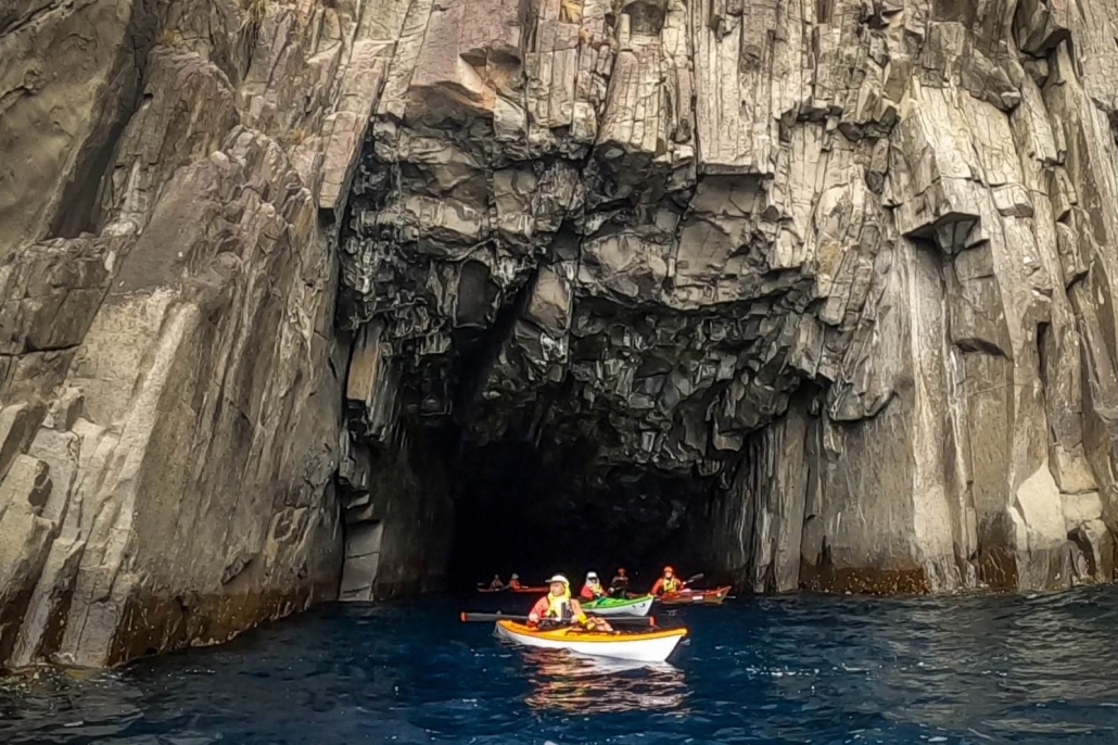
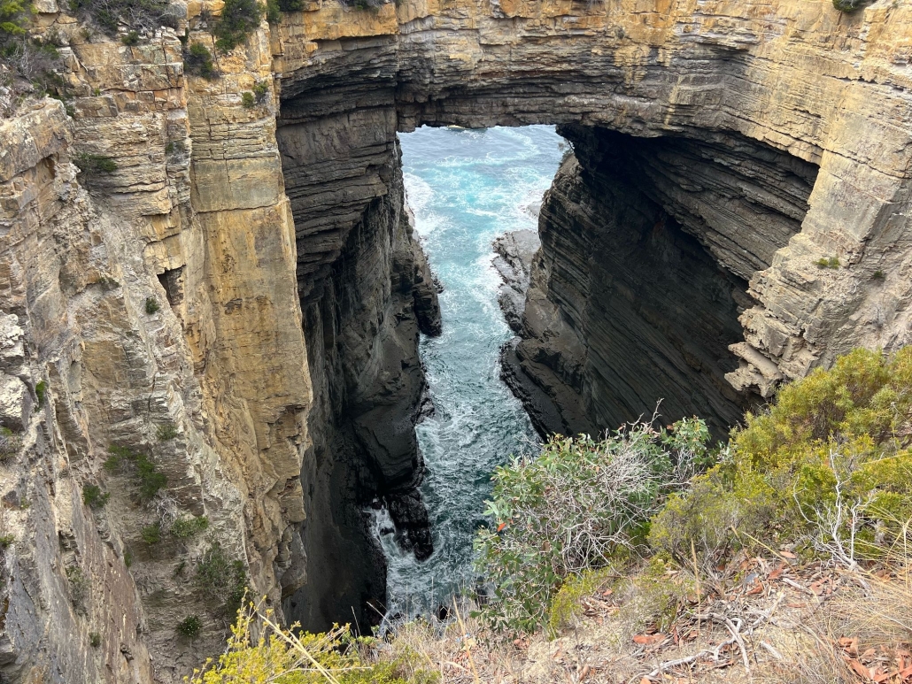
 This day’s paddle was to the north from Fortescue Bay past the Devils Kitchen, Tasman Arch and the Blow Hole then into Pirates Bay finishing at the boat ramp. Because this was a one way paddle we organised a car shuttle to have a few cars at the landing spot.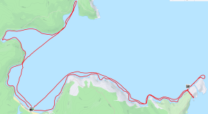

 We set up tents at the caravan park Monday evening. The fun started the next day with the traditional swim down the moving water, getting used to white water and practicing our throw-bag techniques. It became apparent that some of us indeed needed practice; others were spot-on with their throws.
 The next day saw us resuming play around the pumpkins; interrupted by a lightning storm. After lunch we packed boats onto the cars and took them to a launch point just below the dam. We paddled down the river, stopping to play on small waves and to harvest ripe blackberries.
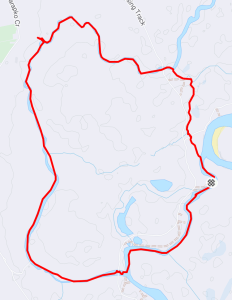
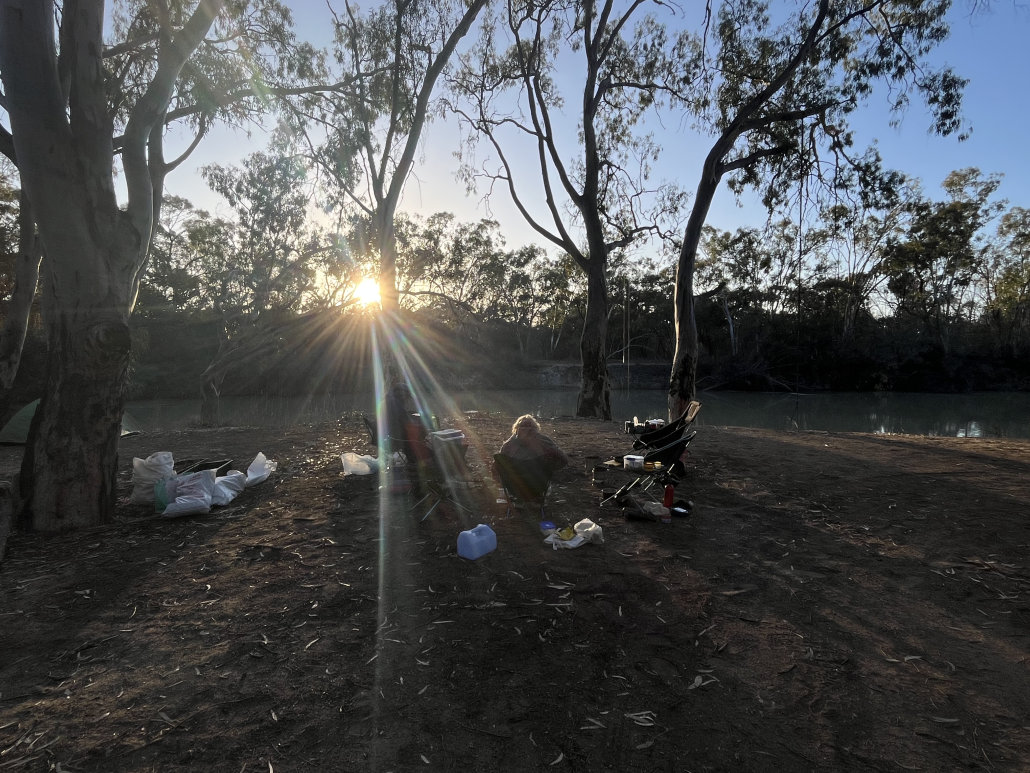
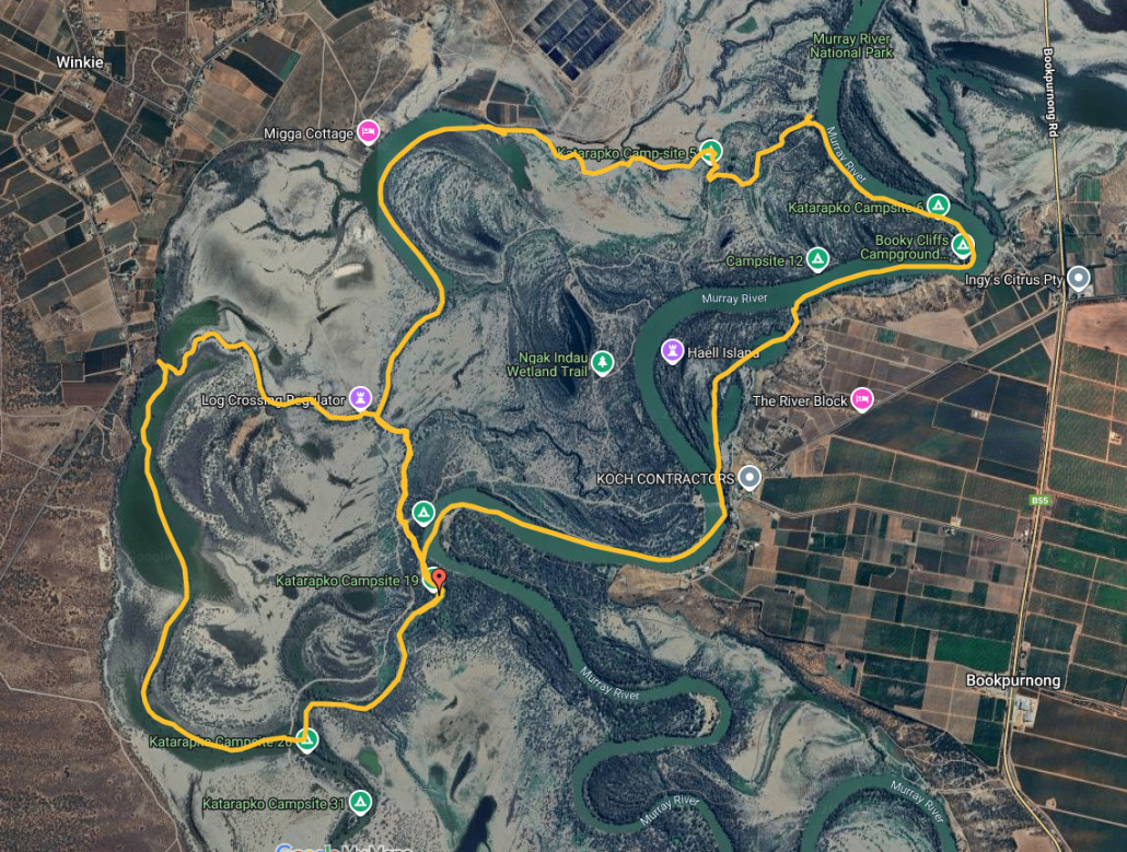
 That afternoon we had a short paddle down Katarapto Creek to check out the regulator at the bottom of The Splash, which, to our alarm, was closed. This would mean a nasty portage in the coming days. We all retreated back to the campsite to discuss options around the campfire with a glass of wine.
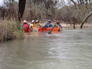
 After a much dragging of kayaks over, under and around logs, we eventually got to clear water where the creek widened out into a horseshoe lake, which abounded with pelicans and other birds.
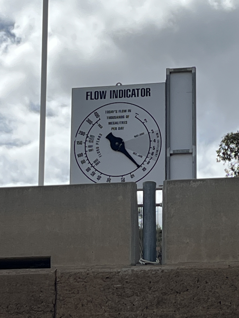
 Sunday morning we headed off in the other direction, down Katarapko creek. Everyone had fun running the short white-water section over the weir, and we let the current take us down to the massive regulator at the end of The Splash. This is normally open to paddle through, but the Parks Board had closed it off to create an artificial flooding event upstream. This meant a strenuous portage over the weir, luckily everyone was still fresh and the kayaks were unladen. The regulators are good for the river, but I wish they would consider the kayakers and give us some good access points.