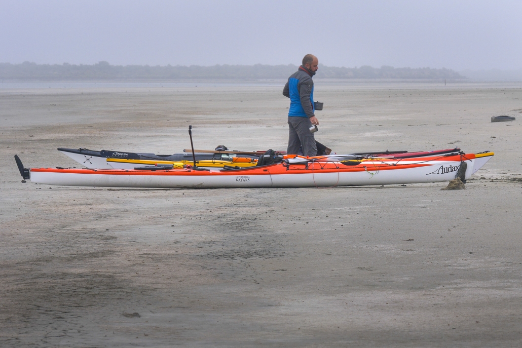
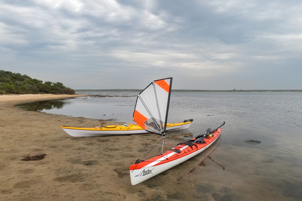
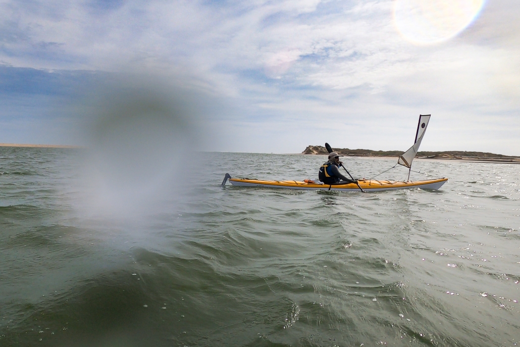
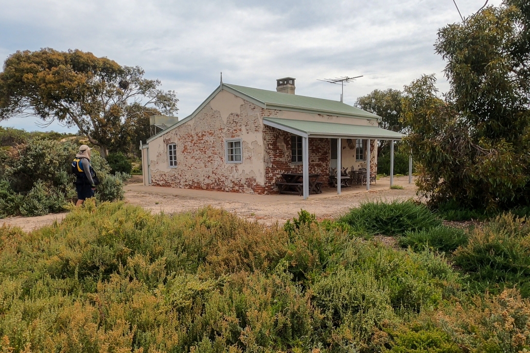
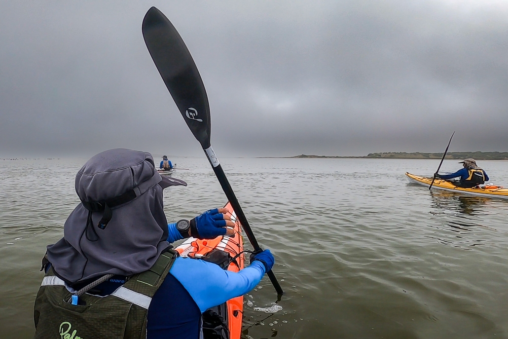
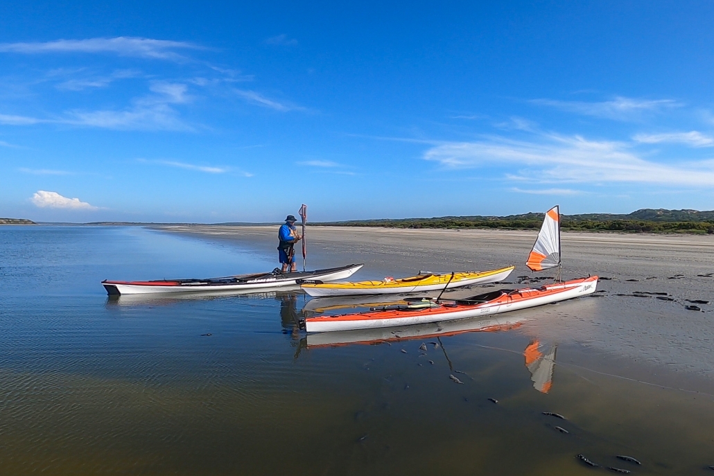
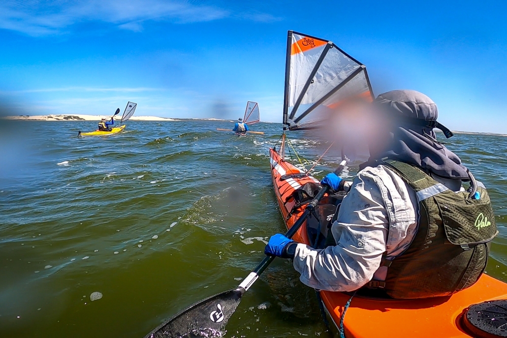
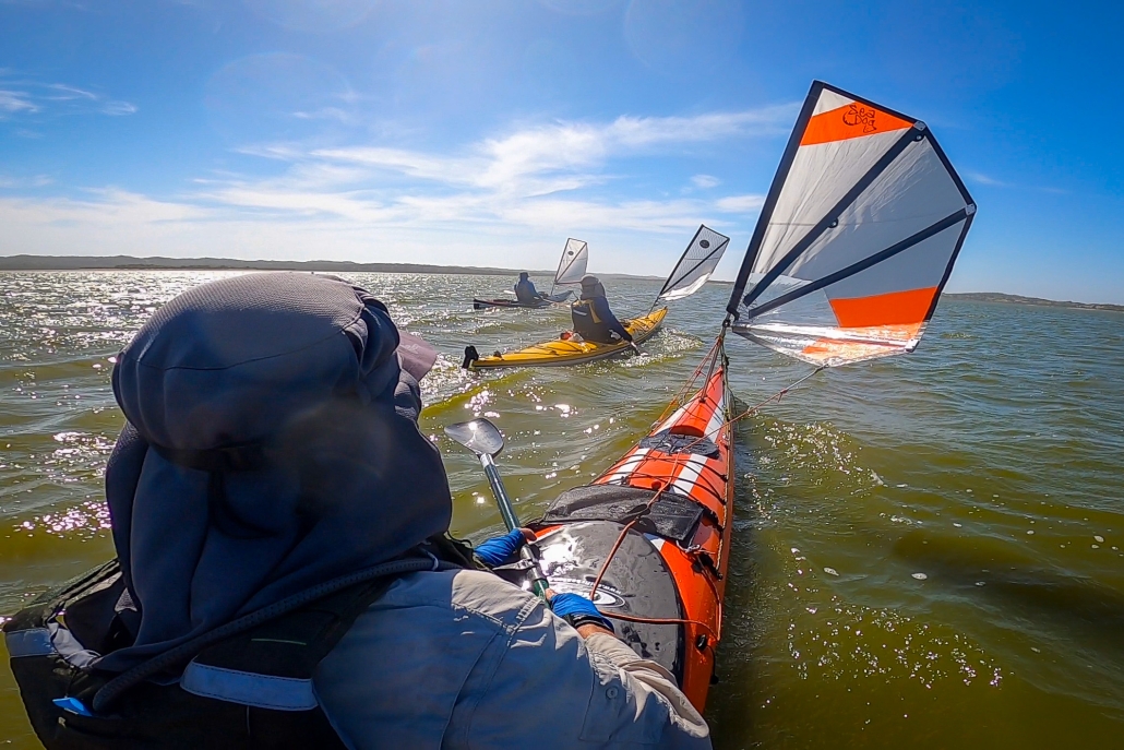
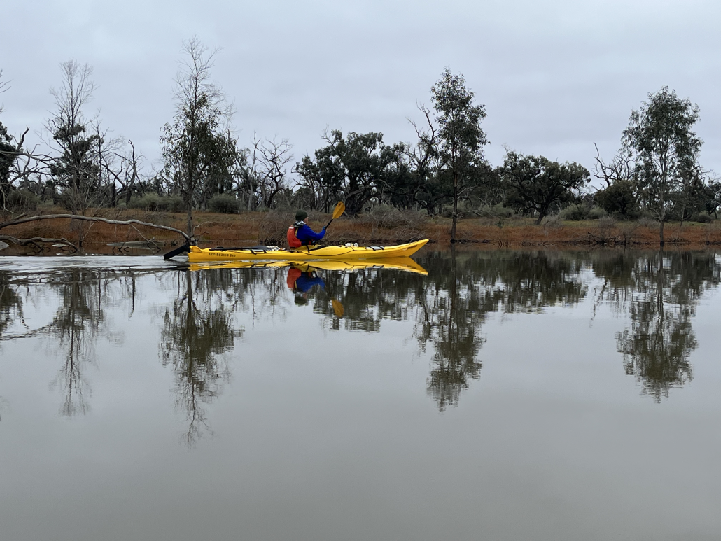
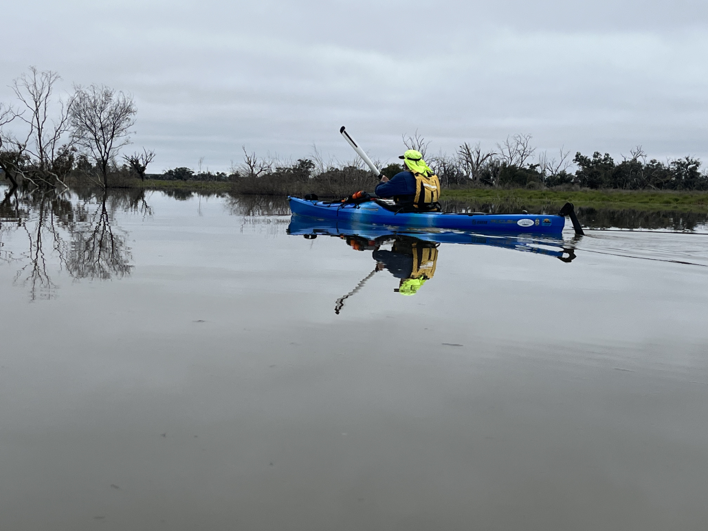
Katarapko / Eckert Creek / The Splash – 18 – 20 October 2024

Trouble to get there

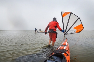
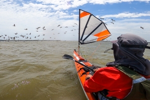
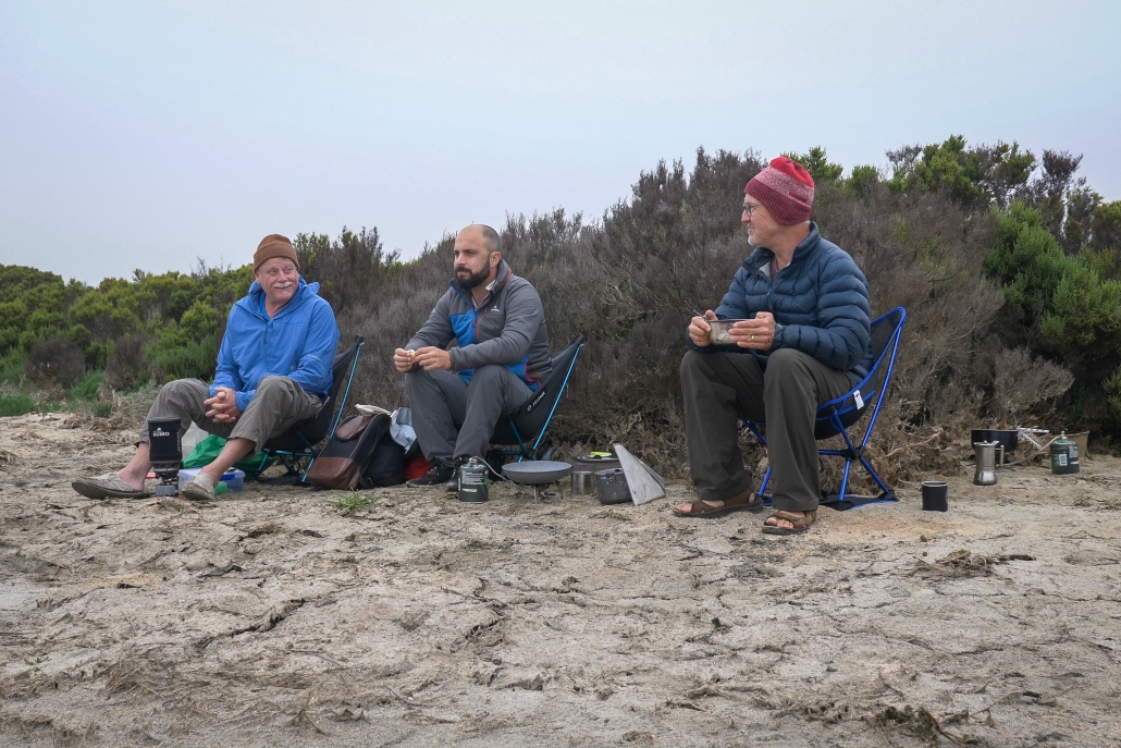
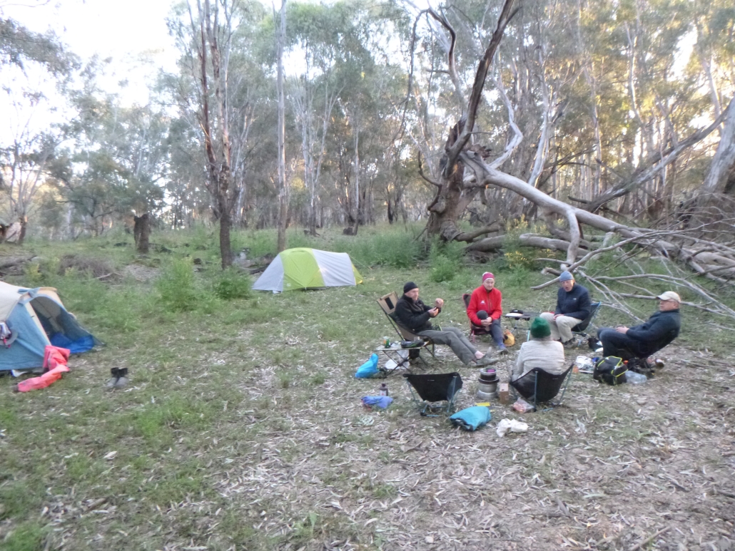
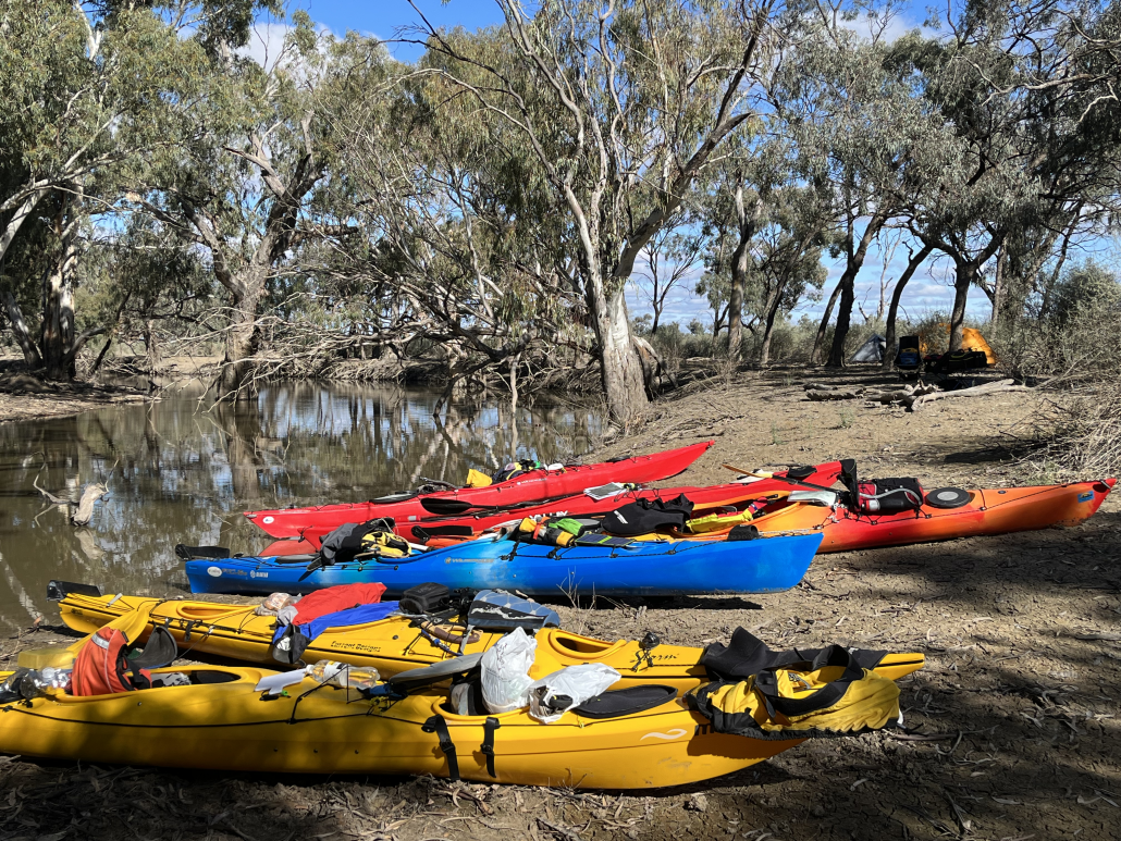
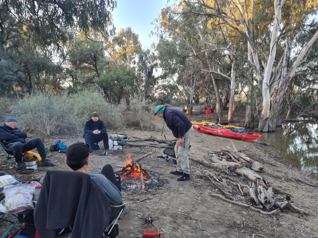
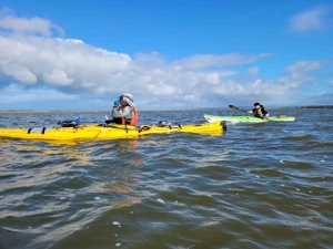
Eleven paddlers headed off to the Riverland for a 3 day / 2 night relaxing car-camping exploration of the creeks around Katarapko. Berny arrived there first, but found the access road blocked due to flooding. After a frantic phone call with the Parks Board, a different route was recommended, which was quickly passed on the rest of the group, which was still on the way. Everybody eventually got to the campsite by assorted routes, and we set up camp and had a relaxing lunch

Paddle in the arvo

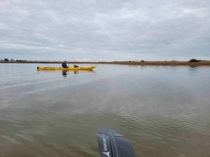
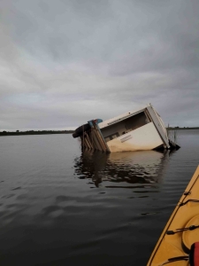
That afternoon we had a short paddle down Katarapto Creek to check out the regulator at the bottom of The Splash, which, to our alarm, was closed. This would mean a nasty portage in the coming days. We all retreated back to the campsite to discuss options around the campfire with a glass of wine.

Saturday

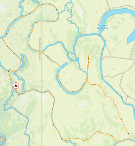
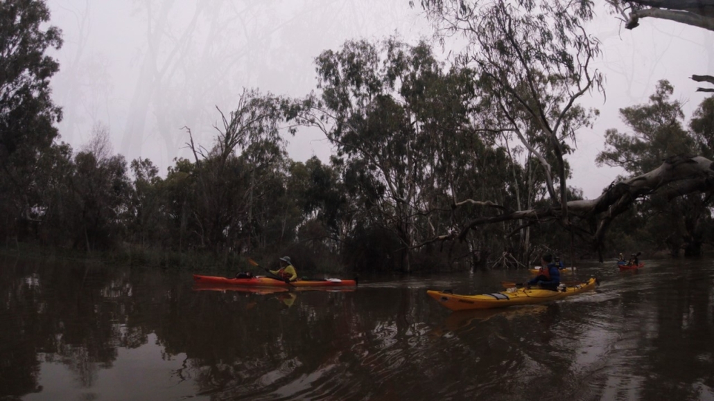
Saturday morning everybody was keen and on the water before 9.30. We paddled up the Murray to Lock 4, where we rounded up the lock master to let us through. After that we took a scenic shortcut via the Ajax-Achilles Lakes to avoid the current in the main channel of the Murray, and then continued up to the entrance to Eckert Creek where we portaged easily over the regulator and had a morning break. It was then an easy paddle with the current all the way down Eckert Creek, until we got to a ‘T’ junction. The recommended route was to the left, the right hand route was marked ‘Beware strong currents’, naturally we took the right one! All went well till the first corner, when we encountered the first of many fallen trees blocking the channel.

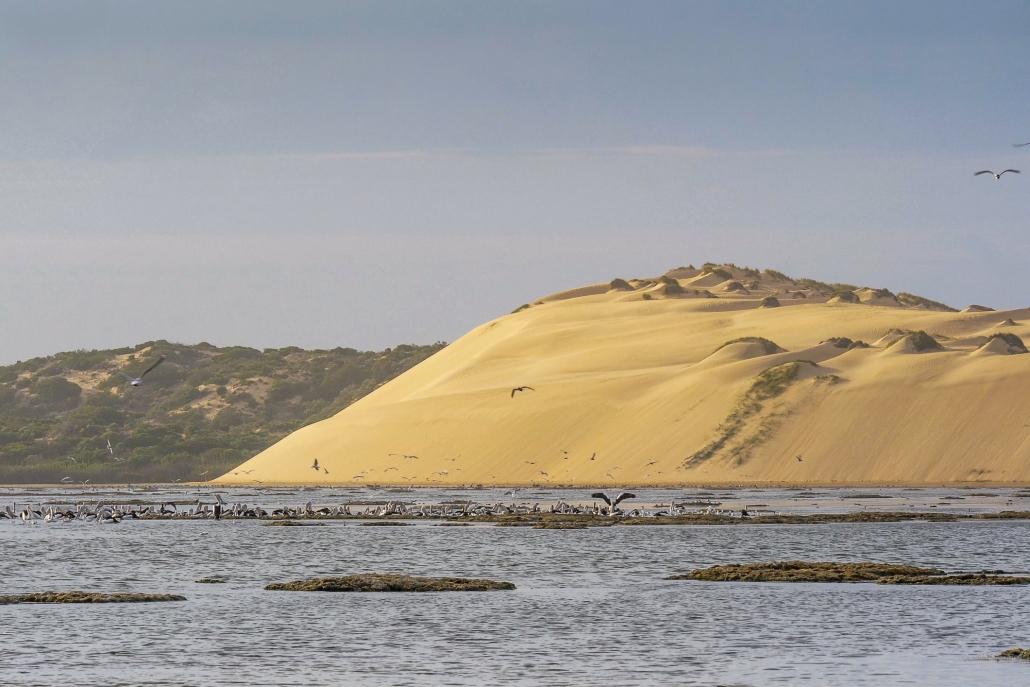
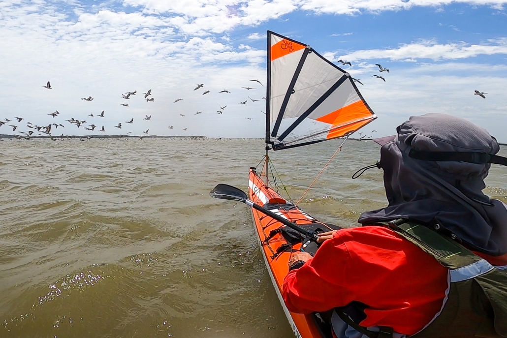
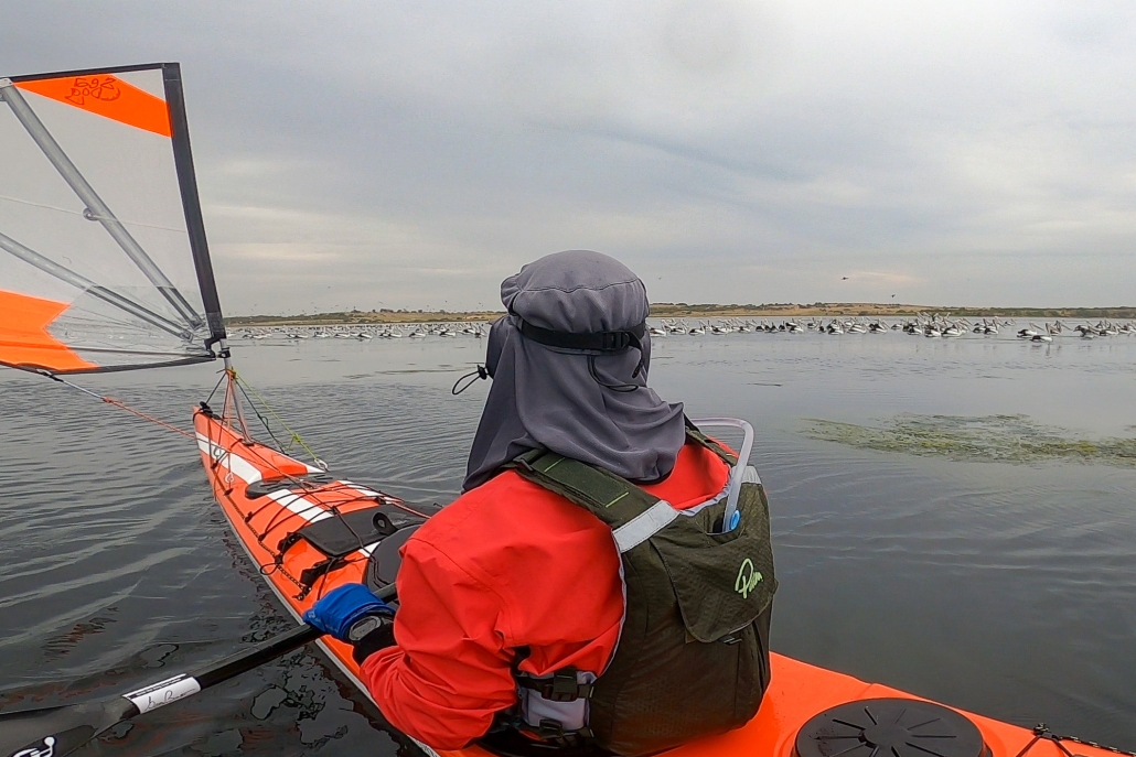
After a much dragging of kayaks over, under and around logs, we eventually got to clear water where the creek widened out into a horseshoe lake, which abounded with pelicans and other birds.

We meandered downstream, enjoying the wildlife, until we got to the entrance to Sawmill creek, which was our shortcut back to the Murray and our camp. After an easy paddle down the creek, one short portage, and one last limbo under a fallen log, we arrived back at camp.

Sunday

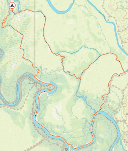
Sunday morning we headed off in the other direction, down Katarapko creek. Everyone had fun running the short white-water section over the weir, and we let the current take us down to the massive regulator at the end of The Splash. This is normally open to paddle through, but the Parks Board had closed it off to create an artificial flooding event upstream.  This meant a strenuous portage over the weir, luckily everyone was still fresh and the kayaks were unladen. The regulators are good for the river, but I wish they would consider the kayakers and give us some good access points.

On the positive side the creek on the other side was spectacular, with the water overflowing the creek banks and spreading out onto the flood plain. We paddled leisurely upstream, following the tree line to try and stay with the creek, and not get lost in the many channels that branched off.

Waikerie Bakery

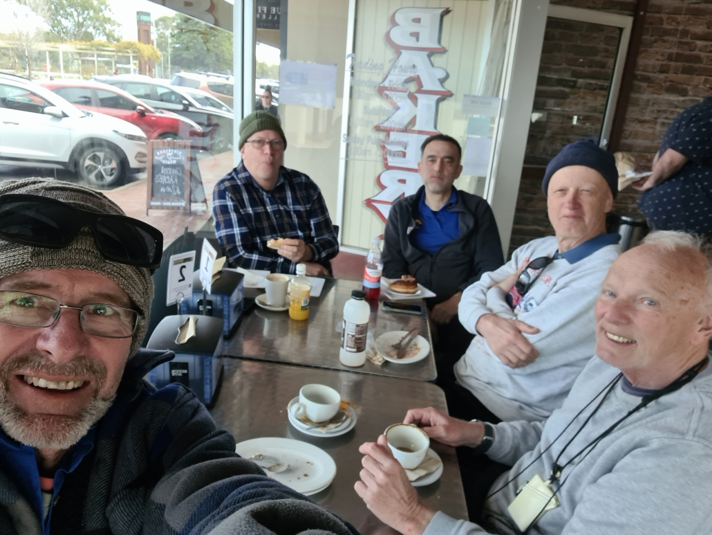
We eventually got to the road bridge near the entrance to Sawmill creek which, due the flooding event, was too low to get under, although some of us did try. Most people portaged over and then headed back down Sawmill creek back to camp at about 1 PM. After loading kayaks and packing up, we headed off to the Waikerie Bakery for a well-deserved pie and coffee.

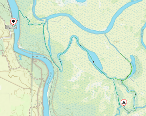
Overall statistics (Links point to GPX track files)

Rolling at West Lakes 21 April 2024

Michael, Pavel, Terry and Warwick joined Anne for some rolling and rescue training at West Lakes. After some introductory exercises to limber up on the grass we took to the water armed with paddle floats and lots of courage. Starting in the small white-water kayak it wasn’t long before the paddle floats were removed and a real roll was happening. Then the challenge – repeating the roll in their larger sea kayaks.

At the end of the session there were some very happy paddlers.


Sunset in Lindsay River

Circumnavigation of Lindsay River, Murray-Sunset National Park, 29-31 March 2024

Preparations and launch

After last year’s Lindsay Island trip was aborted due to flooding, we decided to have another attempt. We wanted to see what damage the floods had done. An early start on Easter Friday went better than expected. The traffic was quiet, and we made good time to the meeting point at the entrance to the park on the Old Mail Road. We all then drove up to the regulator at the mouth of the Mullaroo Creek. The plan was to start and finish the trip from there. After inspecting the site, and finding the launching spot was more difficult than we remembered, we came up with an alternative plan. We decided to leave one car there for the finish, and do a short car shuttle to just past the Lock 7. This allowed us to avoid a tricky launch, cutting out a boring bit of the Murray, and not having to worry about lock operators lunch hours.

We cruised down the Murray with the current, and got to the first campsite after 15 kms, just inside Toupnein Creek where it was calm and peaceful away from all the holidaymakers on the Murray thanks to all the snags and fallen trees in the creek.

Second Day

Kayaking LimboNext day we carried on down Toupnein Creek, enjoying the peace and serenity, until it joined the Murray again. Helped by the current again, we sped down the Murray to the exit of the Lindsay River. The day turned out longer than planned. As we bypassed the previous trips campsite to look for a better one, which didn’t turn up for another 6 kms, by which time everyone was more than ready to stop. Total distance for the day was 31 kms.

Checking the weather report the next day, we were glad to be ahead of schedule, as the forecast for the final day had turned from ‘10% chance of 1mm rain’ to ‘70% chance of 15mm rain and storms’. We had been caught in the rain in this area before, and the roads turn from well-formed dirt roads into slippery, sticky clay-filled mud traps in no time at all.

Third (and last) Day

Negotiating Mullaroo CreekAfter some discussion over breakfast it was decided to push on and try and finish a day early. The creeks had other ideas. As the closer we got to the end, the narrower and more snag-filled the creeks became. Progress slowed as we pushed under, over and sometimes through the fallen trees. The floods had obviously pushed a lot more wood into the creeks.

Finally reached the end in the late afternoon after a difficult 30km paddle. Quickly retrieved all the cars left by the launching spot, loaded up, and left while the roads were still nice and dry. After a long day of paddling, and being late, most people opted to stay the night rather than drive back to Adelaide. We retired to the Paringa Hotel for refreshments and food, making it there about 30seconds before the kitchen closed!

After that we retired to a nearby free-camping area, set up the tents and chairs. We spent another hour debriefing and re-hydrating before retiring to bed where I slept very well. Next day was a relaxing drive back to Adelaide, checking on the weather reports. Turned out the rain was much less than forecast, and came in later. Oh well, better to be safe than sorry!

Overall statistics (Links point to GPX track files)

Sailing the Coorong from Salt Creek to Murray Mouth — 2-5th January 2024

Embarking on a memorable expedition, our team, comprised of Phil Doddridge, Greg Adams, and Matthew Eldred, set sail from Salt Creek around 11 am on Tuesday, January 2nd. The wind, as predicted, gained strength, facilitating a smooth 37 km paddle under sail to our initial campsite near Parnka Point, surrounded by mud. Notably, the Coorong’s water level was unexpectedly low. It was hovering around a meter below its optimal height. A recurring theme throughout the journey.

Through the mist

Day 2 dawned with a mysterious sea mist, casting an eerie atmosphere over our paddle. We also had a slower-than-anticipated southwest wind. Navigating westward through islands, coral reefs, and challenging sand flats, exacerbated by the low water level, proved a test of our resolve. The silver lining was the influx of birdlife drawn to the flats, offering a unique opportunity to appreciate nature.

Overcoming the hazards, including negotiating the needles and coral blockage we suffered minor skin abrasions but we considered it the small price of admission. Beyond this obstacle, the remainder of the journey to the Coorong cabins, where Phil’s car awaited, became a smooth paddle into the mist.

Day 3 greeted us with lifted fog and a return of southeast winds at 10-15 knots. Despite persistent low water levels and expansive sand flats, the familiar sights of the Coorong’s freshwater soaks, rolling sand dunes, and aqua-colored waters made it a classic experience. A change of plans at Tauwitchere barrage lock. The low water and high winds made crossing into lake Alexandrina not appealing.

Murray Mouth

Opting for the Murray Mouth as our finishing point allowed us to capitalize on favorable winds. We completed the 110 km paddle from Salt Creek.

Throughout the trip, our backyard revealed hidden gems from enchanting campsites and islands to diverse wildlife and concealed shacks. The journey was a tapestry of discovery, weaving together the beauty of our surroundings and the thrill of exploration.

Murrumbidgee River; Darlington Point to Hay – Sunday 22 to Friday 27 Oct 2023

The group

The Murrumbidgee River from Darlington Point to Hay is fantastic. The serpentine river ‘keeps you on your toes’ changing from peacefully calm, to requiring maneuvers past snaggy fallen trees and submerged logs. It provides stunning scenery, lots of wildlife including kangaroos and many different birds. The banks are covered with trees and there are beautiful campsites – what more could you want from a paddle?

Setting out

Bogged

Charlie and Marina Walker, Berny Lohmann and Peter Drewry joined Simon and Anne Langsford for the 230km paddle from Darlington Point to Hay. We set off in perfect weather with the river running at about 2.5m depth and the flow pushing us along at an extra 2km/h. Being a weekend there were many other people out enjoying the river, camping and fishing. We came across a couple of blokes that had well and truly bogged their car trying to launch their fishing boat. We stopped to lend some assistance and our colourful kayaks helped their friend locate the bogged car. The car wasn’t the only thing we saw stuck. We passed a canoe and a sit-on-top kayak both very wedged in fallen trees. Charlie thought about rescuing them but decided towing them all the way to Hay would be too difficult.

Wildlife along the river

Kerarbury homestead

There were lots of birds. Most notable were the flocks on Rufous Night Herons that appeared from the dense foliage of willows and other introduced trees. There were also many White Faced Herons and a few Pacific Herons spotted. Of course there were lots of Cormorants swimming, catching fish or resting on the fallen trees along the river. This year we also saw many Yellow Billed Spoonbills and a very large flock of Black Shouldered Kites. Our days started with Kookaburras laughing at the sunrise followed by a huge variety of birds calling the morning in. Whenever we stopped there were Swallows darting around and occasionally we spotted Kingfishers.

Finding Kerarbury homestead

Portage with Charlie

Peter was on a quest to find Kerarbury homestead. His wife’s grandfather had worked there as a wool classer. He asked around Darlington Point but no one could help locate it until we met a local at the Punt hotel when we went there for dinner before starting our paddle. Now with the knowledge that it was either 15, or 50km down river we set off hopeful of locating it. On the second morning’s paddle we rounded a bend to see the magnificent homestead. We stopped and chatted with the owner so Peter could verify it was Kerarbury. Then it turned out that the current owner was also related to Peter’s wife. It is a small world!

Twists, turns, mud, wind and other fun

By road the distance between Darlington Point and Hay is about 115km; by river it is about 230km. The river twists and turns often and the recent floods have provided some short cuts. Berny enjoyed the fast flowing water through some of these short cuts. However, we did need a portage in one which had a tree right across the water. Further down the same ‘shortcut’ Charlie had to get into the water to push our kayaks over an offending log.

Peter and shoes

In places the floods had washed away parts of the bank exposing the intricate tangle of tree roots.

There were a couple of very windy days, over 20 knots, but the trees on each bank protected us most of the time. We had short spells of paddling into the headwind, but soon turned another bend and enjoyed a tailwind along the next stretch. Berny’s kayak was particularly stable in the short choppy waves whipped up when wind and current were in opposite directions.

There are lots of trees in the river, creating snags, so you can’t just watch the scenery or relax too much. Even though the front paddlers kept a look-out there were snags that either caught someone momentarily. This year the water level was dropping as we paddled down, leaving the once sandy beaches covered in mud. Peter found a particularly deep patch and had to hunt for his shoes which the mud had sucked off his feet. The retrieved shoes and Peter needed a good wash before joining us again.

Personal best records

Camp 5

This paddle saw ‘personal best’ records shattered. Peter did a PB for distance 3 days in a row and Marina achieved the furthest she had paddled for a trip on day 4 with 164km completed. She then paddled another couple of days to reach a new record, 230km. This section of the Murrumbidgee is a very looooong paddle but we all agreed it was an addictive section, ever changing with another beautiful spot around each of the many, many bends.


Image below links to the GPX file

Trip Map

St. Kilda weekender with overnight stay in Community Hall — Sat 9-10 September 2023

St Kilda Weekend History

Another great weekender out to St. Kilda was conducted on Saturday 9th and Sunday 10th September. Weather, wind and tidal conditions were perfect for the ten club members who participated.

The St. Kilda weekender has been a feature of the ACC calendar for over ten years now. It is an easy trip requiring paddlers to carry minimal equipment. We stay in the St. Kilda Community Hall overnight and go to the pub for dinner and drinks.

It’s All About the Tides

The devil is in the detail of planning however and the critical elements lie in getting the tides just right. The trip takes in most of the Port River estuary which is highly tidal. On the wrong day the currents can be severe and in places the water just disappears at low tide.

I have used the tide in a couple of ways for this trip over the years. This time around I used the dodge tide to minimise the impact of tidal currents and extremely low water levels. A dodge tide is a phenomenon almost unique to Gulf St. Vincent and Spencer Gulf. It also occurs in the Persian Gulf and the Gulf Of Mexico. A dodge tide is where the water levels change minimally over a 24 to 48 hour period; it is if the tides miss a day! Last weekend we had a 15 hr tide on Sunday resulting in negligible current and change in water levels. The water level did not go below 1.2m during daylight hours which is most important when planning to explore the mangrove creeks of the Barker Inlet and the Section Bank at Outer Harbor.

I have also used spring tides (nothing to do with the seasons!) to create a fun “ride the tide” experience. On this type of tide we begin at Largs Bay and travel into the Outer Harbor Channel where the rapid inflow of water to the Port River due to the rising tide is quite amazing! With just an easy paddling effort you can achieve 10 or more kilometres per hour.

Departure from UniSA Kayak Shed

Departure from Uni SA Kayak Sheds

Thus trip’s group including Mark L, Abelardo, Terry, Greg, Anthony, Bella, Charlie, Marina, Giresh and myself. We assembled at the UniSA kayak shed near Adelaide Marina on the main arm of the Port River to launch for the 16Km paddle out to St. Kilda. This is the first time we launched from here and it was most convenient as we could leave our vehicles locked up securely in the compound. We planned to finish the trip here as well. Big thanks to club member Dr. Scott Polley, who is a senior lecturer at UniSA for granting access.

North Arm and Ships Graveyard

Paddling Amoungst Ship’s Graveyard (2)

The journey out to St. Kilda was via The North Arm and Barker Inlet which is such a stunning and little known part of Adelaide. Travelling up the North Arm we observed the maritime relics left abandoned in the “Ships Graveyard”  early last century. The remains of vessels such as the Glaucus, Garthneil and Seminole give an insight into early shipping in South Australia. You may find more information about this unique section of the River. 

Barker Inlet and Swan Alley

Even more captivating was the exploration of the mangrove creeks of the Barker Inlet. When paddling through the maze of creeks flowing off the “mainland” you get the feeling that you’re far from civilization. It’s a stunning, waterlogged forest. Exploring comes with a warning! You have to know the impact of the tides. Get it wrong and you can encounter fast flowing water that can wash you under low tree branches resulting in capsize and a heap of real issues. At the other end of the spectrum you can run out of water…the creeks go dry at low tide heights. The creeks are best paddled on a dodge tide with a water level of at least 1m which is what we had!

Exiting Swan Alley

Our journey entered the system via Swan Alley. We then took the Embankment Channel which is artificial and links  Burrows Creek, Post Creek and Garnets Creek. Due to the tide height there wasn’t much dry land for lunch. We exited Burrows Creek to find a small sand island to haul out on before returning to the mangroves and continuing down the channel.

Arrival at St Kilda and Community Hall

On exiting the mangroves the next target was the St Kilda Channel and down to the St. Kilda Boat Club to store kayaks overnight and walk to the Community Hall. The pub meal was a little disappointing for some…. squid snitty not up to the usual standard!

Return via Bird Island and Outer Harbor

Sunday began with even better weather for our journey out to Bird Island and the Outer Harbor breakwater. Bird Island is a sand spit that has been increasing in size since I have been visiting the area. I first remember it some 20 years ago as a couple of hundred metre strip of sand running northward from the breakwater without much vegetation but plenty of bird life. It is now a couple of kilometres long and well covered with vegetation and trees. It is an important bird breeding area and one of the few location in Adelaide that Pelicans raise their young. The sand flats to the NW of the breakwater are stunning. It is easy to imagine you’re in the Bahamas!

There were also plenty of long nosed fur seals on the breakwater. Several young ones swam some distance with us and may have never seen a kayaker before.

St Kilda Dusk

The group had a slight incoming tidal current to push us the final few kilometres back to the shed. On the way we got to see one of the Naval ships under construction and were warned by Mark to stay out of the “Restricted Zone”; no saboteurs allowed!

When back to the shed it was a quick clean up of gear on the nice lawned area of the UniSA compound. A great weekend had by all!


Overall statistics (Links point to GPX track files)


Peer Paddle at Blanchetown exploring Cumbunga Creek and Julia Island in the Riverland – 2 Sep 2023

Preparations

Our WhatsApp initiative is working well! Berny Lohmann suggested a Peer Paddle at Blanchetown exploring Cumbunga Creek and Julia Island on Saturday 2nd September 2023. The forecast was looking great with temperature in low twenties, sunny sky and good river flow.

Wasn’t long before Rob and Robyn Phiddian had expressed interest and as we are looking for more members to put hands up to lead Peer Paddles. I thought this would be a great opportunity to support Berny, at least by offering to drive him to Blanchetown. Berny had reported good flow there so I was keen to experience the conditions (having missed out on the flooding event in 2022).

Launching and Cumbunga Creek

We met at the carpark opposite the Caravan Park (which is still not operational following flooding) at 10 am by Paisley Riverfront Reserve, north of the bridge. Parking was nice and easy with grassy beach for launching our kayaks. After Berny’s well prepared safety briefing we launched at 10.30am and headed across the river. There was a noticeable eddyline so we angled our way upstream to accommodate the obvious flow – probably about 2 to 3 knots. After surviving the crossing without mishap we navigated our way through the numerous dead gumtrees and logs and into Cumbunga Creek.  When I bumped over a submerged log I thought maybe I should have brought my plastic kayak!  We were soon being welcomed by screeching Sulphur-Crested Cockatoos as we followed the Creek and headed north. The flow was still obvious, but nothing like mid river channel.

This section of the Creek is very open and must have been the main channel in time past! Paddling was easy with lots of Pelicans flying overhead and Cockatoos sticking their heads out of tree hollows to see who was paddling through their stretch of the river.

Roonka Conservation Park

It wasn’t long before we reached Roonka Conservation Park where the channel narrowed considerably and we had a first sighting of old homestead ruins from a bygone era.

The Cockatoos were soon replaced by Parrots emerging from hollows. The discussion soon turned towards whether they were Regent Parrots or Superb Parrots. Peter Vincent, where were you when we needed identification?

Berny, Rob and Robyn had paddled here previously so there was no problem finding the correct channel as we moved further north towards Reedy Island and Julia Island. Berny successfully led the way through the narrow channel at the northern extremity of Roonka Conservation Park and into the main river channel.  From there we headed downstream and into the channel east of Julia Island and past the Bedrock Waterski Club on the SE end of Julia Island. Judging by the ski jump and two observation towers, this area may get busy during the summer months. Thankfully this time we had the river to ourselves.

Tummies were staring to rumble by now. We went up to the northern extremity requiring a short portage across the small service bridge leading to Julia Island. After moving the kayaks to an easy launch site leading to the main river channel we unpacked lunch just below the old homestead off Murbko Road.

Lunch

We spent lunch soaking up the scenery and looking at the timber wedged in nearby trees. It was very helpful to gauge the river height during the 2022 flooding. Lunch was followed by a very relaxing paddle downstream in the main channel. We made our way along the western side of Julia Island, passing Roonka River Adventure Park and back towards the stunning cliffs below Murbko Road.

We paddled close into the cliffs and mostly had the river to ourselves aside from the occasional houseboat. The scenery was stunning with several sedimentary layers showing in the cliff.  We noticed more Whistling Kites and Cormorants along this section of the river, with the Kites nesting in stick nests high in the eucalypts while the Cormorants favoured the willows allowing easy access to the water. We encountered several nests in the willows with baby cormorants well camouflaged by the dying branches and leaves. The chicks were still covered by white down and not making any movement as we paddled by.

Just before arriving back at the launch beach we spotted a dead gum with several river height markers – 2022 at the top of the tree. One can only imagine what the river flow would have been like!

Packing and heading back

Arrived back at start at 3pm after a very enjoyable 17.5km paddle. With a short lunch break, overall time was 5 hours on a perfect day. Checking my GPS, top speed of 11km/h for an 80m section about 2km before reaching our launch point gives an appreciation of river flow.

This was my first time paddling at Blanchetown and I highly recommend this trip exploring Cumbunga Creek and Julia Island. A very easy 2-hour drive from Adelaide with a coffee and pie stop at Truro Bakery (a must visit if you haven’t already stopped there). Berny managed the trip very well and I appreciate his assistance with Peer Paddles.

After loading our kayaks and before heading of back to Adelaide, Robyn spoilt us with tea and cakes while we talked about the trip. Keep an eye on the calendar and the next river paddle.

Overall statistic (Links point to GPX Track Files)

Morning in Chowilla

Four days exploring the creeks in the Chowilla reserve, in the Riverland — 19-22 Aug 2023

From Plan A to Plan B

Enjoying the calmness of ChowillaThe original trip was planned to traverse the Lindsay River. But the high river levels put paid to that, as the whole Lindsay Island was closed to the public. Making the best of a bad situation, we changed the trip to the Chowilla area, where high water levels open up a lot of normally dry creeks.

We launched at midday on Saturday and crossed the Murray to find the entrance to Suders creek, which is the entrance to backwater area. This is normally a challenge, with the entrance to the creek being narrow and fast flowing, but this time the levels were high and the current very manageable, and we were soon through to Hypurna creek, which we followed up for a few kilometers before setting up a base camp where we would stay for the next three nights.

Setting camp for the trip

After setting up camp and relaxing for a bit, we went off for an afternoon paddle to check out if the short-cut through to Salt Creek was open, as we planned to take that route the next day. Luckily the normally dry creek was easily navigable so we didn’t have to change our plans. We then retired back to camp to start dinner and sit around the campfire solving important world issues.

Day 2

Next day was an early start as we didn’t have pack up the camp. We were soon paddling through wide creeks and flooded trees through to Salt Creek.  We followed it upstream for about 8km to a horseshoe lagoon which we normally bypass. Encouraged by the high water levels we decided to explore it. We were rewarded with yet another new creek which took us back to Salt Creek, cutting 4kms off our trip.

After a few hundred meters on Salt Creek we found an unmarked creek which was flowing in the right direction. We decided to throw caution to the wind and set off down it into the unknown. Flowing water is always a good sign as it has to go somewhere. We were pleasantly surprised to find ourselves ending up in Hypurna Creek, which is where we were planning on going. After a gentle 5km paddle downstream we ended up back at camp. We were soon relaxing around the campfire discussing the next day’s paddle.

Day 3

Lunch break before paddling the MurrayNext morning, after a quick breakfast, we set off back up Hypurna Creek to do another circular loop in a different area. We passed the entrance to a shortcut to Wilperna Creek which had been planning on using, only to find that the water level was not quite high enough to make it passable. Disappointed, we carried on up to Salt Creek to have a mid-morning break and talk about our options. After a bit of discussion we decided to continue to the Murray, and follow that around to the entrance to Wilperna Creek.

Normally we try to avoid the main channel of the Murray, too big and too busy. But this time we found the river pretty much deserted. A relaxed paddle had us going down the river at 10 km/h. There was a lot of water in the river! At that pace we were soon through Higgins Cutting and did the 8kms to Wilpurna Creek with no trouble at all.

Wilpurna Creek is one of my favourite creeks, narrow and winding, with not too many obstacles. But it can be hard to find, as the entrance is small and is just downstream from the NSW border. Unfortunately the sign for the border is about ½ a kilometre away from the actual border, on the wrong side of the creek. Luckily my trusty GPS had the entrance marked with a waypoint. We practically floated down Wilperna Creek, around fallen trees, escorted by curious emus and seeing the occasionally kangaroo, and were soon back at camp again.

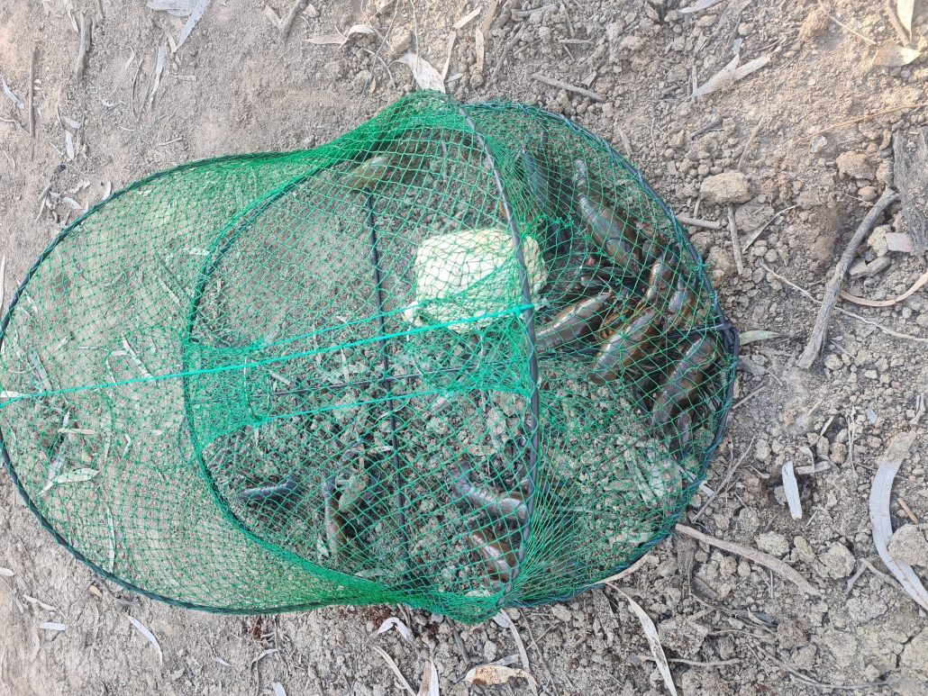
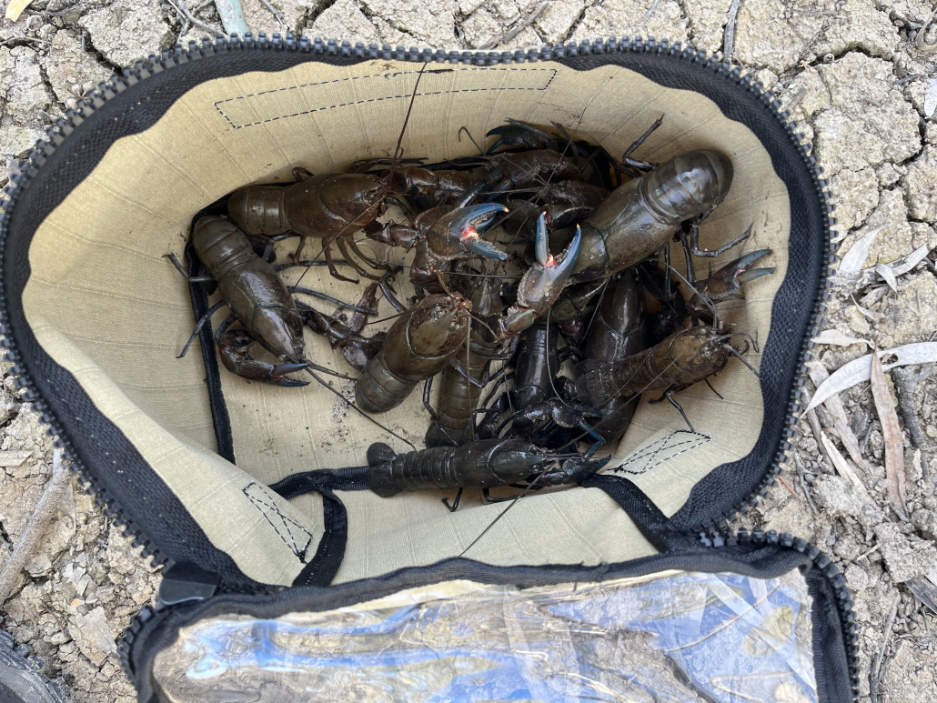
Chris had bought his yabbie nets along (I don’t know how he fits it all in his kayak), and had got lucky while we had been away. That night he treated all of us to some fresh yabbie meat snacks.

Day 4

Salt creek navigationOvernight our luck changed, and we had a bit of rain. Nothing heavy, but just enough to turn the ground into sticky mud, 10 steps were enough to add a few kilograms of the stuff to your shoes. After breakfast the camp was packed up quickly and carefully, trying to avoid most of the mud, and stopping occasionally to scrape the worst of off your shoes. Most of the gear went into the kayak reasonably cleanly, but the kayak cockpits ended up decidedly brown.

We paddled back down Hypurna Creek, aided by the current, paddling through trees which normally line the side of the creek. Some paddlers decided to do the portage back the Murray, while the rest decided to try paddling back up Suders. The portage point is well signposted, but we couldn’t find any of the signs, can only think that they must have been underwater. Kayaks were soon carried across to the Murray. The rest of the paddlers set of to try our luck going up Suders Creek. This proved to be an anti-climax, as it was an easy paddle back to the Murray and the cars.

We quickly threw  all the gear back in the cars, loaded the kayaks on the roof and put on some presentable clothes.  We then headed back to Renmark and the nearest bakery to indulge in a cup of hot coffee and some unhealthy treats before heading back to Adelaide, and a lot of washing of kayaks and gear.

Overall statistics (Links point to GPX track files)

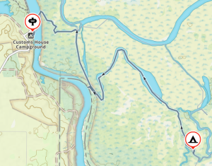
Saturday 19 August – Customs House to Campground, recce in the arvo – 11.95Km

Sunday 20 August – Salt Creek, Horseshoe Lagoon, Hypurna Creek – 24.1Km

Monday 21 August – Salt Creek, Wilpurna Creek, Murray River – 26.0Km

Tuesday 22 August – Campground, up Suders creek back to Customs House – 7.45Km

A weekend paddling Finniss River and Currency Creek — 10-11 June 2023

Day One

On Day 1, the paddlers packed their kayaks at Wally’s and were on the water by 9 am. They paddled 14 km to Clayton Bay where they stopped for lunch at 11:45 am. The winds were light from the north around 5 knots in the morning. After lunch, they skirted Hindmarsh Island before diving back northwest up Currency Creek. It wasn’t long before the old flour mill became their marker and point of interest. Once they made it to the flour mill, it was a quick paddle across to their campsite.

Tents were erected quickly to make time for the optional sunset paddle up Currency Creek to the main road bridge. The paddle up the creek is narrow only a few meters across, surrounded on both sides by tall reeds. They came across a portable cool room which had been washed down last winter.

Arriving back at camp, they were greeted by a fire prepared by Peter. With ample wood, the fire kept them warm while they told stories of camping sites past.


Day Two

On Day 2, there was not a breath of wind on the water. A slow start on the water by 9:30 am as it was hard to leave the fire and get into wet paddling gear. The paddle was easy as the predicted 8-knot crosswinds came late. There were no detours on the way back to the Finniss Channel. Once in the channel, they took the opportunity to explore some backwaters before finishing the trip.

Overall Statistics:

Day 1 35.2km

Day 2 21km

Total 56km

Parnka Point Car Camping – 6-7 May 2023

Arrival at Parnka Point – Pelican Campground

It’s been a while since Adelaide Canoe Club (ACC) has car-camped at Parnka Point, so I was keen to visit the area to experience the high water levels (after last visiting here with Matt Eldred in Oct 2021 when we sailed from Parnka Point to Goolwa). This location was a favourite of Eddie Andriessen so I was keen resurrect the Car Camping tradition.

With fingers crossed for some good Autumn weather, I had earlier booked Campsite No 1 at Pelican Campground, providing room for 14 campsites and semi-sheltered protection should the forecast wind and rain arrive. We had a good take-up with Peter McLeod, Mark Loram, Charlie and Marina Walker, Abelardo Pardo, Berny Lohmann and Terry Holder booking for the weekend. I was pretty excited about this trip, as National Parks had advised that there was plenty of water and prolific birdlife in the area, particularly pelicans and ducks.

We all arrived at various times during Friday afternoon and set up camp, keen to get settled before rain arrived. Hopefully not much following the downpour on the drive from Adelaide. Berny saved the day by bringing along his recently purchased gazebo – this made our stay nice and cosy. During our stay we checked out other campsites and agreed 5 and 7 also have potential, particularly when no wind is forecast and with easy access to the water.

Rain overnight which along with the sound of surf made for authentic autumn camping on the Coorong.  The forecast 17Kn SW had not appeared on Friday and we were presented with very calm conditions in the morning although an overcast day.

Paddling South Lagoon to Long Island

Bit of a slow start after casual breakfast, on water about 9.30am to meet Peter at the Boat Ramp in his plywood Sabre dinghy, Boat No 1461. Slight breeze from the SW had built up, enough for Peter to make headway and practice his tacking. It wasn’t long before the sea kayaks were leading the way down the south lagoon towards Long Island with Peter following.

The aim was to paddle south and explore the cutting at Hack Point and hopefully circumnavigate Cow and Long Island. Sunshine was occasionally breaking through so all looked promising.

We had a short stop at the derelict Coorong Wilderness Lodge. It is still in pretty good condition but could use a refurbishment. Stunning views of the South Lagoon.

We continued paddling south, trying our best to avoid the limestone “bommies” that seemed to pop up when least expected.
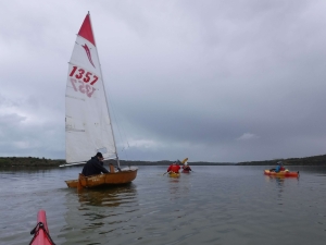
Peter under tow

It was not possible for Peter to stay with the kayaks so we agreed to meet up around Hack Point. The cutting just south was easily navigable so we continued further south along the eastern side of Cow Island. Too cold for a beach stop so we had the occasional on-water snack and refresh. Nice sandy beaches on the eastern side of both Cow and Long Islands:  perhaps next trip?

The small channel between Cow and Long Islands also looked navigable, but we continued further south around Long Island, leaving Round and Swan Islands for the future.

Back from Long Island

After rounding Long Island we made our way back towards Hack Point and hopefully Peter and his dinghy. It wasn’t long before Abelardo spotted Peter in one of the small bays opposite Bull Island – apparently becalmed. Abelardo and Charlie went in to investigate and soon had Peter under tow. Once they had re-joined the group Berny also helped out with the tow.

Safely returned to the boat ramp we left Peter to get his dingy loaded up and head back to the campsite.

Still plenty of daylight remaining, so Charlie and Peter decided to explore Bluff Island in the north lagoon while others relaxed at the campsite.  I explored the Sandy Beach walk from campsite No 5, further north towards Avocet Campground – birds everywhere!

Lovely evening cooking our meals under the Luci lights from the protection of Berny’s Gazebo. The plan for Sunday was to explore the north lagoon, weather permitting, but probably not The Needles as a 14Kn SW was forecast about 3.30pm.

We must have had a good day’s paddling as most of the group turned in by 8pm.

Paddling North Lagoon to Rabbit Island

Sunday Departure – still Perfect

More rain overnight but not as heavy – less water in my tent! On water around 9.30am, having agreed on a more realistic departure time, Peter opting to paddle his kayak this time. We had agreed to explore Bluff and Rabbit Islands following Charlie and Peter’s successful circumnavigation on Saturday. As you can see from the departure picture, the Coorong was like glass with no sign of wind. Winds were forecast to pick up mid-afternoon, so the planned return paddle to The Needles was assigned for another trip.

With the constant sound of breaking waves each night, we were keen to check out the beach, using the Cockle Fishers track just south of Hells Gate. An easy paddle back past the boat ramp to a small beach used to unload vehicles and equipment, and perfect for landing our kayaks.

The first interesting encounter we had was the Cockler’s car graveyard adjacent to the track, with only a few that appeared to be in working order. We were soon at the beach with the track only about 500m across the well used dunes. Plenty of cockle signs, either from an old coastline or aboriginal middens. We could see breaking waves almost at horizon level, showing how dangerous the Coorong coastline can be to kayakers attempting circumnavigation.

Back on the water

Pelican Squadron

Too chilly standing on the beach, so we were soon back on water and making our way to the eastern side of Bluff Island. We still had the sun breaking through the clouds, only interrupted by several flocks of pelicans flying in formation – stunning, they seemed to go on forever. I have never seen so many pelicans on previous trips and this hopefully sets the trend for future trips.

The pelicans must have attracted the rain, as the clouds released on our kayaks, leaving a nice pattern on the still waters. Not very heavy and it wasn’t long before the sun broke through again.

We could see clear water on the eastern side of Rabbit Island. The sound of cars from the Princess Highway were now audible as we hugged the east side of the Coorong waters. We found our way out of the little bay (thanks to Charlie and Google Maps) on the south of Rabbit Island. We eventually found the shallow channel leading us around the northern end of the island. Plenty of shallow areas with jagged limestone outcrops.

Snake and Needle Islands were now so close and very tempting but not for this trip. The wind had started to pick up. We lifted the pace and sought protection from the south westerly from the lee side of Bluff Island for a short rest before heading back to camp. Timing was perfect as we were about 100m away from shore when the full front arrived.

Return Trip

We had already packed up tents and loaded non-paddling gear so didn’t take long to wash and load kayaks. Then, on our way by 2pm and heading for Meningie Bakery for a hot coffee and debrief.

May not have been perfect weather, but much better than forecast and some very pleasant time on water. We ended up paddling 17Km exploring the south lagoon on Saturday and then 16Km for Sunday’s paddle. Not a bad effort and will definitely repeat this trip.

The Coorong is looking great with a very obvious increase in the bird population. We returned with the promise of some great trips in the next 12 months.

Mark Loram

Click in the maps at the bottom of the page to download the corresponding GPX files.
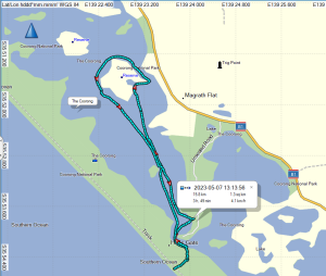


Long Island Paddle Sat 6 May 2023