
Chowilla — 8 – 10 March 2025
Careful Planning
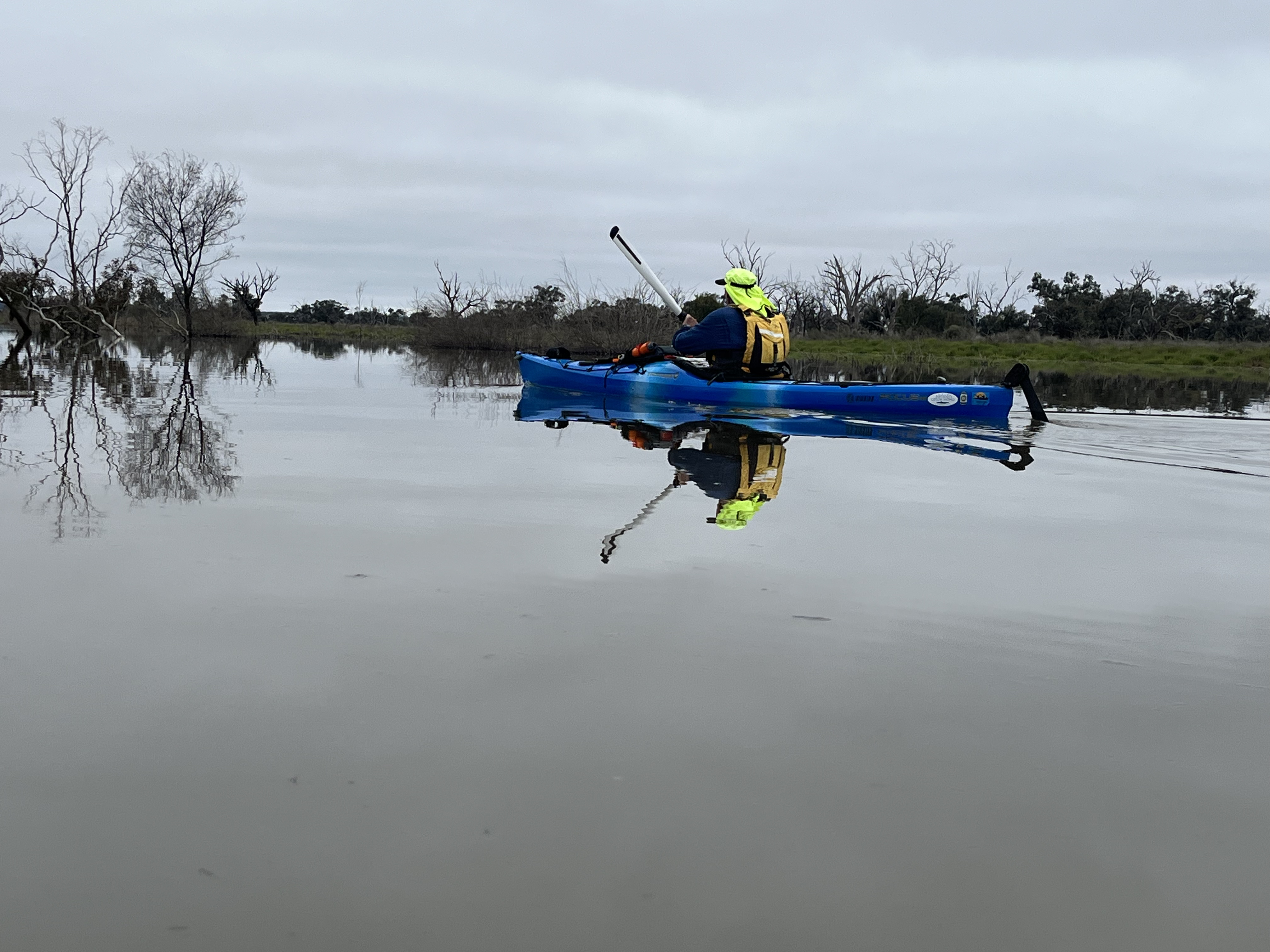
We carefully planned the trip for just after summer to avoid the heat. Unfortunately mother nature did not cooperate, with forecast temperatures of 39 degrees. Six intrepid paddlers decided to brave the heat and go anyway. Luckily for them as the weather was not as bad as expected. We had mostly overcast days and a bit of wind to keep us cool, especially after a refreshing dip in the river.
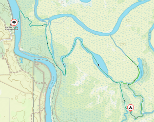
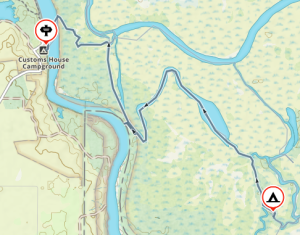
Starting at Customs House
 We arrived at the launching spot near Customs House Houseboats about midday on Saturday. We quickly unloaded the kayaks from the cars and packed, as we were all eager to set off before it got too hot. A short paddle across the river, and then we let the current take us down Suders creek to get to Hypurna Creek. This was not as eventful as it normally is. The big tree which normally blocks the creek seems to have been washed away which made the trip down relatively easy.
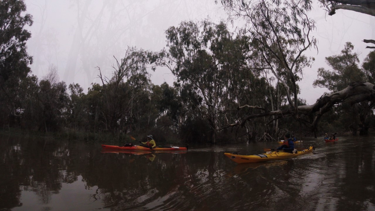
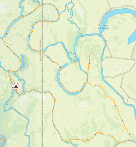
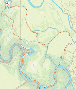
We paddled up Hypurna creek for another 6kms or so to get to our campsite. This was slower going than anticipated due to the lower water levels and increased number of fallen trees. Last time we paddled it, it was in flood, and we had trouble finding where the creek was.
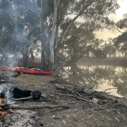
 After finding a suitable campsite we pulled up and set up camp. We soon put up tents, inflated mattresses, assembled tables and chairs. After such effort, we took a cooling swim in the creek, disturbed only by the shrimps nibbling on your feet if you stayed still for too long.
Circular Day
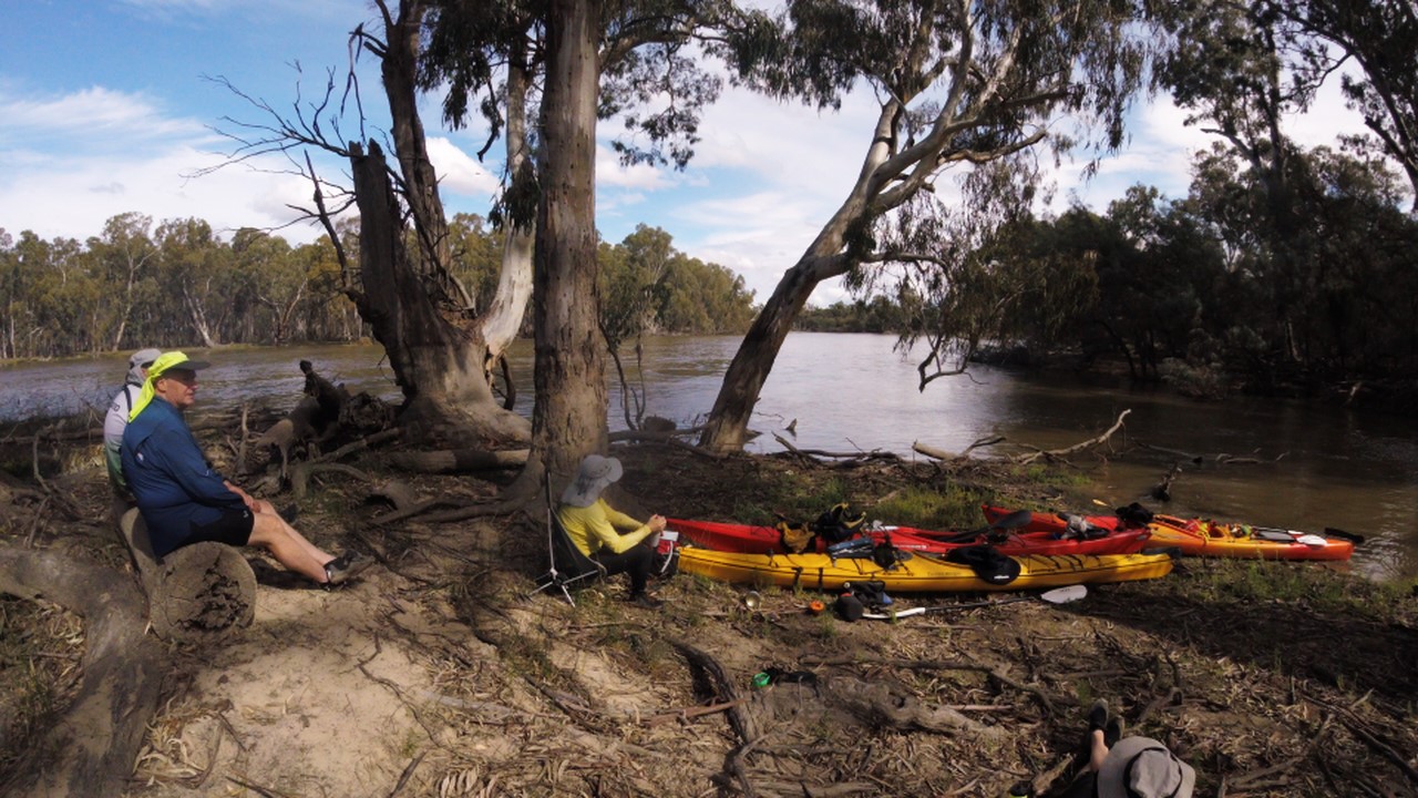
Next day we left the camp set up and paddled off in un-laden kayaks for a (hopefully) circular route to get back to the camp by a different creek. We continued up Hypurna creek for another 6kms, navigating an increasingly congested creek until we joined Salt Creek, which was wider but was just as congested. Another 3km of fallen trees and snags and we finally reached the Murray River, where we had a well-deserved lunch break, and another swim.
After lunch we set off down the Murray, finally paddling with the current. After 6kms of relaxing, un-congested, snag free paddling we reached the entrance to Wilperna creek, which would take us back to our camp, provided we could get through it!
 Luckily Wiperna creek proved to be mostly clear despite being narrower than all the other creeks we had been through. Mostly clear. Right at the end, 100 m from the camp, the creek was completely blocked by a large fallen tree, necessitating people having the climb out of their kayaks, onto the log, drag the kayak over the log, and then climb back in again. Some people opted to skip the last step and just walked back to camp while the kayaks drifted back.
After another cooling swim, some red wine and an early dinner, we watched the sun set before heading to bed for another warm night. I definitely over packed, didn’t even need a sleeping bag really.
Last Day
 Next morning we packed up the camp and headed off down Hypurna creek. This time with the current so all the obstacles were a bit easier to manage. We opted to do a short (100m) portage to get back to the Murray rather than try and paddle back up Suders creek. This wasn’t too bad despite the kayaks being loaded. Carry straps and six people per kayak made short work of it. We took the opportunity to have a final swim before setting off to do the final few kilometres to get back to the launching spot.
Upon arrival, we quickly unpacked and loaded the kayaks back onto the cars, as the cloud cover had gone, and the sun was starting to bite. We then headed back into Renmark to the nearest bakery to stock up on some unhealthy, but well deserved, treats before saying our goodbyes and setting off back to Adelaide in gloriously air-conditioned cars.


