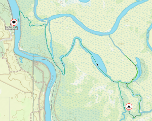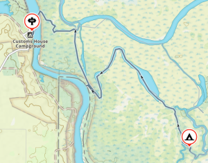
Murray River backwaters car camping – Katarapto, Eckerts Creek, The Splash — 19-21 September 2025
First Day
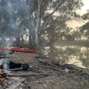
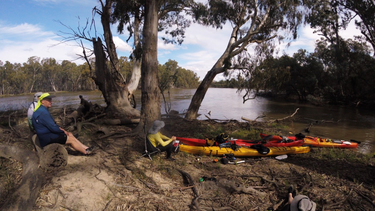
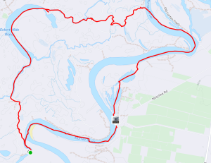
 Everyone arrived at the campsite on Friday, for a relaxed setup and chat around the fire. On-the-water time was set for 9:30 am on Saturday, but by 9am everyone was all set up and ready to go, so we set off up the Murray towards Lock 4, with a nice tailwind to help us along. Bernie phoned the lockmaster just before we got there, so there was no delay once we arrived. After everyone entered the lock, the gate closed behind us and we chatted to the lockmaster as the waters lifted us up, and the upstream gates opened.
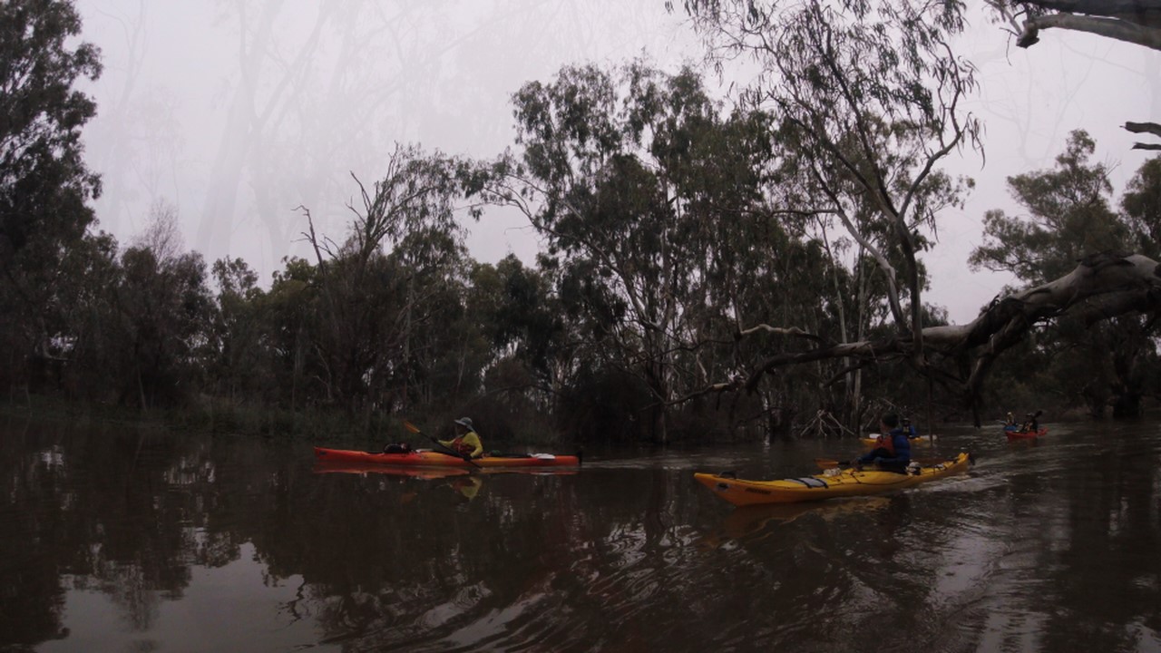
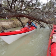
Just after the lock we took a scenic shortcut through the Ajax-Achilles Lakes and then continued up the Murray until we reached the entrance to Eckerts creek. An easy portage had us over the regulator, and then we let the water carry us downstream, weaving around all the fallen trees. One tree proved to be impassable, until Abelardo got out his trusty saw and cut us a way through.
Onto Eckerts Creek
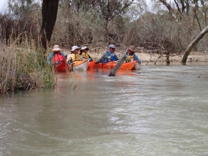
 Eventually we reached the Eckerts Creek Wide Waters, where the creek opened up into a nice, wide oxbow lake. We paddle up into a stiff headwind, which gradually turned into a welcome tailwind as we moved around the curve of the lake. After we reached the end of the lake, we continued down the creek until we reached Sawmill Creek, which would take us back to the Murray and our campsite.
Sawmill Creek is a very narrow waterway, luckily this time there was an artificial flooding event happening, and there was plenty of water in the creek. After a small portage around the regulator at the end of the creek we were back in the Murray river, and only a few hundred meters from our campsite.
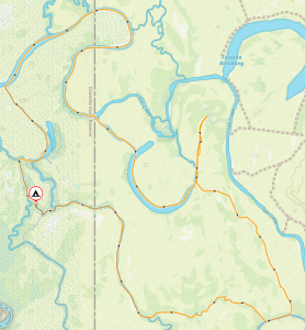
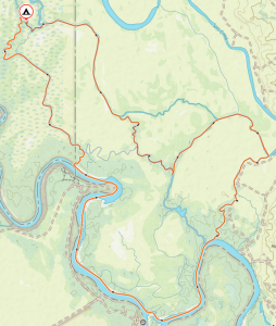
Second Day
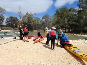
 Sunday morning we packed up the camp first, before heading downstream to do a loop in the opposite direction. The first obstacle was the rocky weir just below the campsite. There was a good flow of water over the rocks, and despite some trepidation, everyone managed to paddle over the weir and navigate the turbulent water below it without and capsizes.
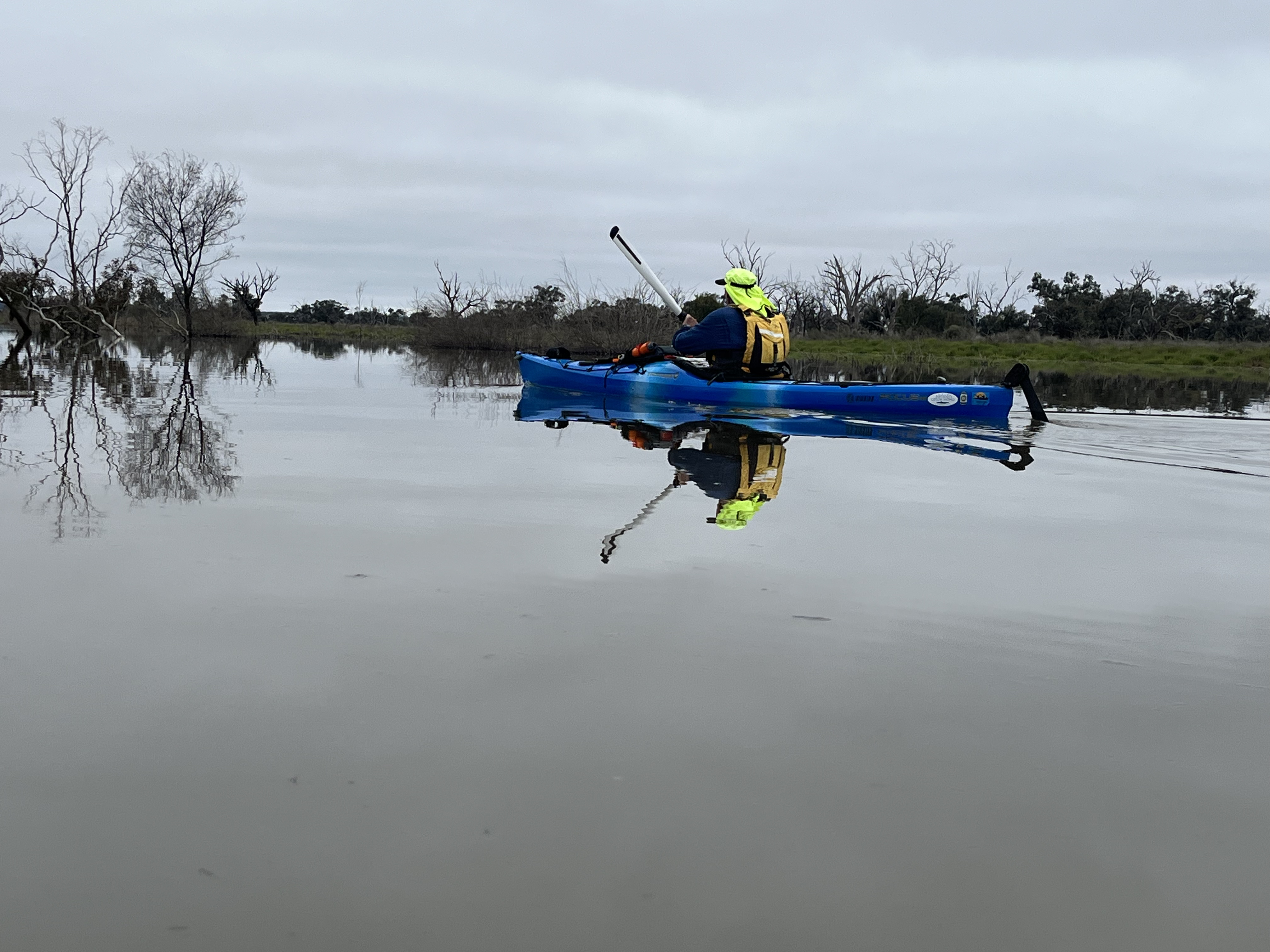
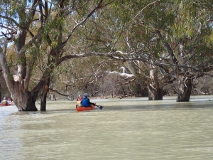
We continued down Katarapko creek until we reached the regulator at the end of The Splash. Unfortunately, due to the artificial flooding event the regulator was closed, necessitating a difficult portage over the regulator. We were rewarded with the creek being in full flood above the regulator, and continued upstream, meandering amongst the trees along the flooded creek. A leisurely paddle, with much checking of the GPS to make sure we didn’t end up in a dead end in the floodplain, we followed the creek up until we reached Sawmill Creek again, but this time from the other side.
Wrapping up
Another short paddle down the creek, around the many fallen trees, and over the regulator, and we were back at the cars and ready to return home. With a stop at the nearest bakery first of course.
Overall Statistics (Links point to GPX files)
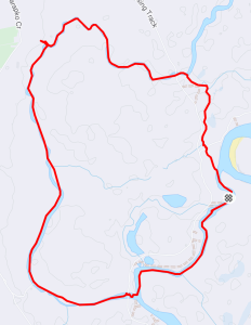


 Next day we carried on down Toupnein Creek, enjoying the peace and serenity, until it joined the Murray again. Helped by the current again, we sped down the Murray to the exit of the Lindsay River. The day turned out longer than planned. As we bypassed the previous trips campsite to look for a better one, which didn’t turn up for another 6 kms, by which time everyone was more than ready to stop. Total distance for the day was 31 kms.