Posts

Coffin Bay — 5 – 9 February 2024

Monday

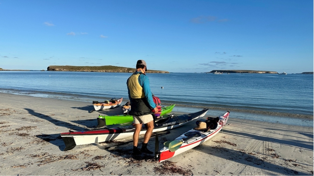
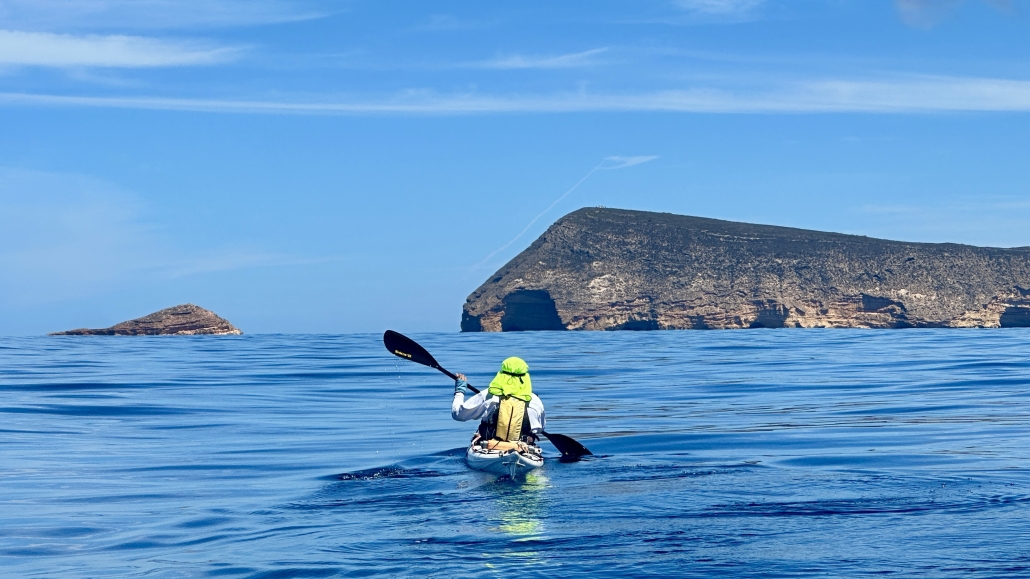
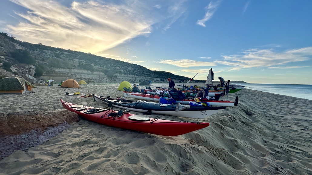
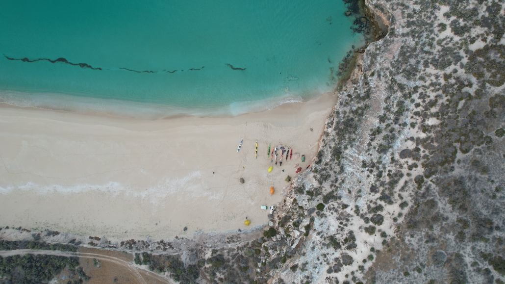
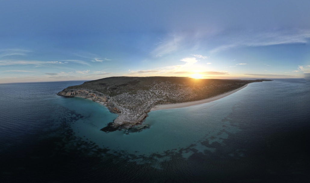
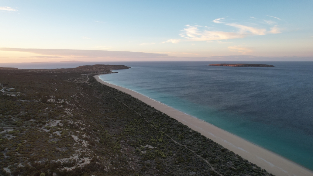
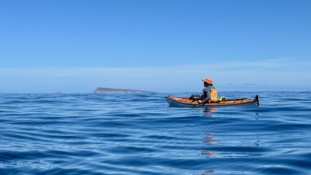
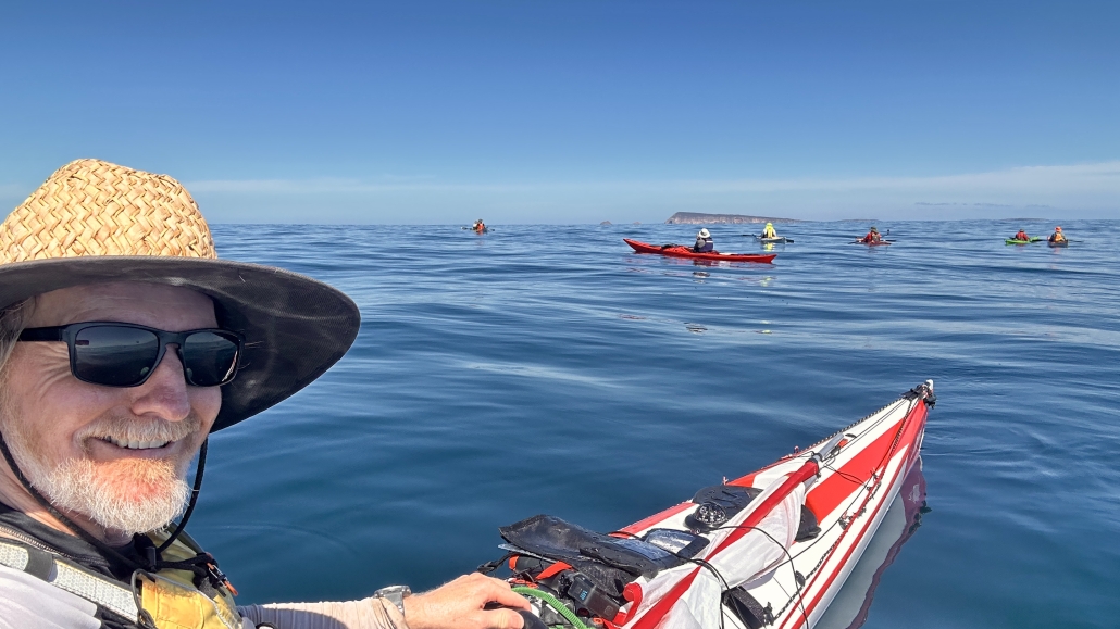
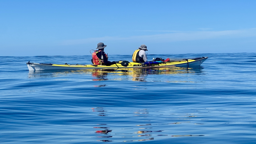
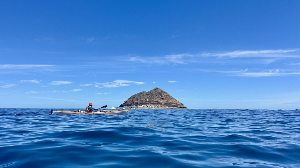
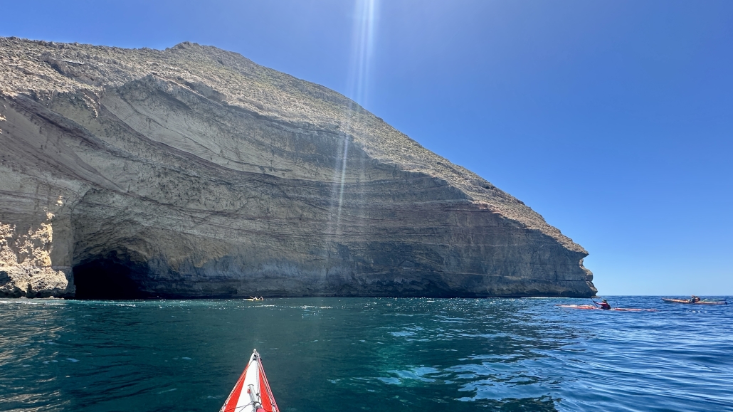
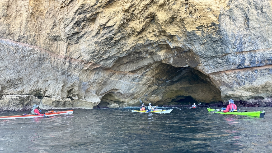
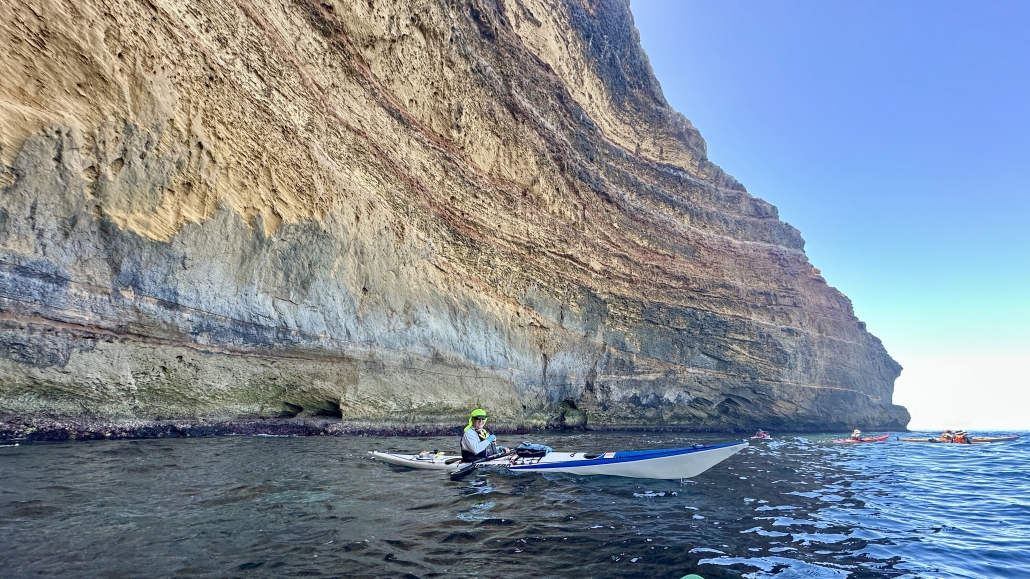
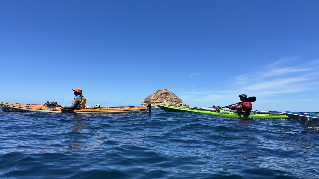
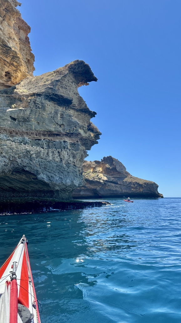
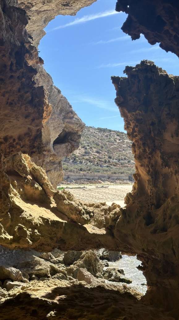
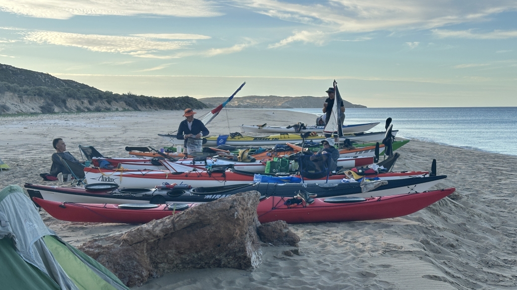
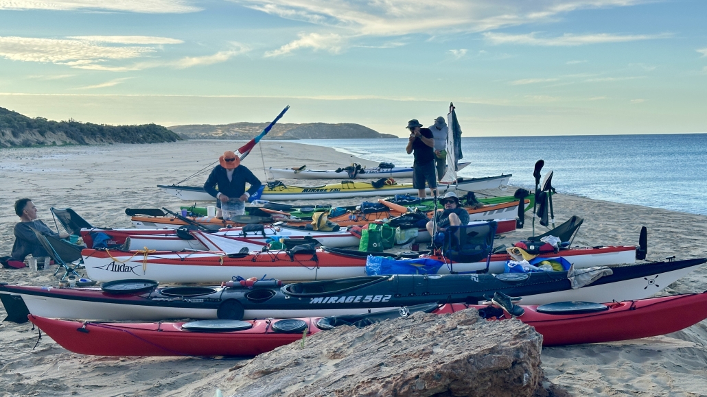
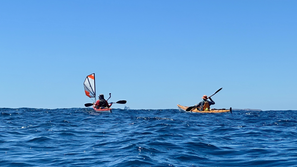
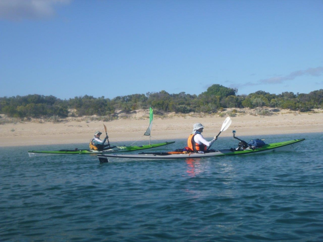
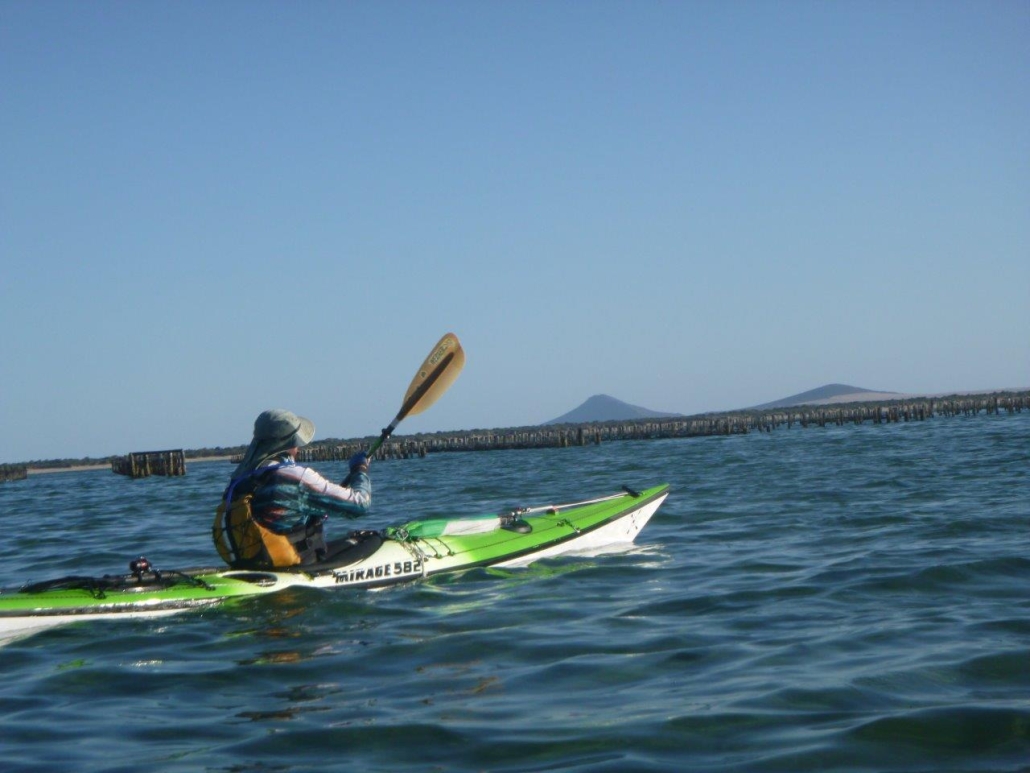
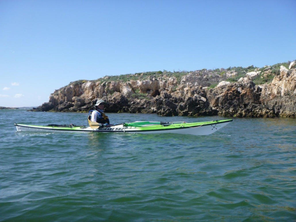
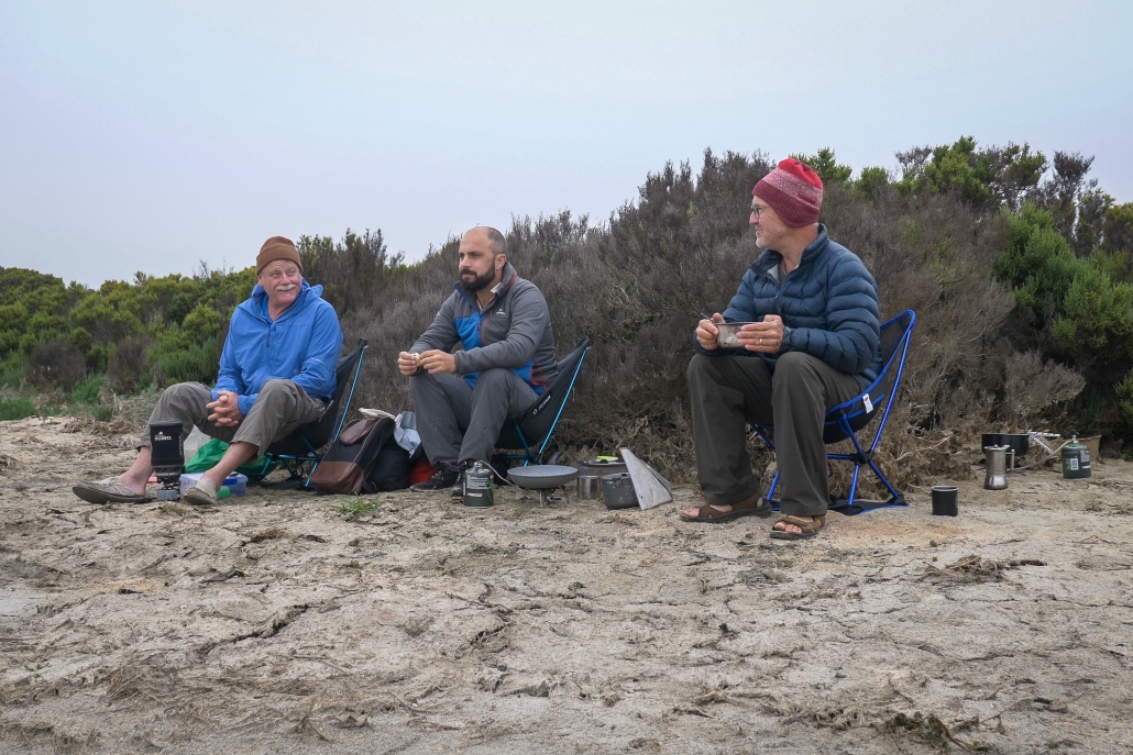
Monday 5th February we set off from the beach near the Coffin Bay Caravan Park. A 9 knot south easterly wind made the sea choppy with occasional waves washing sideways over our kayaks. The Brothers Islands gave us a short respite before we crossed to Eely Point. Then along the sheltered cliffs to our camp at Black Springs. The early start to avoid the strong winds in the afternoon meant we completed the 17km before lunch.

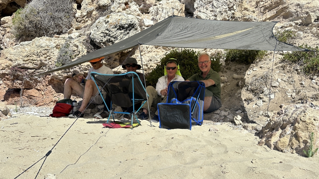
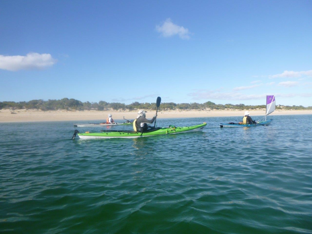
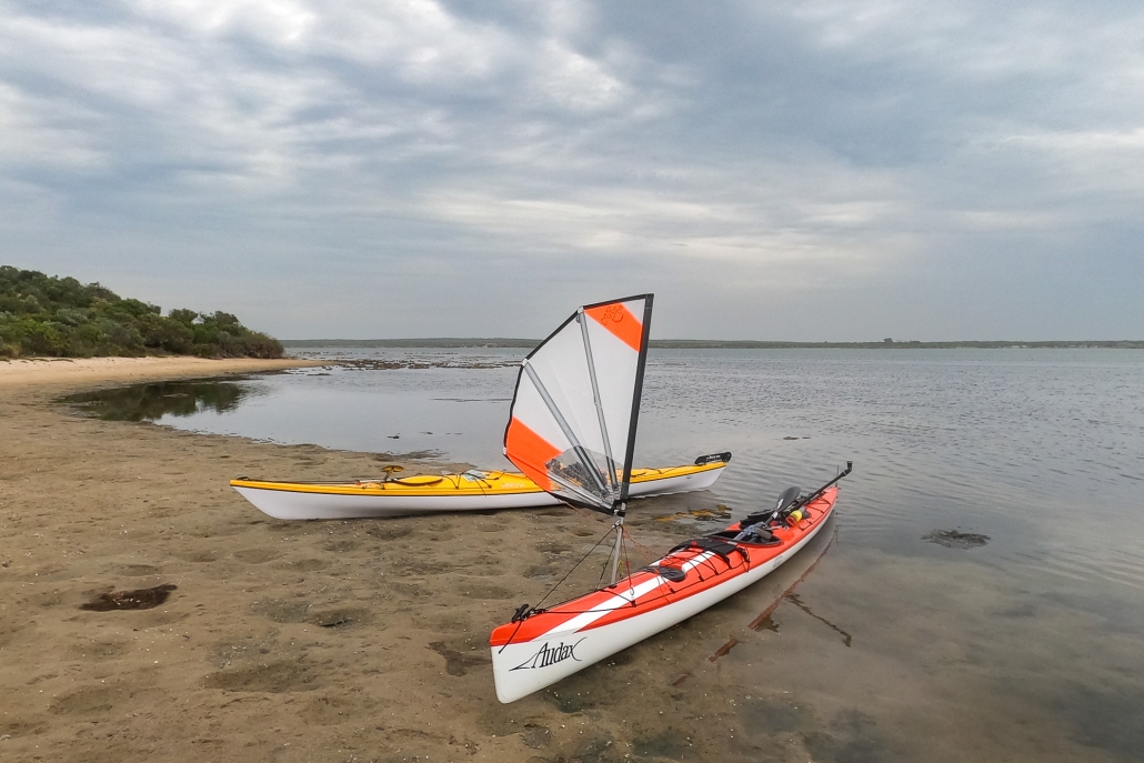
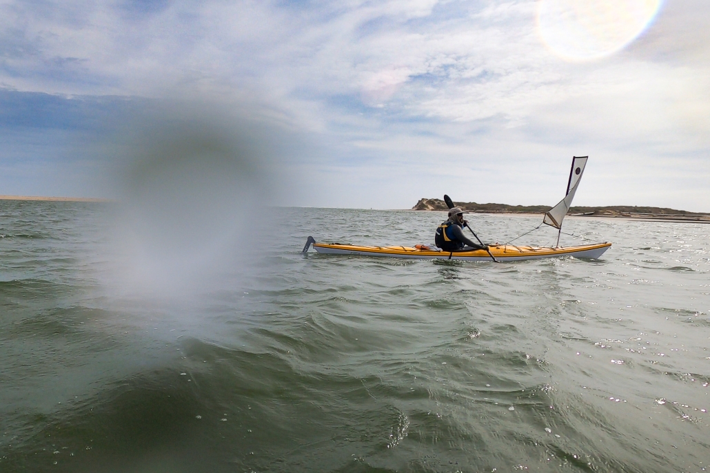
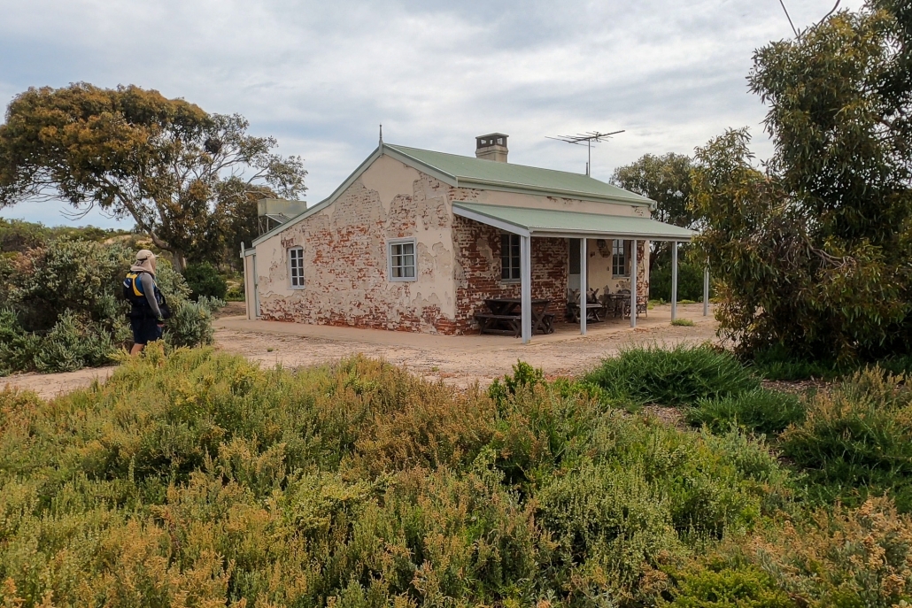
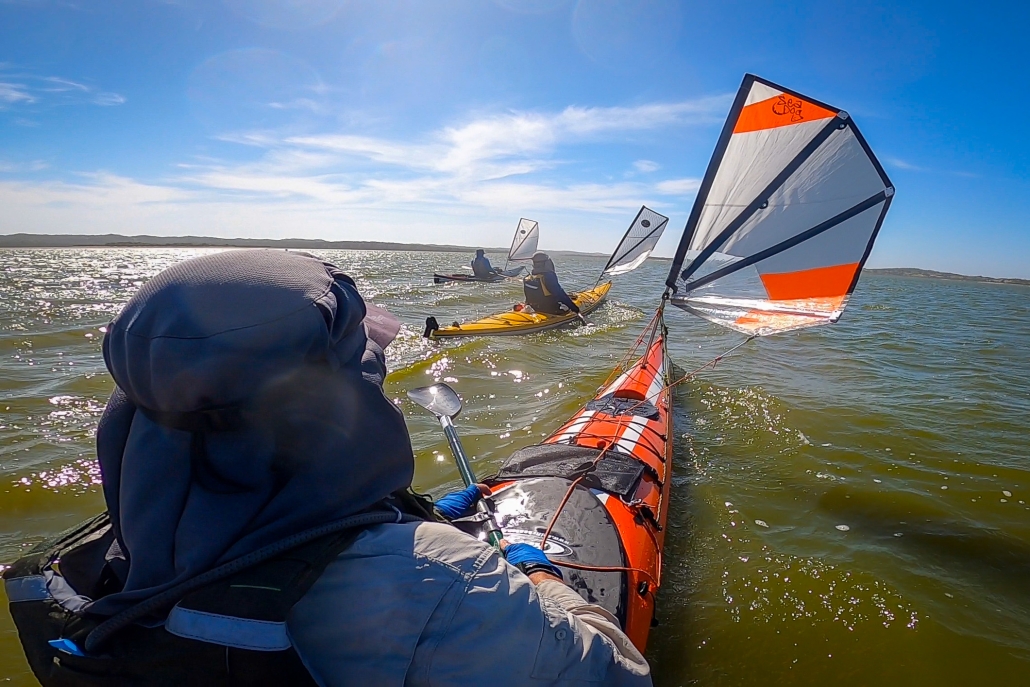
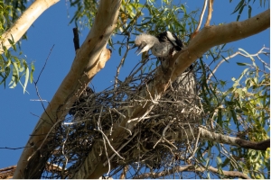
Greg and Chris were pleased that they had stayed upright in the choppy water and Steve enjoyed a sail from the Brothers Islands when the wind was more from behind. Simon, Greg and Steve had a lazy afternoon at camp. Chris and Anne set off on the Black Rocks hike. Looking out over Avoid Bay, Chris and Anne spotted a large Osprey nest with a couple of osprey that took flight and screeched overhead.

Tuesday

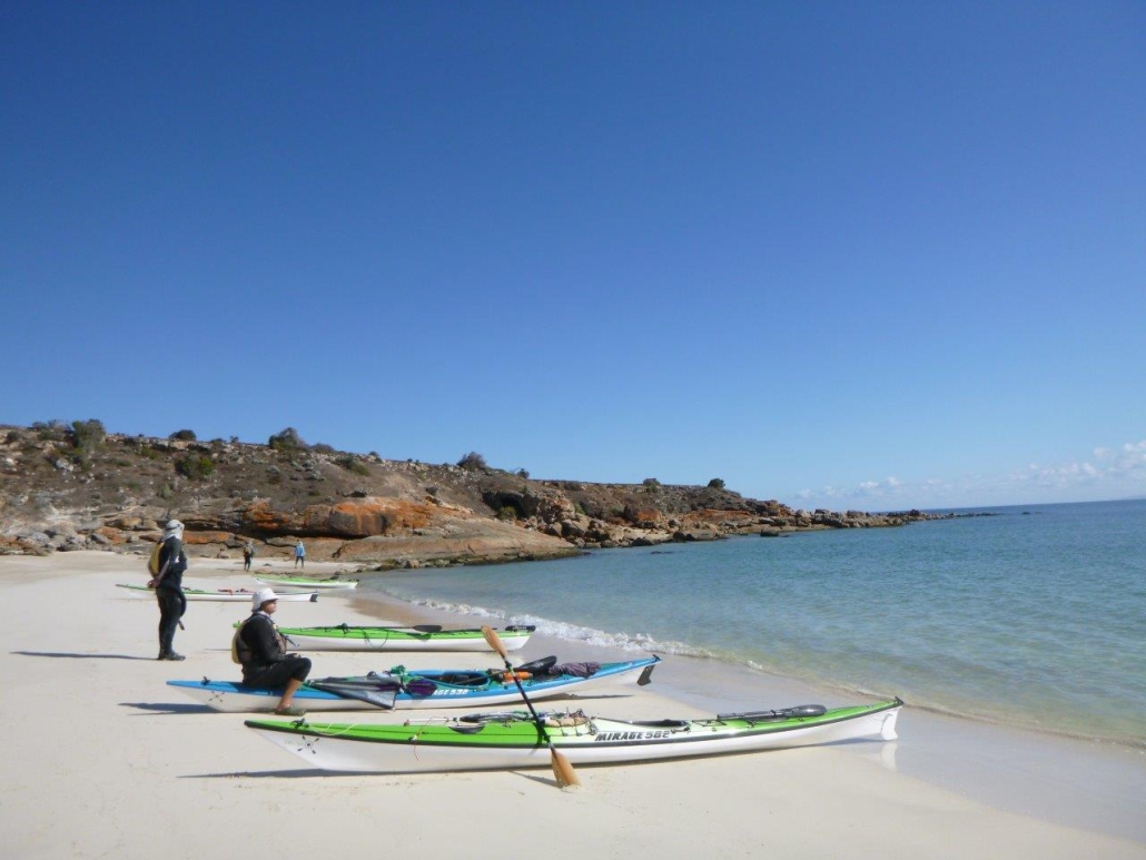
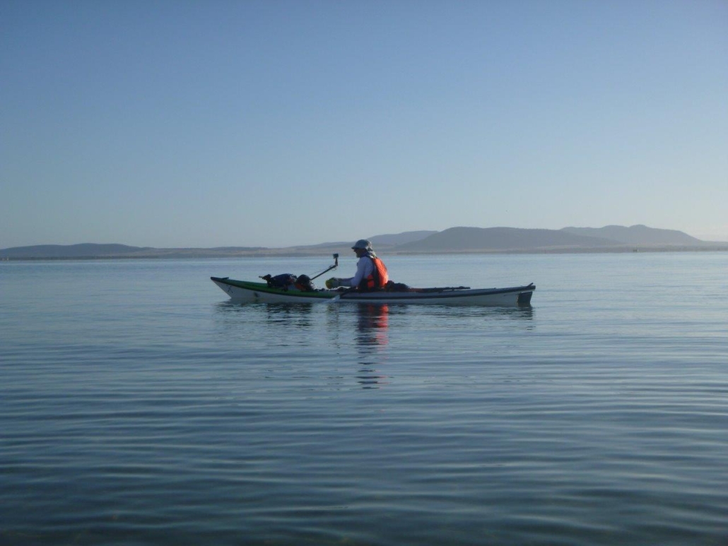
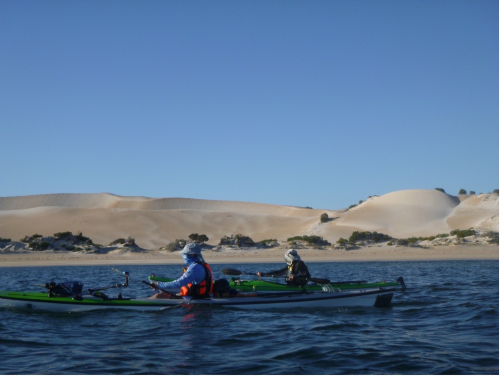
Another early start paddling on Tuesday, to take advantage of the calm conditions. We made it through the oyster beds (always a highlight) and around Point Longnose and then were mainly sheltered close in along Seven Mile Beach. We stopped to look at a whale skull which had washed up on the beach years ago. It is amazing how big the skull and top jaw was. No sign of other bones though, so hard to estimate how long the whale was.

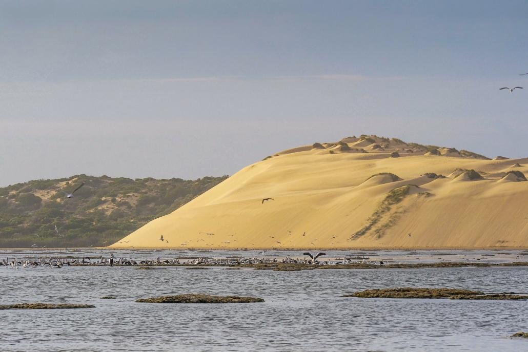
Seven Mile beach is mainly large sand dunes and Chris was wishing for a slide down their steep slides. Instead we enjoyed looking at the seaweeds and the couple of rocky reefs as we paddled to Morgans Landing. Again the early start meant we were setting up camp before lunch then enjoyed a restful afternoon having paddled about 20km. Morgans Landing camp sites were inundated with bees. However, Greg solved our problems. He put a bowl of water away from our tents and the bees congregated there to get a drink instead of on us.

Wednesday

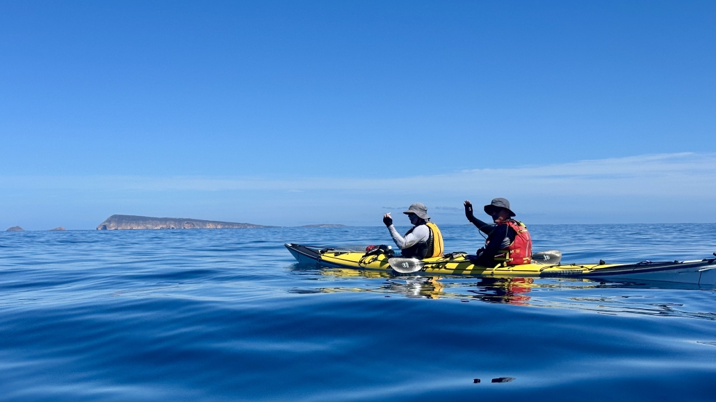
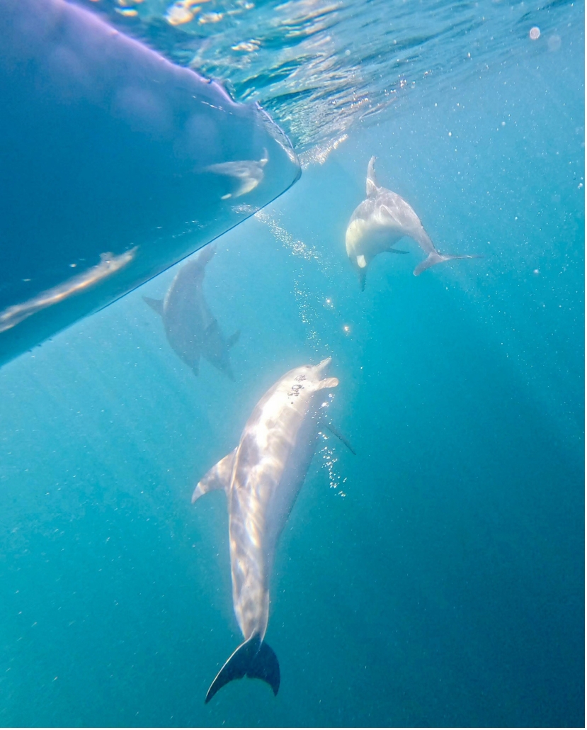
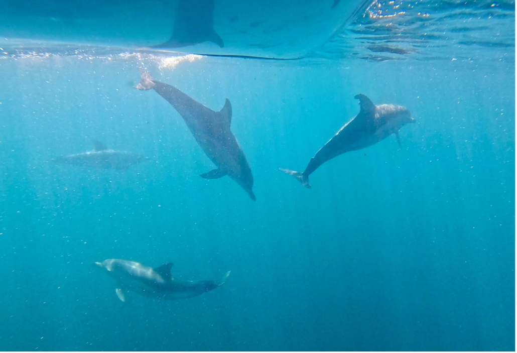
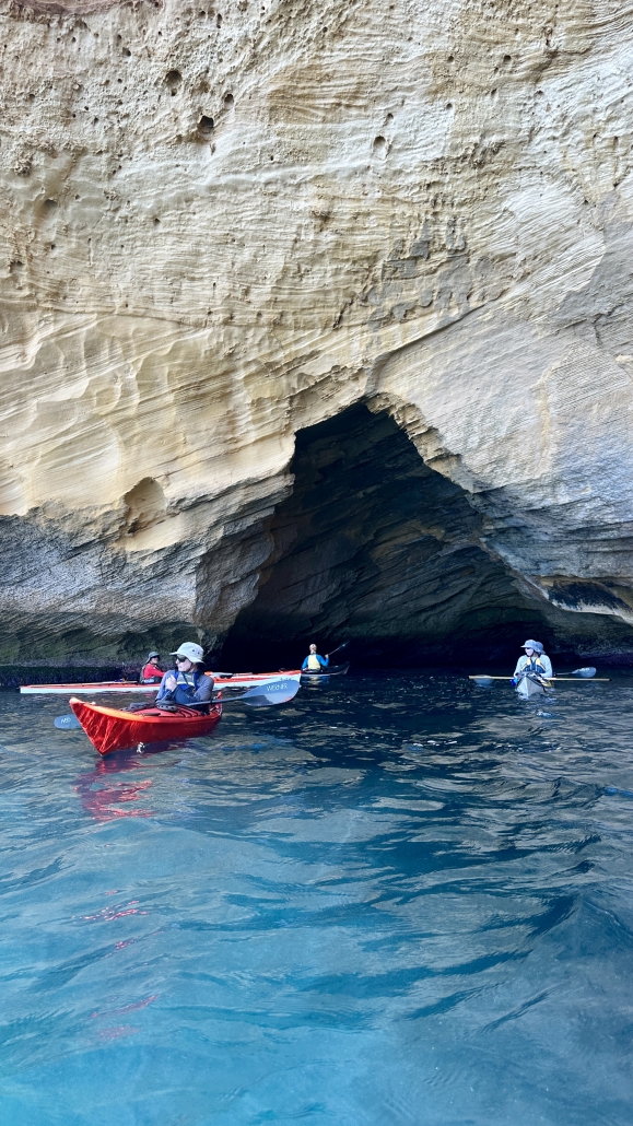
Wednesday was the best. We left camp set up and headed north to The Pools campsite then around Point Sir Isaac and into Seasick Bay, which was remarkably calm. We could look down into the clear water and see fish and a multitude of different seaweeds, sea grasses and sea lettuce. Simon and Anne have been trying to get to Point Sir Isaac on two other ACC Coffin Bay trips. A lightning storm first and then strong winds made it impossible. This trip we made it! The water was so calm we could see a pod of dolphins feeding. There was so much splashing and blow spouts that Steve thought it might be a group of orcas.

A nearby fishing boat went to get a closer look and reported back that it was just dolphins. We turned around fairly soon after morning tea because the forecast was for stronger headwinds for our return journey. The forecast was correct, we were glad to be back at camp for lunch, avoiding winds over 15 knots.

Thursday

Another early start on Thursday to avoid the strong afternoon winds. We had a beautiful paddle back along Seven Mile Beach with the early morning light highlighting the sculptured sand hills. Point Longnose has changed; there is now a channel through, with a sand island further out. The water was shallow and so calm as we paddled back through the oyster beds that we could see starfish and Fiddler Rays below the kayaks.

Then the deeper water past the oyster beds was whipped up by a strong head wind and odd currents into tricky confused waves. Our aim was to head straight into the waves as best we could. Then when in the shelter of the beach make our way back to Black Springs campsite. In the difficult conditions Greg and Steve became separated from Simon, Anne and Chris. Then Chris got swamped and needed a rescue. After a successfully completing his first rescue in his new kayak we continued our battle towards the sheltered water and then camp. Everyone made it safely, pleased at managing the difficult conditions. Once again our early start has us having lunch after our day’s paddle, then setting up camp and relaxing.

Back to Coffin Bay

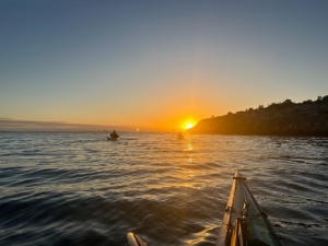
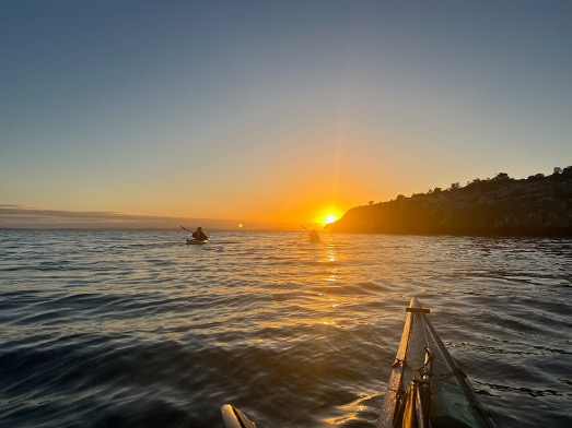
Knowing that we would have a head wind on the way back to Coffin Bay township we are again up early and setting off just before the sun rose. The paddle back to Eely Point was OK, with just a slight breeze then we turned into a strong headwind. This time we managed a tight group as we paddled into waves and wind towards The Brothers Islands. We enjoyed a short rest there looking at some seals that came into the water but not too close to us. Leaving The brothers had us initially in very confused water as tide and wind were mixing in odd ways. Once away from the islands the water settled into consistent waves and about a 13 knot head wind. Another stop on a small beach for some food and rest had us refreshed for the final push to Coffin Bay township.

With the wind from the south east we planned to get close to the town then cross over to the town side and hope for some shelter. However, by the time we got there the wind had swung around slightly to an easterly, so no rest from that. We had checked the tides and knew we had a following tide so were confused when we got near the town and found a wind-set current going against us! It just all worked against us in the last stretch to our end point but we made it. We had managed the 17 km against head wind, waves and without the tide assistance.

Time for Oysters

After setting up camp and having a luxuriously long shower we went over to Oysters HQ to sample the best Coffin Bay oysters and beer. Then enjoyed dinner at the Yacht Club to celebrate our achievement of completing the paddle around Point Sir Isaac. We survived the tricky waves and wind and the general wonderment that Coffin Bay offers in the pristine waters, magnificent sand hills and cliffs and wilderness of the National Park.

Sailing the Coorong from Salt Creek to Murray Mouth — 2-5th January 2024

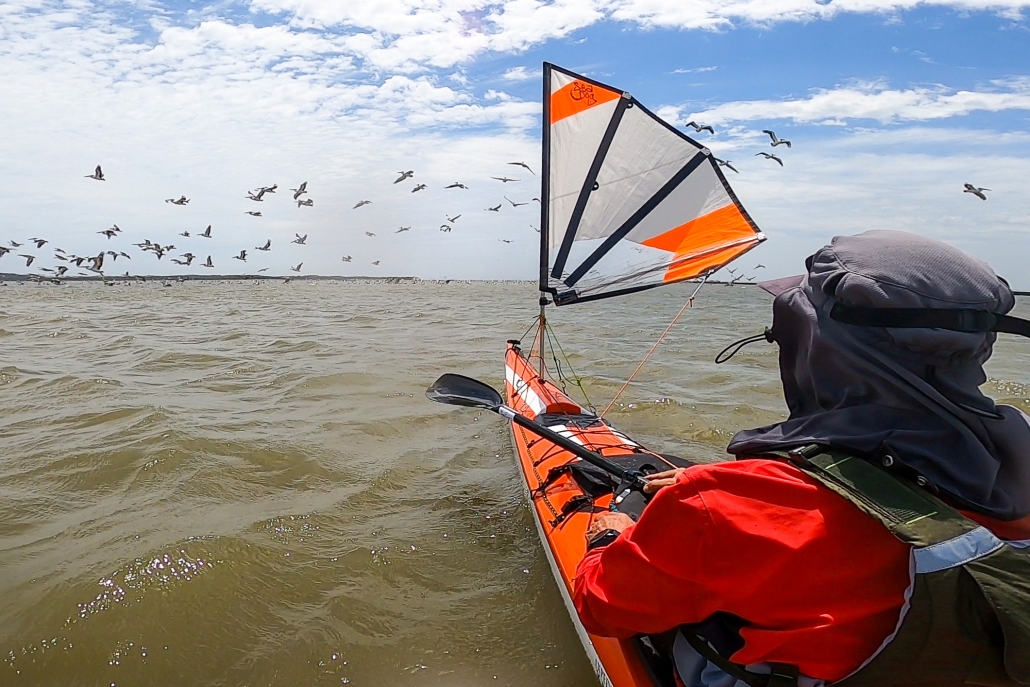
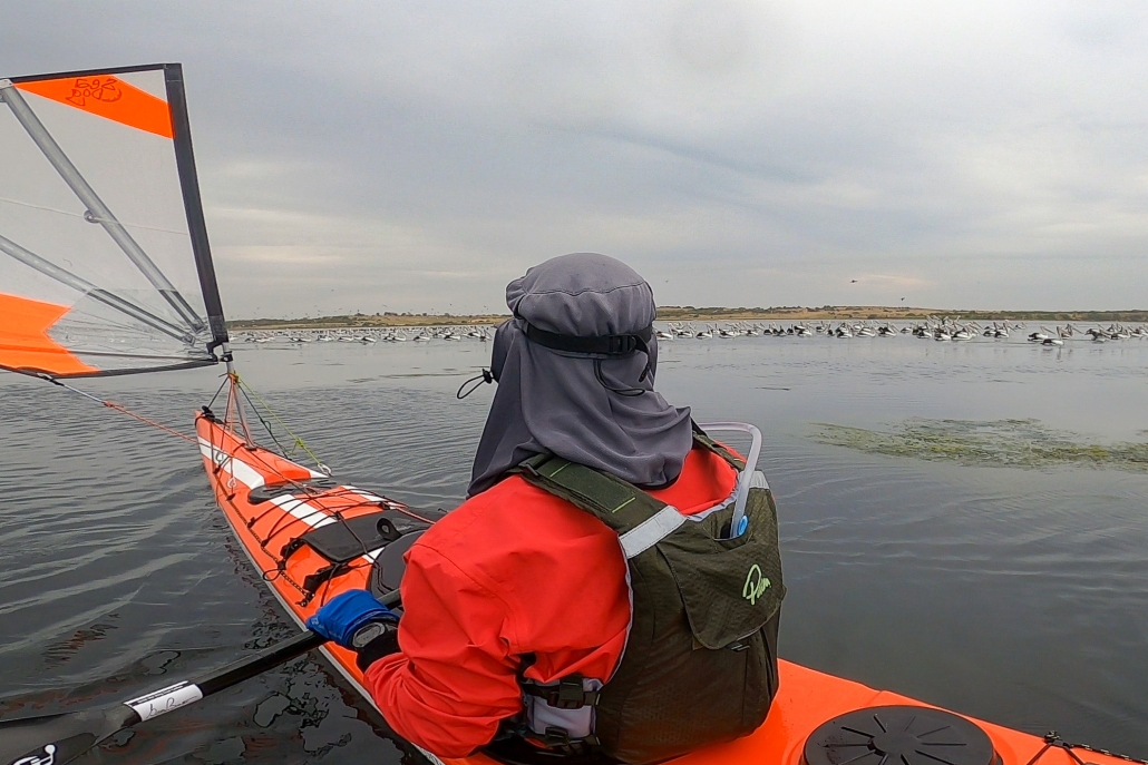
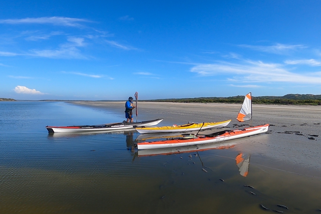
Embarking on a memorable expedition, our team, comprised of Phil Doddridge, Greg Adams, and Matthew Eldred, set sail from Salt Creek around 11 am on Tuesday, January 2nd. The wind, as predicted, gained strength, facilitating a smooth 37 km paddle under sail to our initial campsite near Parnka Point, surrounded by mud. Notably, the Coorong’s water level was unexpectedly low. It was hovering around a meter below its optimal height. A recurring theme throughout the journey.

Through the mist

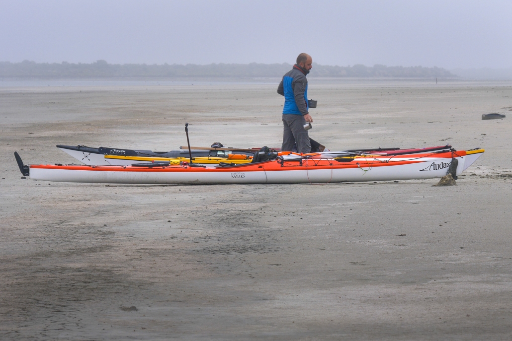
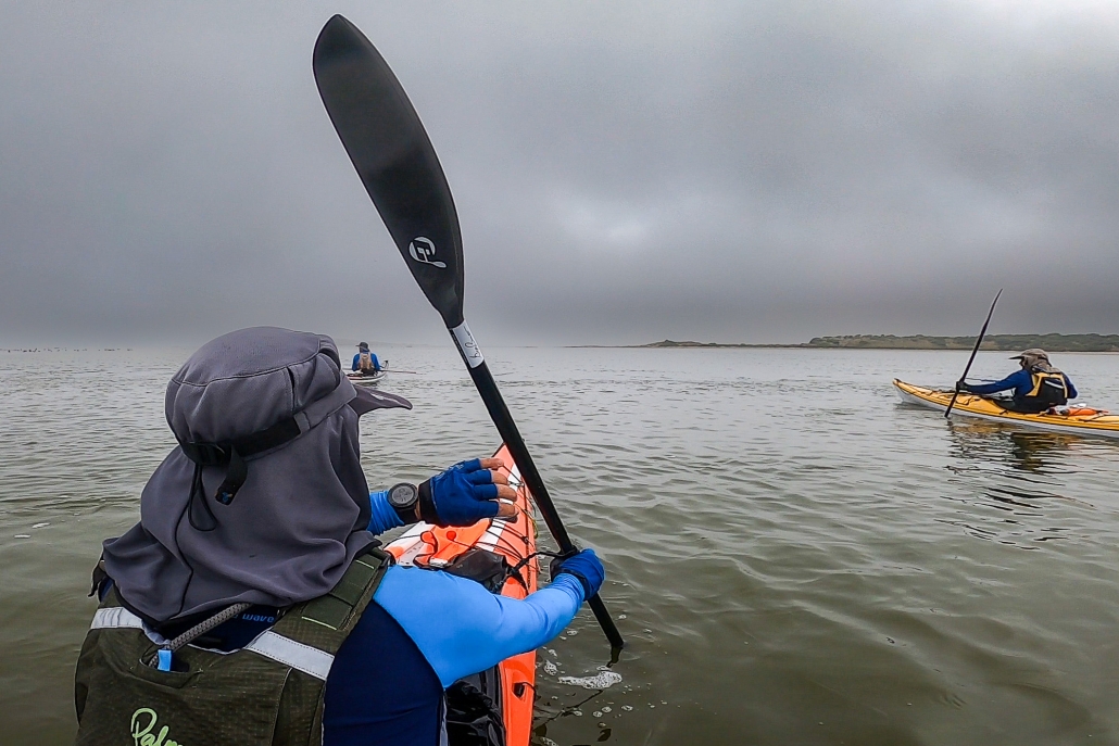
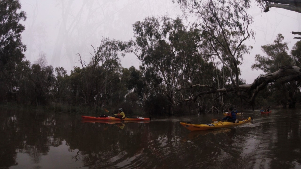
Day 2 dawned with a mysterious sea mist, casting an eerie atmosphere over our paddle. We also had a slower-than-anticipated southwest wind. Navigating westward through islands, coral reefs, and challenging sand flats, exacerbated by the low water level, proved a test of our resolve. The silver lining was the influx of birdlife drawn to the flats, offering a unique opportunity to appreciate nature.

Overcoming the hazards, including negotiating the needles and coral blockage we suffered minor skin abrasions but we considered it the small price of admission. Beyond this obstacle, the remainder of the journey to the Coorong cabins, where Phil’s car awaited, became a smooth paddle into the mist.

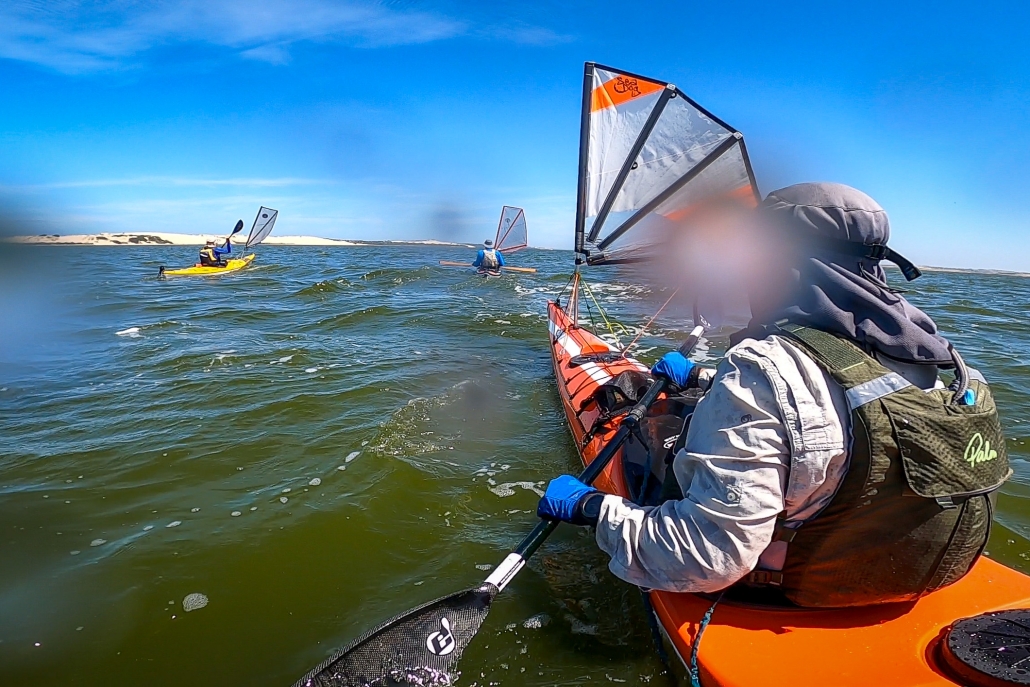
Day 3 greeted us with lifted fog and a return of southeast winds at 10-15 knots. Despite persistent low water levels and expansive sand flats, the familiar sights of the Coorong’s freshwater soaks, rolling sand dunes, and aqua-colored waters made it a classic experience. A change of plans at Tauwitchere barrage lock. The low water and high winds made crossing into lake Alexandrina not appealing.

Murray Mouth

Opting for the Murray Mouth as our finishing point allowed us to capitalize on favorable winds. We completed the 110 km paddle from Salt Creek.

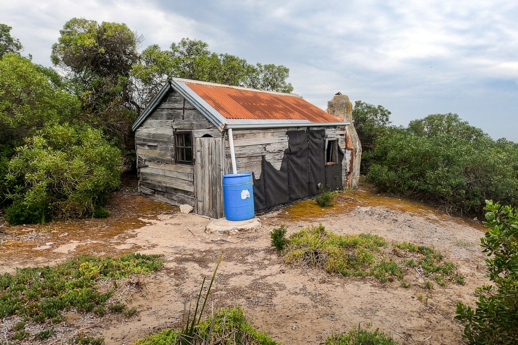
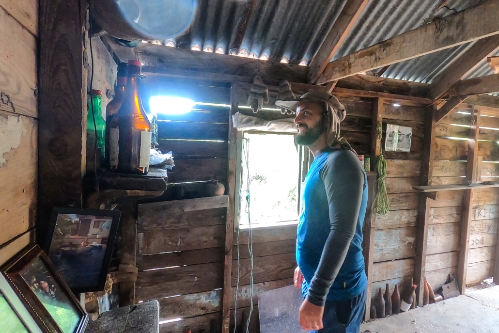
Throughout the trip, our backyard revealed hidden gems from enchanting campsites and islands to diverse wildlife and concealed shacks. The journey was a tapestry of discovery, weaving together the beauty of our surroundings and the thrill of exploration.

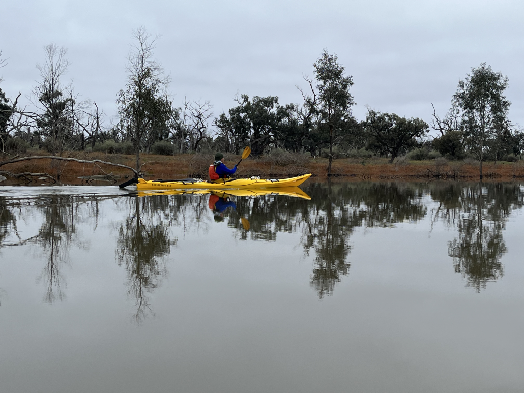
Morning in Chowilla

Four days exploring the creeks in the Chowilla reserve, in the Riverland — 19-22 Aug 2023

From Plan A to Plan B

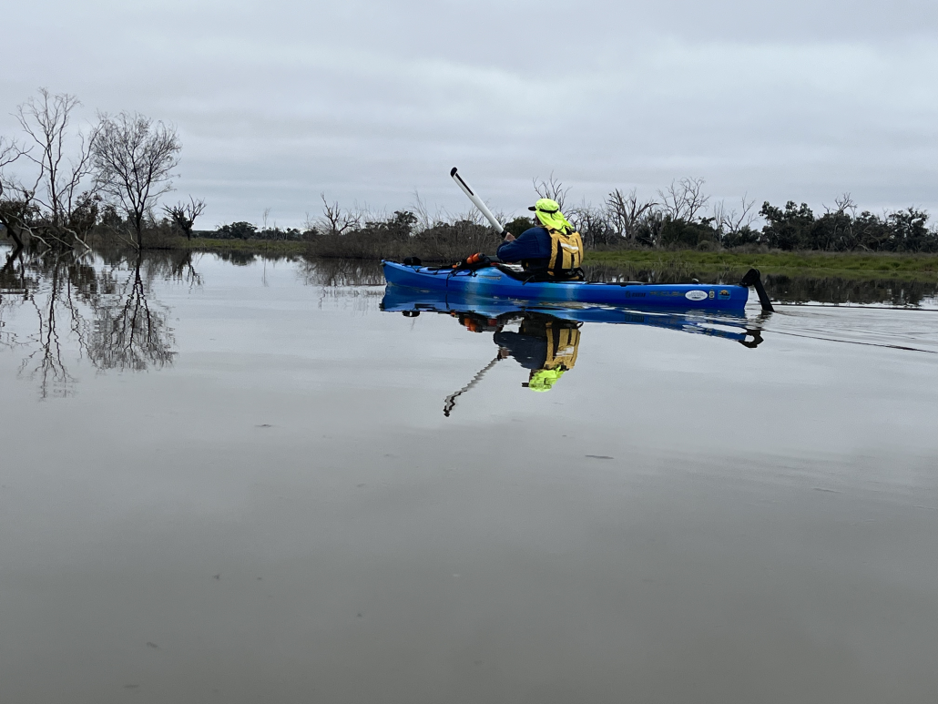
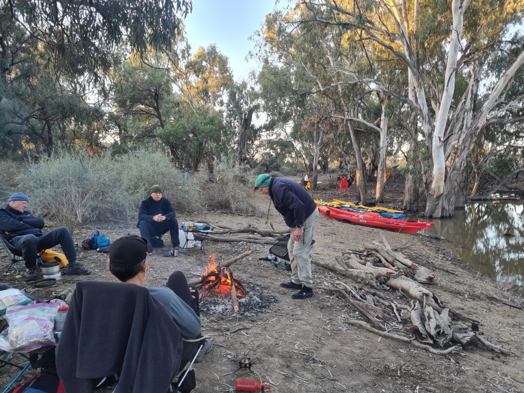
Enjoying the calmness of ChowillaThe original trip was planned to traverse the Lindsay River. But the high river levels put paid to that, as the whole Lindsay Island was closed to the public. Making the best of a bad situation, we changed the trip to the Chowilla area, where high water levels open up a lot of normally dry creeks.

We launched at midday on Saturday and crossed the Murray to find the entrance to Suders creek, which is the entrance to backwater area. This is normally a challenge, with the entrance to the creek being narrow and fast flowing, but this time the levels were high and the current very manageable, and we were soon through to Hypurna creek, which we followed up for a few kilometers before setting up a base camp where we would stay for the next three nights.

Setting camp for the trip

After setting up camp and relaxing for a bit, we went off for an afternoon paddle to check out if the short-cut through to Salt Creek was open, as we planned to take that route the next day. Luckily the normally dry creek was easily navigable so we didn’t have to change our plans. We then retired back to camp to start dinner and sit around the campfire solving important world issues.

Day 2

Next day was an early start as we didn’t have pack up the camp. We were soon paddling through wide creeks and flooded trees through to Salt Creek.  We followed it upstream for about 8km to a horseshoe lagoon which we normally bypass. Encouraged by the high water levels we decided to explore it. We were rewarded with yet another new creek which took us back to Salt Creek, cutting 4kms off our trip.

After a few hundred meters on Salt Creek we found an unmarked creek which was flowing in the right direction. We decided to throw caution to the wind and set off down it into the unknown. Flowing water is always a good sign as it has to go somewhere. We were pleasantly surprised to find ourselves ending up in Hypurna Creek, which is where we were planning on going. After a gentle 5km paddle downstream we ended up back at camp. We were soon relaxing around the campfire discussing the next day’s paddle.

Day 3

Lunch break before paddling the MurrayNext morning, after a quick breakfast, we set off back up Hypurna Creek to do another circular loop in a different area. We passed the entrance to a shortcut to Wilperna Creek which had been planning on using, only to find that the water level was not quite high enough to make it passable. Disappointed, we carried on up to Salt Creek to have a mid-morning break and talk about our options. After a bit of discussion we decided to continue to the Murray, and follow that around to the entrance to Wilperna Creek.

Normally we try to avoid the main channel of the Murray, too big and too busy. But this time we found the river pretty much deserted. A relaxed paddle had us going down the river at 10 km/h. There was a lot of water in the river! At that pace we were soon through Higgins Cutting and did the 8kms to Wilpurna Creek with no trouble at all.

Wilpurna Creek is one of my favourite creeks, narrow and winding, with not too many obstacles. But it can be hard to find, as the entrance is small and is just downstream from the NSW border. Unfortunately the sign for the border is about ½ a kilometre away from the actual border, on the wrong side of the creek. Luckily my trusty GPS had the entrance marked with a waypoint. We practically floated down Wilperna Creek, around fallen trees, escorted by curious emus and seeing the occasionally kangaroo, and were soon back at camp again.

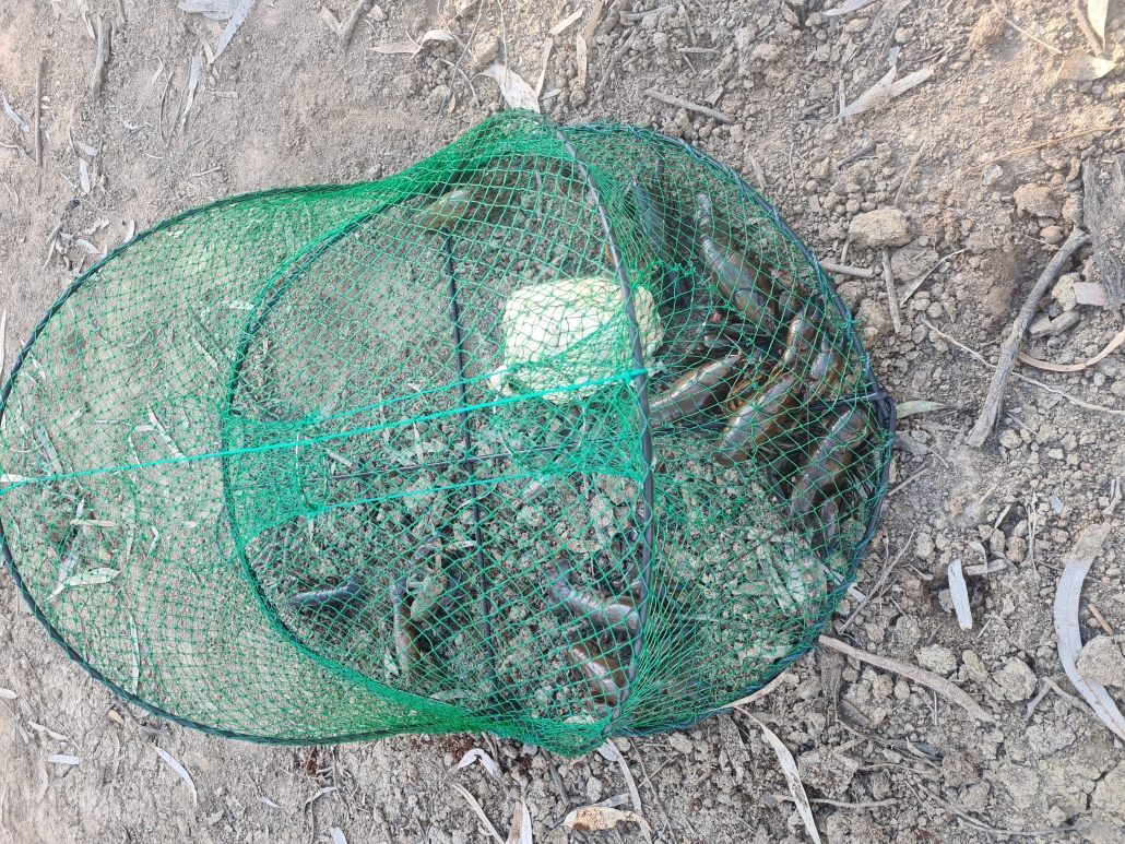
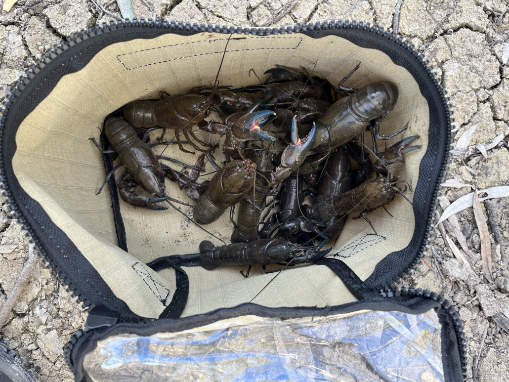
Chris had bought his yabbie nets along (I don’t know how he fits it all in his kayak), and had got lucky while we had been away. That night he treated all of us to some fresh yabbie meat snacks.

Day 4

Salt creek navigationOvernight our luck changed, and we had a bit of rain. Nothing heavy, but just enough to turn the ground into sticky mud, 10 steps were enough to add a few kilograms of the stuff to your shoes. After breakfast the camp was packed up quickly and carefully, trying to avoid most of the mud, and stopping occasionally to scrape the worst of off your shoes. Most of the gear went into the kayak reasonably cleanly, but the kayak cockpits ended up decidedly brown.

We paddled back down Hypurna Creek, aided by the current, paddling through trees which normally line the side of the creek. Some paddlers decided to do the portage back the Murray, while the rest decided to try paddling back up Suders. The portage point is well signposted, but we couldn’t find any of the signs, can only think that they must have been underwater. Kayaks were soon carried across to the Murray. The rest of the paddlers set of to try our luck going up Suders Creek. This proved to be an anti-climax, as it was an easy paddle back to the Murray and the cars.

We quickly threw  all the gear back in the cars, loaded the kayaks on the roof and put on some presentable clothes.  We then headed back to Renmark and the nearest bakery to indulge in a cup of hot coffee and some unhealthy treats before heading back to Adelaide, and a lot of washing of kayaks and gear.

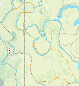
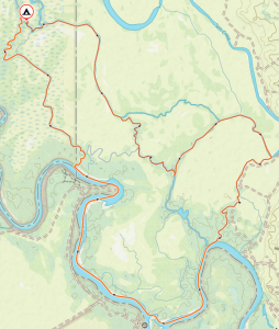
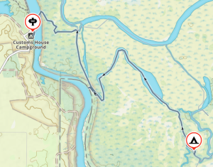
Overall statistics (Links point to GPX track files)

Saturday 19 August – Customs House to Campground, recce in the arvo – 11.95Km

Sunday 20 August – Salt Creek, Horseshoe Lagoon, Hypurna Creek – 24.1Km

Monday 21 August – Salt Creek, Wilpurna Creek, Murray River – 26.0Km

Tuesday 22 August – Campground, up Suders creek back to Customs House – 7.45Km

A weekend paddling Finniss River and Currency Creek — 10-11 June 2023

Day One

On Day 1, the paddlers packed their kayaks at Wally’s and were on the water by 9 am. They paddled 14 km to Clayton Bay where they stopped for lunch at 11:45 am. The winds were light from the north around 5 knots in the morning. After lunch, they skirted Hindmarsh Island before diving back northwest up Currency Creek. It wasn’t long before the old flour mill became their marker and point of interest. Once they made it to the flour mill, it was a quick paddle across to their campsite.

Tents were erected quickly to make time for the optional sunset paddle up Currency Creek to the main road bridge. The paddle up the creek is narrow only a few meters across, surrounded on both sides by tall reeds. They came across a portable cool room which had been washed down last winter.

Arriving back at camp, they were greeted by a fire prepared by Peter. With ample wood, the fire kept them warm while they told stories of camping sites past.


Day Two

On Day 2, there was not a breath of wind on the water. A slow start on the water by 9:30 am as it was hard to leave the fire and get into wet paddling gear. The paddle was easy as the predicted 8-knot crosswinds came late. There were no detours on the way back to the Finniss Channel. Once in the channel, they took the opportunity to explore some backwaters before finishing the trip.

Overall Statistics:

Day 1 35.2km

Day 2 21km

Total 56km

The Pages Expedition – KI South Coast – 21 – 26 April 2023

Day 1 and 2  – Victor Harbor to Pink Bay via The Pages

Karl Meyer, Ben Weigl, and Tresh Pearce met up at Pink Bay. Ben had earlier paddled solo from Cape Jervis, arranging to camp overnight along with the Adelaide Canoe Club (ACC) crew including Karl and Tresh. He had set up camp there before the weary ‘Pages’ paddlers landed late on Saturday 22nd April.  They had completed an epic ACC paddle from Victor Harbor to Ballaparudda Beach, camping overnight then on to Pink Bay at Kangaroo Island via the ‘Pages’ group of islets in Backstairs Passage. The trip was recently well-documented by Greg Adams from the Club.

Day 3 – Bay of Pinks to Pennington Bay

Breaking wind-against-tide clapotis around Cape Willoughby

The next day saw the trio set off for a further westward adventure around Cape Willoughby and along the South coast of the Island, aiming for Vivonne Bay. The remains of the ‘Pages’ expedition enjoyed a relaxing day before they headed to Antechamber Bay in the afternoon.

After launching and farewelling our comrades and the homely Bay of Pinks, we set our sails in the strengthening but still moderate easterly toward the nearby Cape with the awesome sight of its presiding lighthouse coming shortly into view. We knew we had missed the slack tide conditions and expected the wind-against-tide factor to come into play in rounding the Cape, causing rough sea conditions. This would be on top of the ever-present clapotis from the ocean swells in deep water meeting the sheer boulder cliffs under the lighthouse.

As we approached under full sail, the comments of James Fishers came to mind when he said during his and Dayna’s rounding of the Cape in 2022: that “it was the most hectic sea conditions he had ever paddled in”.  . . . . .  Well, that is pretty much what we experienced too. It was so concentrated and boiling with big breaking slop making for hectic and scary discomfort. I had been around the Cape a couple of times previously, but the conditions were nowhere near as severe then. The sails were good for providing the steady power to make headway through the clapotis paddock, as it seemed as though our paddles weren’t having much effect!  As well as going through the motions of forward stroking, they were being employed in bracing and keeping us upright.

Pennington Bay

Apparently, some or all of the ACC crew were walking to the lighthouse and saw us go through that. Greg Adams later said that seeing us set our sails for Cape Hart once we were through, was an inspiring sight. I’d say that for those of us on the water, once it had all sorted itself out after a km or two, it was more of a relief and then a deep pleasure to find ourselves with a steady breeze behind us, and we were away!

After an extremely pleasant sail around Cape Hart with its magnificent surf rolling onto the reefs, we rounded Black Point then eventually False Cape and were into the big indent of coast of Pennington Bay. The sea was often lumpy, the coastline magnificent.  After False Cape (and Black Point earlier), there are many beaches. So the clapotis disappears for a while and one can mosey along quite close behind the break. They were all breaking very close to the steep sandy shores. – evidence of extremely high-energy beaches. There may have been places to land but we didn’t see them.

Approaching Pennington it was getting on in the afternoon and we briefly looked for a small cove immediately west of the main beach, but couldn’t find it. Sometimes beaches disappear after wild weather, taking time to re-appear as the sand slowly redeposits. We chose the western end and landed through the moderate surf there onto an idyllic setting, sheltered and with the last of the sun disappearing behind the cliffs. It wasn’t cold at all and we were in high spirits at our good fortune in making it safely and very happily during our first leg.

Day 4 – Pennington Bay to Unknown Cove (A real Gem)

Camp in the D’Estrees Unnamed Cove

Shortly after leaving Pennington Bay my rudder became ineffective, a cable issue somewhere. Karl fixed it into a neutral position and I managed to sail and paddle using the stern rudder to keep on course in the steady easterly / northeasterly breeze. I could also keep my hands way off-centre of my paddle to lengthen the stroke on one side if necessary, but we mostly sailed. Upon landing it proved to be easily fixed with a minimum of tools.

Outside of this great little bay there were some awe-inspiring-looking breaks on the protecting reefs which we could get up close to and have a good look at. We waited around for Karl to do some surfing on the shoulders of them – so perfect were they. Alas, although we waited a good while, the sets didn’t return and perhaps we’d drifted from the best spot, so Karl has to wait for another opportunity!

Although none of us had direct experience of this cove, or knew anyone who had landed there (it just looked terrific from satellite maps), our bay turned out to be a real gem. We settled on the southern end of it, and made a delightful camp amid warm balmy conditions. At last we were in pristine country only occasionally visited by walking humans.

Day 5 – Unknown Cove near to bay near ‘Pogaroo’ Bay

That day was to be the pivotal day where we left all land-based accessibility along the Cape Gantheaume Conservation Park wilderness area. It really is heading out into the wild. We still had the most amazing conditions anyone could ever pray for: moderate swell and helpful breezes, not too strong, not too weak!

The little Bay just East of Cape Gantheaume

Not far from the Cape we landed in a little cove for an explore and a break. Now, theoretically there are no reliable unprohibited landing spots for sea kayakers before Seal Bay, meaning that Vivonne Bay should be the next landing. However Phil and Gordon had mentioned this little cove as a possibility (not sure if either of them had visited previously, but both said it was worth a look). It was very good to receive counsel from both of these very experienced expedition sea kayakers at different times before we set off along this Coast, I’m grateful that the accumulated pool of knowledge is so readily shared. We had also referred to the satellite images and seen the possibility, so gave it a go and it was perfect.  Good for camping too….. .. really, I’m talking perfect here. I think it has a large measure of protection from swell, however it would be scarcely visible from the usual half to a one kilometre offshore that most sea kayaking expeditions have to travel due to having to ‘get’ to Vivonne without dilly-dallying (our specialty) and the clapotis.  We had to share the bay with the resident sea lion population though!  We snacked there, and wandered around the breathtaking, but gentle cove, with a tiny hinterland of open shrubland.

Out to sea once more and we soon came to Cape Gantheaume. It is surrounded by many reefs but we paddled around them as the sea was calm. Although not a huge swell, there were many well-formed breaks all around the place.  The swell itself had a long interval and some were definitely 4 metres.  There were areas of reef that we were only 50 m from, a semicircle of Niagara Falls shape.  That is literally what it was like being near them from behind, it was not so much like waves breaking, but more like a waterfall going from high and falling into much lower ‘suck out’.  The continual roar even on this quiet day was ever-present and astounding, a constant reminder that nature is not to be underestimated, ever.

Eventually we come to our chosen landing and camp destination, a bay immediately before ‘Pogaroo’ Bay, which in turn is one bay before the better known Bales Beach. Our bay is the smallest by far of the three, and is protected to some degree. When we approached there were some significant swells rolling through. We spent some time happily watching it all to get the gist of how it works there. I say happily, because to watch is the safe part.  Yes, it had some big surf going on, frightening at times when the sets came. Karl opted to go in first, he threaded his way through, finding the beach exhaust flow in the middle left of the bay where even the big waves didn’t break. (Though we couldn’t see that from where we sat behind the breaks). He promptly set himself up on a high hill with paddle to sign for us go or not go. Very soon after, Ben and I waited for a lull, but the decent sized waves kept coming. Karl, high on the sand hill gestured most assertively with the paddle not to come as he could see what was happening behind us. We didn’t need to be told, we weren’t going anywhere for the time being.  One wave in particular was huge, Karl said later (he’s a longtime surfer) he was guessing at about 10 foot or 3m. Then there was a lull, and I could see the broken water outward with beach exhaust and rip centre left in the tight bay and thought “It had better be a decent lull or I’m cooked!”. It turned out to be what we needed and eventually on the same lull Ben set off inward. No waves broke at all along that line, which does a little dogleg halfway. The swell size seemed to diminish noticeably from that point on. We were all very stoked to have landed so successfully, with no mishap. After recceing the beach and surrounds we re-entered our kayaks to relocate into the very sheltered western corner of the bay a hundred metres away and set up another idyllic camp. The unnamed bay itself is extraordinary in its perfect half-moon shape with a narrow opening to the sea – very beautiful to behold. Being a gloriously warm afternoon helps no end too!!

We were now in the Cape Gantheaume Conservation Park some kilometres from the nearest road, but more recently a walking trail has been established nearby connecting with the D’Estrees end of the Park. From this site it was only approx 20 kms to paddle to Vivonne Bay on the following day, but there was still a lot of exploring to do in the morning even before Seal Bay.

Day 6 – Unknown Cove (near ‘Pogaroo’ Bay) to Vivonne Bay.

In the morning we set off to a much-diminished swell, cruising out of the centre of the bay without so much as a splash, the one to two foot reformed little shore-break near our camp was more splashy than the rip through. Passing the neighbouring larger bay directly adjacent to ours was also beautiful from our route a hundred metres off from its entrance. I was full of emotion as we passed Bales Beach:  so many swims there, and it continues to be a sacred part of my and others’ lives. In 10 days or so I will likely be there once again, and it seemed a bit weird with two completely differing contexts happening to overlap at that place.  The fresh north easterly breeze filled our sails and moved us along nicely toward Vivonne Bay.

With the wind coming in blustery from the NNE (before swinging more NE a bit later) we cleared Bales and the steep rocky cliffy shore once again resumed, though this time relatively protected by reefs a bit offshore.  A couple of micro coves presented themselves for inspection and possible landing. The first immediately after Bales proved a bit too unprotected, where there were dumpy breaks closing out its opening. I have visited there before on foot through the shallows on an exceptionally calm day and it is truly beautiful, and also accessible (just) by land. Has a very interesting honeycombed small stack that can be climbed around in to peep out of various windows!!  Not for today though. Karl and Ben went over to a potentially easier-to-explore area a bit further west, which was a cracker!  I won’t say much more about it, but this was definitely one of the trip’s highlights. Situated just outside the Seal Bay Exclusion Zone, It had a great many resident sea lions of all ages, including a bull. We had lunch and I can’t thank B & K enough for their decision to land there. (Even though in the forefront of my mind was the possible NW strong wind coming in before our scheduled close of play in Vivonne Bay around lunchtime).  This turned out to be a dire headwind, the NE intensified and came in early and made for a raging tailwind for the last hour.

After an interval with the seals and cubs and mammas and all sorts in the water and on the beach, we launched. At the point of launch intention, a mamma seal from the beach decided that she either wanted to inspect our boats a lot closer, or wanted to prevent them from entering the water, and blocked our path!  She was very intent on something, we waited until she drew away a bit. There is a pic of Karl entering the water and she is still a distance away by then but watching very intently. We did everything slowly, quietly and calmly.

Then off around the headland where we went inside the reef breaks threading our way, avoiding the locations where the bigger waves were breaking. There is always some tension at these times, the questioning…  “Have we got this right, or are we paddling into a disastrous trap?”  As we travel we check things out ahead for some distance, making mental notes, sometimes consulting maps for the locations of the reefs etc. And in the end, you either back your intuition using the evidence and visual based info, or be in undecided-land, waiting for a lull or trying to seek more evidence confirmation (sometimes this is the most appropriate) or even make the long back-track for a possible couple of kilometres.

Passing by Seal Bay beach we saw the paying tourists viewing the few seals on display there, whereas just around the corner there were lots (for no cost!) where we had just lunched among them.

Ben Blue Water Sailing, near Seal Bay

The Nobby, (an enormous detached piece of Headland alongside a wide protected channel) loomed up, and I went ahead to position myself where I could get a good pic of Ben and Karl coming through the gap to show the whole massive stack, while having them clearly visible in the gap. It was my one intentional set-up photo. Trouble was, I only casually briefed them as I paddled off. . . .well I waited and waited as they stuck together moseying along doing their exploring and seal watching and filming, while I’m blown further and further away from the desired shot. I back paddle against the wind, they hug the shore at snail’s pace, completely indiscernible, camouflaged against the texture of the Nobby, and the whole of the towering stack no longer in frame with water on each side.  I find myself way behind them and with only rubbish pics to show for it.  I put the phone away, and declare ‘ *@%@$* photography !’ and paddle strongly to catch up.  From there it was only a few kilometres of easy sailing out from the cliffs to a point where we start to work out where we think Vivonne might actually be in the 10 km distance, amid the land on the horizon. Amongst us there were some differences of opinion concerning that, so time to consult the map!

During the last hour we found that heading for the jetty was hectic and exhilarating, but also scary for me as I felt I was going too fast at times. The conditions didn’t allow me to comfortably sheath one of my sails (requiring two hands off the paddle for twenty seconds or so) or just let it flap. I was ahead of Karl and Ben who found the pace perfect, paddling away as well as the effortless sailing. It was the first time I had truly deserted them, I let as much wind out of the sails as I dared, and looked back often and figured there were two of them together to help each in case of mishap, and I’m ahead of them, so that if something happens to me I can sort myself out, or they will see me and assist. When I arrived at the jetty it proved to be inappropriate for our landing needs, so I desailed and waited in the now raging wind for the others.  We beat our way a couple of hundred metres to the boat ramp, which proved ideal in every way.

Return to the Mainland

Three very Happy Paddlers at Vivonne Bay

Our trusted beach greeter Tristan – resident of Vivonne Bay, and later to be ferryman in his car to Penneshaw – was there to welcome us. None of us had ever met Tristan, but through a mutual contact he had kindly agreed to take on the ferryman task. I had been updating him throughout the previous week to firm up a time of arrival.

On the mainland we transferred the boats went to Ben’s ute, and were off into the falling night. Driving through the treed paddocks of Karls’ neighbour as a short cut to his spectacular place on top of the range was a highlight.  Threading through the trees was just like threading through the breaking reefs of earlier in the day ……. a million miles ago it seemed.

Tresh Pearce


The Pages Island Expedition. 21st – 24th April 2023

By Greg Adams

The Pages islands expedition was the brainchild of Phil Doddridge, an ambitious adventure starting at Victor Harbor and ending at Second Valley via Tunkalilla Beach, The Pages, Pink Bay, KI, Antechamber Bay, and Cape Jervis.

The weather gods needed to be on our side, and they were, providing the perfect wind and weather conditions for this epic adventure. The only real problem was a strong ground swell.

Day 1 – Victor Harbor to Ballaparudda Beach

Seven paddlers, Phil and Pat Doddridge, Tresh Pearce, Karl Meyer, Giresh Chandran, Gordon Begg, and I met at the Bluff boat ramp, Victor Harbor at 8am on Friday the 21st of April.

Conditions were perfect, the sun was shining, and the wind was absent. We managed to be on the water and left by 9am passing The Bluff, West Island and rounding Newland Head after 2 hours paddling.

Beach Ballaparudda

Waitpinga and Parsons beaches had a large oily swell rolling in and a grey sky above, creating an eerie atmosphere.

Karl and Tresh paddled in close near the surf zone to experience the power of the swell as we continued approx. 1 km out to sea, waiting for them to join us again at Parsons beach.
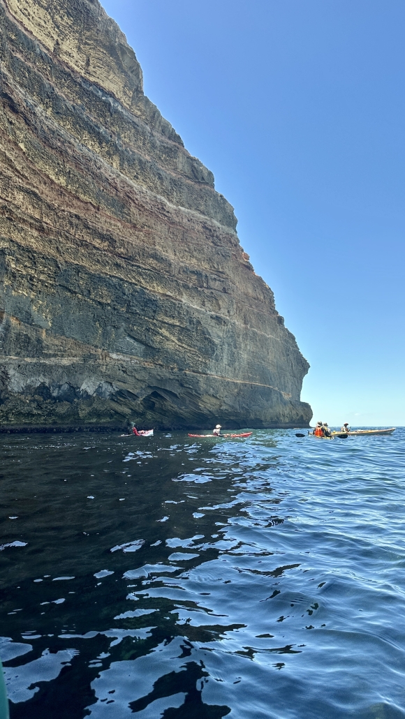
Looking for a place to land

Leaving Parsons beach, we realised that landing at Tunkalilla beach with this size swell would be very difficult. There were two options, Callawonga and Ballaparudda beaches, just prior to reaching Tunkalilla. Arriving at Ballaparudda, the closest, 23km from Victor Harbor, it looked quite manageable. We decided that this would be tonight’s camp.

Tresh, Gordon, and Pat successfully made the first landings. Then Karl, I, Giresh, and Phil attempted landing. All capsized in the difficult conditions. Phil’s kayak nosedived into the sand bar causing a fatal fracture in the bow. The kayak was then swept into the rocks on the western shore. All in all, with four in the water it was a disastrous landing attempt. No one was hurt and all gear was salvaged beside the fatally damaged kayak.
Thoughts were with Phil as he had planned the expedition and now, he would have to abandon after only one day on the water.

With Karl’s local knowledge, he managed to wrangle access for his daughter, Sahara to drive down the beach through paddocks to extract Phil and Pat and their kayaks the following morning. Once things settled down, a comfortable campsite was established, and much discussion of the days adventures was had around the campfire.

Day 2, Saturday – Ballaparudda Beach to Pink Bay via The Pages

North Pages

With a healthy respect for Ballaparudda’s sandbar, the remaining paddlers said their farewells to Phil and Pat and headed out through the surf zone one at a time, Tresh leading.

Within 30 min all were out and prepared for the 16km paddle to North Pages Island in calm conditions with virtually no wind. We were heading slightly east of the islands to counter the flooding tide which worked perfectly, paddling in a tight group, and chatting, we headed south. The closest island was reached in 3 hours and there was a reasonable swell running. A fishing boat was anchored nearby, and we explored the lee of a barren, guano covered, granite island. Australian Sea Lions, screaming Gannets and Terns greeted us, this is a wild place!
Heading around the eastern side to the southern islands, we encountered clapotis waves which kept us very alert. As we paddled between the islands, large boils were appearing indicating submerged bombies. Not a place to hang around. The southern island had a lighthouse and tower. It seemed smaller but just as inhospitable. There is meant to be a place to land on one of the islands, but it was not obvious. A quick feed and discussion and we then headed to Cape Willoughby, 16km away.

To Cape Willoughby

For the first hour we had amazing conditions, blue sky and oily seas and paddling with a flood tide, 7 kph was a comfortable pace. We noticed the tide was drawing us towards Antechamber Bay and on this course, we were potentially going to run into a dangerous shoal called “The Scraper”. Gordon made the decision to head for Cape St Albans. The sea and wind picked up as we got closer to St Albans. We were then working hard against the flood tide to try to get to the cape. The tide was about to change but we were fighting a strong current. My computer was telling me we were not making much headway.

Once we got close to Cape St Albans the tide went slack and we had a beautiful 4km paddle along the cliffs to Pink Bay in the late afternoon. A 16km paddle turned into 24km taking 4.5 hours.

Pink Bay is paradise! (don’t tell anyone). Camp was set and I found out that I had left my tent poles and pegs back at the previous camp. Ben Weigl joined us, paddling from Cape Jervis to Pink Bay in 4.5 hours. He, Tresh, and Karl were going to leave us and explore the south coast of KI the following day, Giresh, Gordon, and I were heading to Antechamber Bay. A beach campfire rounded out a big eventful day.

Day 3, Sunday Pink Bay to Antechamber Bay

Pink Bay from Gazebo

We bid farewell to Tresh, Karl, and Ben at 9am the next morning and we went for a walk to Cape Willoughby. From the lighthouse we could see the trio sailing towards Cape Hart, an awesome sight.

We spent a leisurely morning exploring the lighthouse and surrounds returning to camp for lunch and a departure to Antechamber Bay by 1pm to catch the end of the flood tide. It was nice to have a bit of a rest day and only a couple of hours on the water. Passing Cape St Albans was exciting with lots of turbulence and at times travelling with the flood tide at up to 9.5 kmph. An awesome beach camp was made in Antechamber Bay on a glorious afternoon. A walk up the river and through the campground then back along the beach was the end to another perfect day.

Day 4, Monday – Antechamber Bay to Second Valley

Steam rises from the sea at sunrise, Antechamber Bay

Phil had contacted us and had decided to paddle down to Cape Jervis (from Second Valley), wait for us and complete the final leg together. The tide was due to flood at 10.30am. Gordon recommended that we head off at 9am and get as far across Backstairs Passage before the flood tide kicked in and assist us to Cape Jervis and beyond.

The sea was like a mill pond and the first 2.5 hours were a dream. But nothing is ever that easy. 8km from Cape Jervis, a 15kt (27km) northerly head wind blew against the flood tide. The sun was in our eyes and the sea was a crazy mess. It was a tough 1-hour + slog to the shelter of Cape Jervis. It felt like we were not moving but with the flood tide we were easily travelling at over 7kph and at one stage at 10.5kph. What a relief it was to paddle into the harbour and meet Phil, who was lounging on the beach in glorious sunshine. A stark contrast to where we had been.

After a 1-hour break, we headed around the corner and into the gulf. The plan was to camp on Morgan’s beach or a smaller one further north but because of the long weekend, Morgan’s was crowded with car campers. So, we decided to press on and with light winds, sunshine and a following tide, paddling cannot be better.

Because of the high tide the second beach option was not suitable, so decided to press on to Second Valley. We landed at 5.30pm on a balmy evening, finishing the expedition with the final night spent in Giresh’s holiday shack. Perfect.

Overall Statistics

  • Day 1, Friday – Victor Harbor to Ballaparudda Beach – 4 hrs, 23km
  • Day 2, Saturday – Ballaparudda Beach to Pink Bay via The Pages – 7.30 hrs, 40km
  • Day 3, Sunday Pink Bay to Antechamber Bay – 2 hrs, 10km
  • Day 4, Monday – Antechamber Bay to Second Valley – 7.30 hrs, 40km
  • Total distance travelled 113km,
  • 21 hours paddling including breaks on the water.
  • Average moving speed 5.8kph over the 4 days.

Through Chowilla

Four day downstream meander in the creeks of the Riverland, 7- 10 Apr 2023

The River is Green

Five kayakers headed up to the Riverland to inspect the aftermath of the recent floods by paddling all the backwaters from the Chowilla Reserve back to just before Renmark, a distance of 68kms. Happily we can report that the river levels are back to normal, most businesses are open, and the whole area is looking magnificent: I have never seen it so green with so much bird life. If you can, get up there to have a look, the floods have done wonders for the countryside.

Good Friday

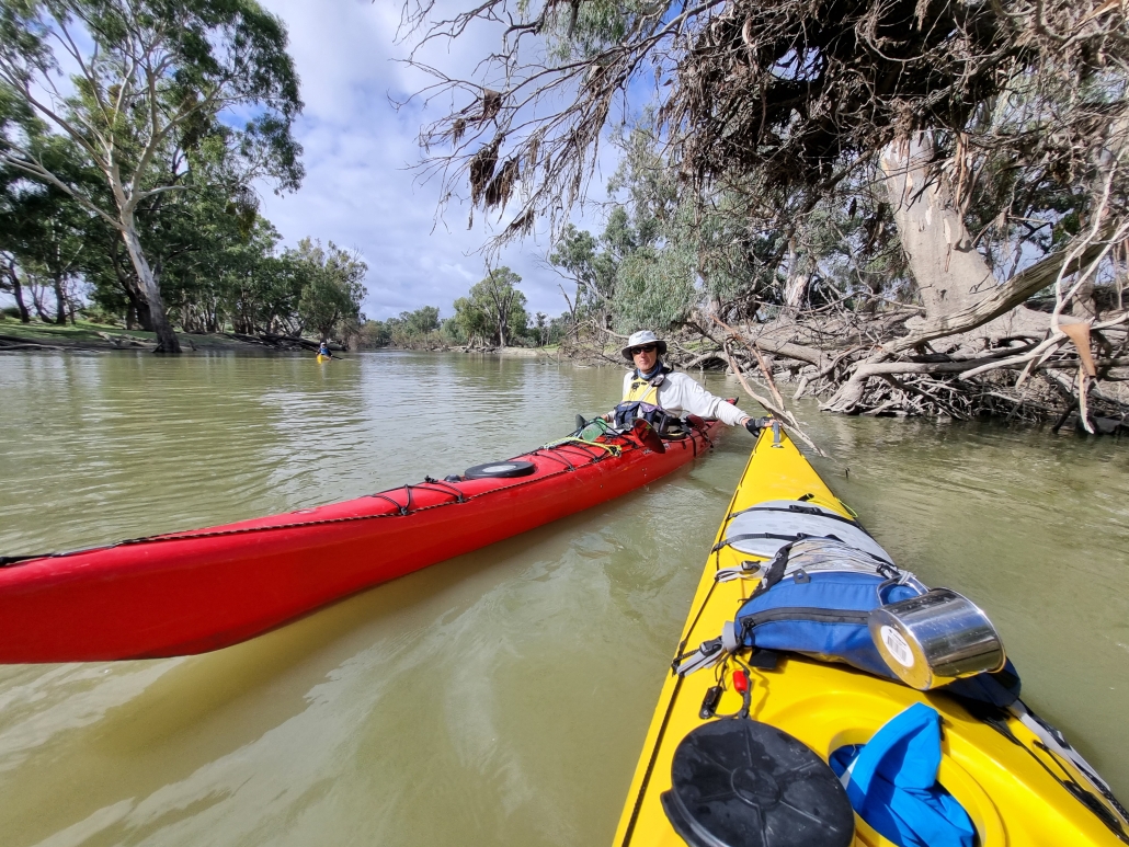
Charlie in the MurrayWe started our trip on Friday lunchtime from the launch spot near the Customs House Houseboats, crossed the river to get into Suders creek and off the Murray as soon as possible. Suders creek was its normal fast-flowing self, but now (thanks to the floods) with a new tree stuck right in the middle of the channel at the fastest spot, with associated eddies. This resulted in one capsize and a few near misses, not a good start to the trip! After getting organised again, we continued down the creek, avoiding the many snags to set up camp on Chowilla creek.

Leisure Saturday

A leisurely start next morning saw us paddling slowly down Chowilla creek, assisted by the current while we watched the scenery. A pair of wedge tailed eagles was spotted, along with many straw-necked ibis and the more common sacred ibis. We were also fortunate to see a lot of Black-tailed native hens, which we have never seen before. Apparently they are nomadic and take advantage of temporary wetlands, so the conditions after the floods must be ideal for them.

At the end of Chowilla creek we reached the Murray and turned left for a few kilometres to look for the next creek which would take us into Hunchee, and then RalRal creek. We stopped at the Chowilla Woolshed for lunch, where the full extent of the flooding became apparent; we were sitting on the bank at least 2 meters above the river, and could see the flood marks another 1 meter up on a building. Trying to estimate how wide the river would have been at the level was truly scary, I’m sure it must have been difficult to even find the main channel of the Murray at that level.

A Short Shower on Sunday

The third day dawned cool and overcast as the others had, but this time we were treated a short shower of rain, luckily we were all in our kayaks with wet weather gear on so we didn’t get much wetter than we already were. After turning off into RalRal creek we had a short detour to have a look at Lake Woolpolool, but the water levels were already too low to get over the regulator and into the lake itself. Maybe next time.

Portage in ChowillaJust after that there was a bit of excitement where the creek narrowed into almost a small rapid under a low bridge, with a tree waiting in the river downstream. With memories of Suders creek still fresh in our minds, some of us opted to do a short portage to avoid the obstacle, while the rest of the group took it in turns to carefully paddle through. Luckily it wasn’t as bad as it looked and no-one else went swimming.

After a leisurely paddle down the RalRal Wide Waters (which is actually a lake wider than the Murray itself), we found the entrance to Nelbuck creek and set up camp for the night. Peter put out his yabbie net and managed to supplement dinner with 2 nice size yabbies, although cooking them in a small hiking stove was a bit of a challenge.

Wrap up Monday

Next morning we continued down the creek back into the Murray and had a brief stop at the old Woolenook Internment Camp from World War II. Nothing much is left of it now except for a few plaques, but worth a look.

Another kilometre or so down the Murray and we found the imaginatively name Inlet creek, which we followed into Horseshoe Lagoon, and from there navigated our way through the creeks and lagoons back to Canoe-The-Riverland, where Ruth and Jim had kindly let us leave one of our cars for the shuttle back to our launch spot.

If you feel like a paddle in the area, be sure to contact them. They do organised tours and kayak hire, and have the best maps of the area: https://www.canoetheriverland.com/


Departing from Cape Jervis

Crossing Backstairs Passage – Cape Jervis to Antechamber Bay and Return — 18/19th March 2023

The adrenaline has finally stopped racing through my veins to allow me to tackle the promised trip report of our crossing of Backstairs Passage to Antechamber Bay and return on the weekend of 18/19th Mar 2023. What a paddle, with a SE gusting to 20Kn and seas over 2m at some stages. All paddlers did extremely well without any incidents, but special recognition should go to our two crossing first-timers: Abelardo Pardo and Simon Delaine.  Talk about jumping into the deep end!  Conditions in Antechamber Bay didn’t look too bad at departure, but steadily escalated during the return crossing.

Preparations

It was a great turn-out with twelve (12) paddlers participating. The trip was led by Phil Doddridge with Charlie Walker, Matt Eldred, Mark Loram, Mike Dunn, Peter Vincent, Anthony Aardenburg and Bella, Tresh Pearce, Abelardo Pardo, Simon Delaine and recent member Karl Meyer following Phil’s lead. Similar to our crossing in March 2022, the trip was aimed at demonstrating the splitting of the tide to achieve the most efficient crossing.

Four of the group (Mark, Simon, Abelardo and Phil) drove down on Friday Night and camped at the Cape Jervis Caravan Park ready for an early morning start. We used this site when training for our Bass Strait crossing and had fond memories of relaxing amongst the pines at the rear of the Park overlooking Backstairs Passage.

A lovely evening soaking up the view and not a ripple seen looking over to Penneshaw. In the evening the highlight was looking up towards the sky and counting the satellites passing overhead – I have never seen so many, there seemed to be a continuous stream passing just below the Southern Cross. A strong wind came up overnight which eased in the morning, but which probably should have been a warning of an approaching front.

Day 1 — The easy one

Enjoying the crossingUp and about around 6am and met the remainder of the group at Cape Jervis Boat Ramp in time for an 8.30am on-water start.

After loading kayaks (I overdid the equipment list again!) and after the safety briefing from Phil we set off at about 8.45am, following the coast east to Lands End to avoid the ferry’s path. We then set our bearing for Cape Coutts and headed out on our adventure, with a few whitecaps between us and the safety of Antechamber Bay; just east of Cape Coutts we were on our way.

A pleasant paddle across but no wind advantage which disappointed those with sails in the group, just a solid slog for 5 hours before we made Antechamber Bay, even explored a bit of the sandy beach to eventually reach Chapman River. Just checking that the mouth hadn’t moved!

Many hands made light work of the portage across the beach and we were soon paddling up the picturesque Chapman River, admiring the paper bark trees and new bridge as we approached campsite no 12 that Mike had kindly booked.

Setting Camp

After setting up camp most of us relaxed, enjoying the location while others went paddling to explore the upper reach of the Chapman River.

Once again the campground was pretty busy so we made an early appearance at the camp kitchen, admiring the stunning views. We had a very pleasant evening there – night solar lights might be handy, a note for future trips! The kitchen is very well set up and we spent the evening discussing kayaking adventures while being entertained by Tresh’s attempts to get his cooker operational.

Soon after we turned in and slept well, being serenaded by several Boobook Owls during the night. In the morning some fairy wrens visited, very elusive but I did manage to get a couple of pics as they checked out my tent.

Day 2 — The not so easy one

On our way to Antechamber BayNo rush in the morning with the plan to be on-water in Chapman River by 10am, bit of drizzle overnight and the additional time was put to good use sponging the tents and gear and getting packed up.  We said our farewells as we paddled under the KI version of Sydney Harbour Bridge and down to the mouth for another portage. The waters in the bay looked calm but the forecast for the crossing was increasing winds 15 to 20Kn SW. The sky towards Deep Creek threatened to bring squalls during our crossing.

The briefing was a bit somber and Phil gave the group the option of returning via the Penneshaw ferry instead of attempting a borderline crossing – we all mulled it over but the mutual decision was to paddle the return as the group was fired up to complete the crossing. These sort of situations are always difficult with experienced kayakers, particularly with several having done crossings in similar conditions.

We split into sail-assisted kayaks and those just going with the swell, although on the starboard beam. We headed off together before separating into two groups, with those sailing heading directly across the passage towards Deep Creek before following the coast back to Cape Jervis while our group of five (5) made a beeline for Cape Jervis. There was no time to relax on the four (4) hour return paddle, it certainly required continuous attention.  Phew, all back in the safety of Cape Jervis boat ramp by 3pm.

Arrived

Together in the bakerySunday’s return crossing was by far the most challenging that I have done and I breathed a sigh of relief when we all arrived back at Cape Jervis safely, with the sailors having arrived about 15 minutes prior to the non-sail group.

Looking back, the return paddle was probably borderline, but to achieve the crossing without incident is a credit to the experience within the Adelaide Canoe Club. This is due to regular sea kayak training provided to Club members over several years particularly from Phil Doddridge, Bernard Goble and Peter Carter. All of the group are also regular paddlers, both at Club events and privately, regularly working on improving their skills. The paddlers conducted themselves in a very professional manner exhibiting a good appreciation of group dynamics to ensure we all remained safe.

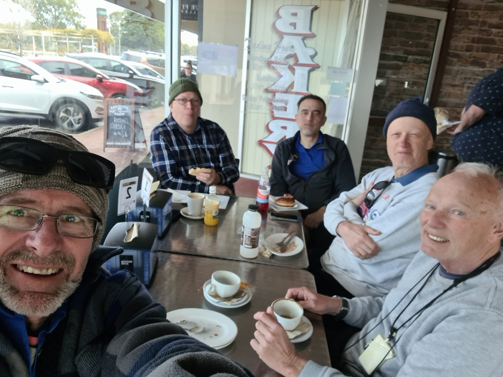
All of us wanted to celebrate and swap stories, so we adjourned to the Yankalilla Bakery to debrief. And yes, the adrenaline was flowing strongly for quite a while afterwards!

Sunset at Murrumbidgee River

Murrumbidgee River, Darlington Point to Hay, 30 Jan – 4 Feb 2023

A good week in the oasis of the Murrumbidgee River

Anne and Simon Langsford lead a fantastic trip down the Murrumbidgee River, from Darlington Point to Hay. Paddlers included Berny Lohmann, Robert, and Robin Phiddian (AKA Rob & Rob), Terry Holder, Courtney Kirkwood, Simon Delaine, Hugh Stewart, and Peter Vincent. The group met at the Darlington Point caravan park on Sunday evening after a car shuffle that left two cars at Hay. It had been raining much of the late afternoon.

A bumpy start (Monday)

The weather cleared overnight for a 9 am start on the water, after parking the cars. Anne and Simon L gave a briefing about what to expect for the trip, including the dangers of snags lying under the water. The group slid their kayaks off the muddy banks, gathered in the water, and set off, passing under the Darlington Point Bridge. The river was flowing at a good pace, and it was nice being able to coast and watch the trees go by. But soon whistles were blown, and we turned to see an upside-down kayak! Robert had been pulled into some bushes and capsized.

Simon L, tailing the group, swiftly rescued Rob, and his kayak, though Rob’s paddle was lost in the roll, likely dragged underwater and lost in branches. The group continued down the river, learning how to spot dangerous ripples in the water. Unfortunately, one was spotted too late, and Terry badly hit a snag on the side of his boat which soon began leaking. We applied duct tape  as a temporary repair, luckily mostly holding for the remainder of the trip. We made camp after 36km.

Days without incident: 0 (Tuesday)

Another 8:30ish start on the river. A smooth day of paddling until Terry capsized on a snag after lunch. This got us accustomed to calling out snags as some can be easy to miss. Bird life was proving to be wonderful. Australasian Darters were spotted, and Rainbow Bee-eaters visited our camp late in the evening. Despite a shallow stream of water flowing right beside our camp, the mosquitos were not as bad as we had feared. This was a theme for the whole trip.

Getting into the groove (Wednesday) 

Last night ‘boat-monitor’ Berny heard water lapping at the kayaks, so he rose to shift some forward. Each morning it was clear the water level had risen. Being day three, everyone was quicker getting their boats packed. Saw the first small motorboat of the trip. We came across some shortcuts on the river which we took advantage of after checking enough water was flowing through. Peter, in his durable plastic kayak, checked on one shortcut but had to turn back. We had westerly winds for much of the day and by the end most people were getting exhausted. Started looking for campsites, but a few good options had houses nearby. Eventually found a suitable camp in a small forest reserve after travelling 43km. Many of us enjoyed a refreshing swim close to shore where the current wasn’t too strong.

Halfway (Thursday)

I (Simon D) didn’t check the elevation between my tent and the river last night. Turned out it wasn’t much, and the rising water got very close! Another quick getaway this morning and we soon passed a bridge marking the very approximate halfway point. It was a windy day but luckily there weren’t too many straight sections of river, plus everyone’s fitness levels seemed to be rising so we were mostly able to power through it. Rob & Rob were doing a remarkable job keeping up in their much smaller 12ft Carolina Perception kayaks. Saw more birdlife today, including Yellow-billed Spoonbills, Sacred Kingfishers, and Peter was excited to spot a White-bellied Sea Eagle after spotting them on previous trips. We made camp after 42km, landing on a beach beside a large, forested area. Some enjoyed another swim and wash. The wind became quite intense in the evening, and we retreated to our tents for an early night.

‘Love the fallen tree’ (Friday)

It was a very windy start to last night but not all of us had the same experience. Hugh had his tent flattened soon after getting to bed, yet Terry said he heard the wind but barely felt it. The day started with action when Courtney backed up from shore into a branch and capsized. Luckily her insulated coffee floated. The wind was still blowing so she put on a cag to prevent wind chill. Today was forecasted to be the windiest day and it felt like it.

We came across an interesting section of river where a tree had fallen most of the way across. Peter and Berny were up the front and chose a zig-zag route to the right. However, the middle route at first look seemed viable. Courtney was next and chose the middle section but found a large log laying just beneath the surface. Fortunately, she acted quickly, remembering the advice given at the start of the trip, and leaned into the log to prevent the flowing water from capsizing her boat (a technique known as ‘love the rock’ in white water kayaking). She did well to keep calm while flowing water kept her kayak pressed up to the log, as Simon L and Peter devised a rescue plan.

After Peter traveled back upstream, Simon L attached a rope between Peter and Courtney’s boats. Some hard, upstream paddling from Peter eventually freed Courtney’s boat from the log. A good rescue effort. Though slower in the straight sections, Rob and Rob’s shorter, plastic kayaks cruised through these tight sections. At lunch break Simon L had the group discuss what happened. We reflected on how crucial the ‘love the rock’ technique was in that situation as it’s unknown how big that log was or what lay beneath the surface. In future tight sections, we held paddles above the head horizontally, earlier, to hold the group back while the front-runner (mainly Peter) found a safe route.

Back on the water after lunch, we heard barking dogs by a house and Anne said on the last trip the dogs tried to herd them off the river. This time we sneaked by without the dogs noticing. During the afternoon tea break, we discussed how much longer to continue as campsite opportunities would become less frequent the closer, we got to Hay. A short, sharp shower fell after setting off for the final leg before camp.

After 41km we pulled onto a wide beach for camp. The weather was kind enough to let us set up tents before unleashing wind and rain. Simon L set up a tarp for the group to shelter under, and this action seemingly stopped the rain. Turned out this campsite is a bit of a rookery for White-necked Herons now, with many nests scattered high in the forest. These White-necked Herons were abundant for most of the trip, taking advantage of all the recent wet weather.

Back to civilization (Saturday)

A perfect start to the final day. The wind and rain of yesterday had mostly subsided and the sun was out but not too hot. We pulled up for morning tea on a beach about 18km from Hay. Anne said they’d tried to camp here on a previous trip but were told to move on as the farmers were planning a party. Hugh, Peter, and I decided to sprint the final stretch into Hay. The whole group made it into Hay by around 1:30 pm after 30km. People were relieved to have made it and surprised by how fast the trip went. Simon L looked after the kayaks while Anne and Berny drove everyone else to pick up their cars from Darlington Point. The group farewelled Rob & Rob and the rest drove back to Hay for a pub dinner at the New Crown Hotel. Now, off to clean a muddy kayak.

Kayaks in the beach in Coffin Bay

Coffin Bay — 7-11 November 2022

Head wind

The weather forecast for the week at Coffin Bay National Park was looking great as Bernard, Francis, Charlie, Marina and Anne set off from Coffin Bay township on Monday 7th November. With a 10-15 knot north easterly wind we paddled along the cliff edge on the northern side of the Bay We gained some advantage from the easterly component and sheltered from the northerly aspect until we crossed Mount Dutton Bay. The wind hit us again as we crossed above The Brothers Islands and made our way along the coast to Black Springs campsite. It wasn’t long

Seal behind a 2 person kayak with two sails up

Seal playing with the kayak at Coffin Bay

before we had set up camp and were relaxing.

Trying to get to Point Longnose

The plan for Tuesday was to paddle around Point Longnose and make our way to Morgans Landing camp. However, the forecast calm wind turned into at least 15 knots from the north and the swell was predicted to be about 2m. We battled into the head wind through the oyster farm to Point Longnose and beached the kayaks on the more sheltered side. Francis and Marina looked after the boats while Bernard, Charlie and Anne went to check conditions on the exposed side. The wind was very strong and it was whipping up waves which would have been breaking side-on to us along Seven Mile beach.

Back top Black Springs to see the eclipse

To continue would have given us about 12 km of very difficult paddling so we decided to retreat back to Black Springs. While we were checking conditions around Point Longnose a large wave and strong gust launched Charlie’s kayak back into the sea and quickly took it out of reach. Marina jumped into her kayak and managed to grab it but without a tow line to return it to the sandbar. She was stuck in waist deep water with a deep trench between her and the sandbar. We needed to work out how to reunite Charlie and his kayak. Bernard and Frances managed to ‘deck carry’ Charlie out to Marina and then it was easy to get everyone back into kayaks.

Moon eclipse in Coffin Bay

Moon eclipse in Coffin Bay

The strong northerly wind made sailing back a great option for those with sails. Anne and Marina decided to go around the coast while Bernard, Francis and Charlie planned to sail directly back. Luckily we did a radio check before we split the group and we had not gone far when we had radio contact that Charlie’s rudder wasn’t working and we collected together on the beach for repairs. That sorted we returned to camp, more or less as a group with some sailing nearer camp. In the evening as we walked along the beach we noticed the moon rising, but it didn’t look right. We checked Google and discovered we were seeing a total eclipse of the moon in progress.

Heading back

Wednesday’s winds were predicted to be even stronger and we woke up to rough seas and about 27 knot winds so we opted for a bushwalking day and visited the lookout to Black Rocks in Avoid Bay. We walked a little further along the cliffs and found an enormous Osprey nest perched on a rocky island, with the resident bird standing on top of it.

The wind forecast for Thursday was a westerly (tail wind returning to Coffin Bay) and Friday was back to easterly (head wind returning to Coffin Bay) so it didn’t take much discussion to pick Thursday as our last day. With a good tail wind we made our way along the coast then across to The Brothers Islands to check on the birds and seals there. There was one seal that swam around our kayaks checking us out as we photographed it.