Chowilla — 8 – 10 March 2025
Careful Planning
We carefully planned the trip for just after summer to avoid the heat. Unfortunately mother nature did not cooperate, with forecast temperatures of 39 degrees. Six intrepid paddlers decided to brave the heat and go anyway. Luckily for them as the weather was not as bad as expected. We had mostly overcast days and a bit of wind to keep us cool, especially after a refreshing dip in the river.
Starting at Customs House
 We arrived at the launching spot near Customs House Houseboats about midday on Saturday. We quickly unloaded the kayaks from the cars and packed, as we were all eager to set off before it got too hot. A short paddle across the river, and then we let the current take us down Suders creek to get to Hypurna Creek. This was not as eventful as it normally is. The big tree which normally blocks the creek seems to have been washed away which made the trip down relatively easy.
We paddled up Hypurna creek for another 6kms or so to get to our campsite. This was slower going than anticipated due to the lower water levels and increased number of fallen trees. Last time we paddled it, it was in flood, and we had trouble finding where the creek was.
 After finding a suitable campsite we pulled up and set up camp. We soon put up tents, inflated mattresses, assembled tables and chairs. After such effort, we took a cooling swim in the creek, disturbed only by the shrimps nibbling on your feet if you stayed still for too long.
Circular Day
Next day we left the camp set up and paddled off in un-laden kayaks for a (hopefully) circular route to get back to the camp by a different creek. We continued up Hypurna creek for another 6kms, navigating an increasingly congested creek until we joined Salt Creek, which was wider but was just as congested. Another 3km of fallen trees and snags and we finally reached the Murray River, where we had a well-deserved lunch break, and another swim.
After lunch we set off down the Murray, finally paddling with the current. After 6kms of relaxing, un-congested, snag free paddling we reached the entrance to Wilperna creek, which would take us back to our camp, provided we could get through it!
 Luckily Wiperna creek proved to be mostly clear despite being narrower than all the other creeks we had been through. Mostly clear. Right at the end, 100 m from the camp, the creek was completely blocked by a large fallen tree, necessitating people having the climb out of their kayaks, onto the log, drag the kayak over the log, and then climb back in again. Some people opted to skip the last step and just walked back to camp while the kayaks drifted back.
After another cooling swim, some red wine and an early dinner, we watched the sun set before heading to bed for another warm night. I definitely over packed, didn’t even need a sleeping bag really.
Last Day
 Next morning we packed up the camp and headed off down Hypurna creek. This time with the current so all the obstacles were a bit easier to manage. We opted to do a short (100m) portage to get back to the Murray rather than try and paddle back up Suders creek. This wasn’t too bad despite the kayaks being loaded. Carry straps and six people per kayak made short work of it. We took the opportunity to have a final swim before setting off to do the final few kilometres to get back to the launching spot.
Upon arrival, we quickly unpacked and loaded the kayaks back onto the cars, as the cloud cover had gone, and the sun was starting to bite. We then headed back into Renmark to the nearest bakery to stock up on some unhealthy, but well deserved, treats before saying our goodbyes and setting off back to Adelaide in gloriously air-conditioned cars.


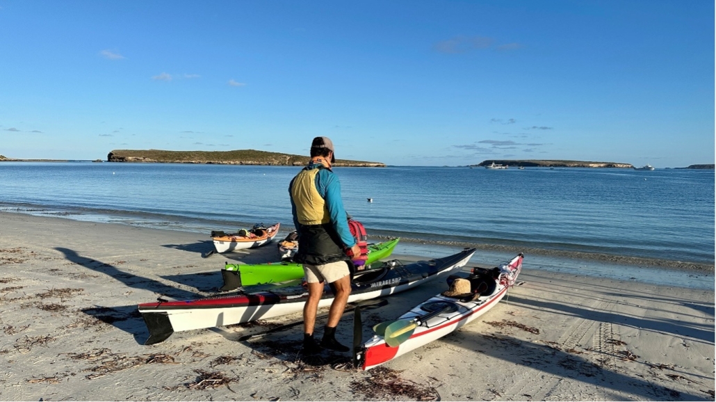
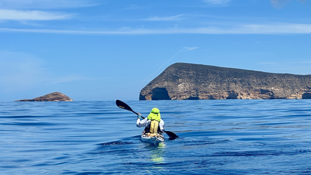
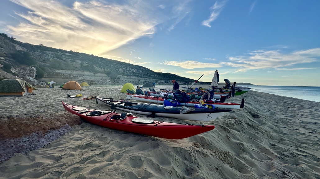
 This was another great day. We started with a slight side wind resulting in the occasional wave coming over the front deck but we were soon in the sheltered waters of the oyster beds (Coffin Bay’s famous industry). We stopped on Point Long Nose for a short break, congratulating ourselves on judging the tide and not running aground on its shallows. Our next stop was the whale skull, stranded quite high up on the beach. By now the slight breeze had completely dropped and we had glassy calm water as we paddled along the sand hills of Seven Mile Beach. Their colours and shapes make this section of the paddle very scenic.
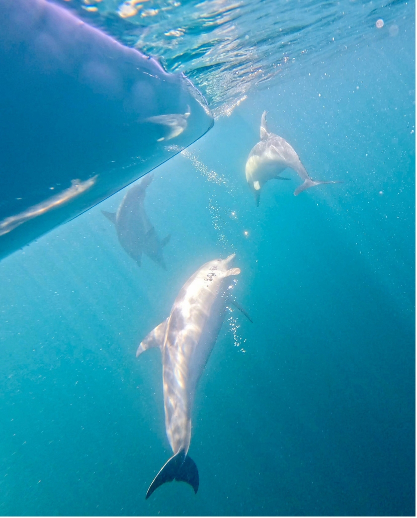
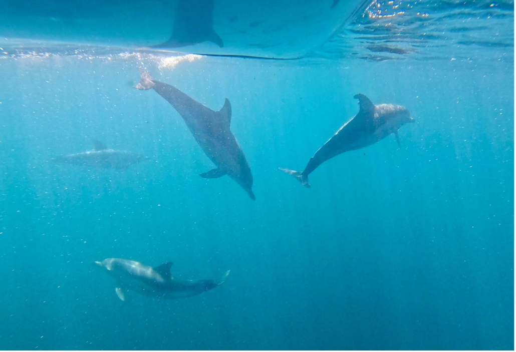
 The day started near perfect, and then the wind dropped further and again we had glassy calm, crystal clear water. The reefs part way along Seven Mile Beach called for another snorkel, rewarding us with lots of different fish. There was a large pod of dolphins feeding near us as we continued along the coast. It was time for lunch when we reached Point Long Nose but we had to eat standing up because the tide was coming in quickly covering the sand. Back in our kayaks the tide rushed us around the point then we headed back through the oyster beds.
 After hugging the cliffs for the first stretch of our paddle back we headed towards the Brothers Islands into a medium head wind. The shelter of the islands gave us a rest and a good view of a couple of big male seals. Luckily they were not interested in us. We timed our return to Coffin Bay township for the incoming tide so even though we still had a head wind we made very good time. After a much appreciated shower our day concluded with dinner at the Yacht Club again.
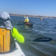
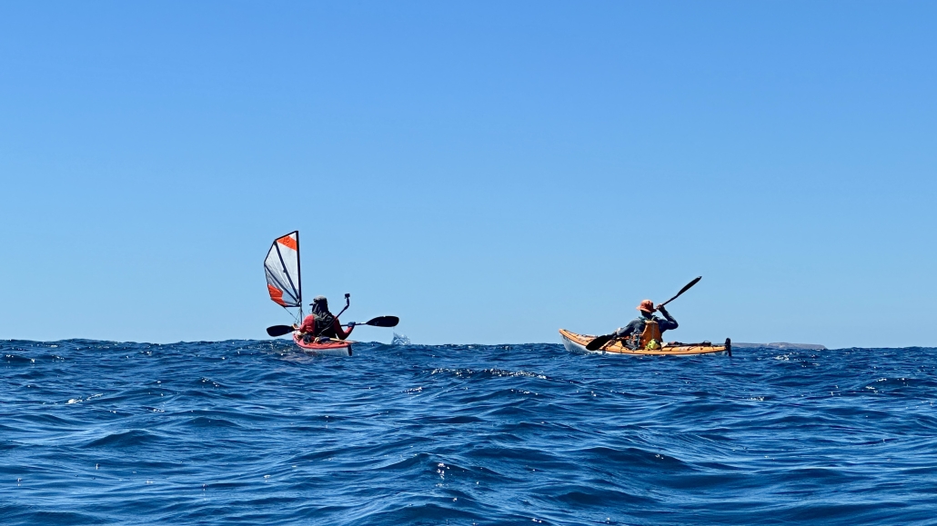
 We set off out the channel and followed the channel markers out into the gulf. We set off on a heading of 250M from the last channel marker and could see Port Clinton quite plainly. The wind was blowing at 15 kn pushing choppy wind waves under our Port side beam but it was quite manageable. The sea was the colour of an old flat white coffee with sea weed drifting by and the occasional large clumps giving a little distraction in the water. There were numerous white caps out on our port side with the occasional half a metre wave coming through causing the boats to yaw and buck a bit but nothing serious.
 It was nearly Low tide and the water was very low as we came up to the ramp. The give away sign was the yellow tractor 500 m from the High Tide mark standing out in the bay in 200mm of water. It was a long carry up the track to the beach. (Note to self – try to arrange for a High Tide if we do it again, Or bring a trolley.)







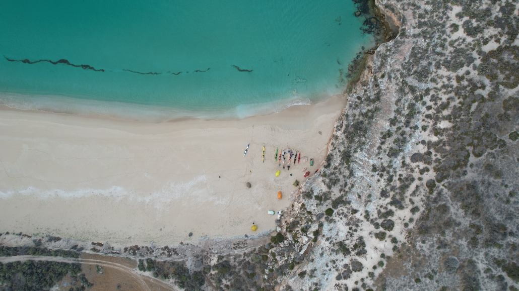

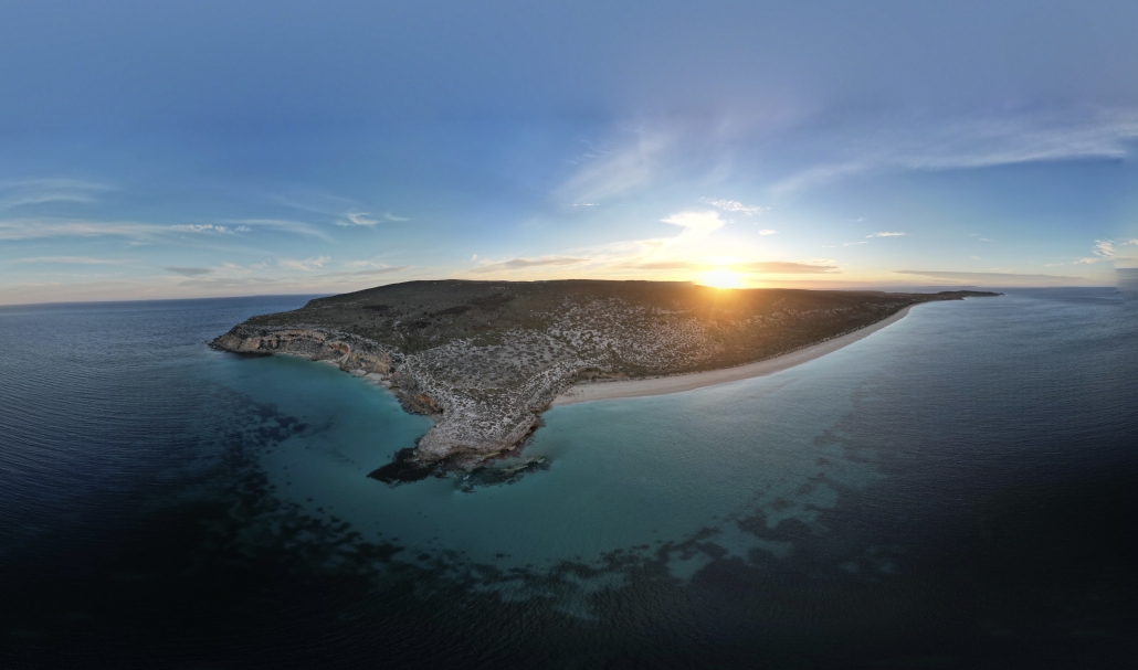

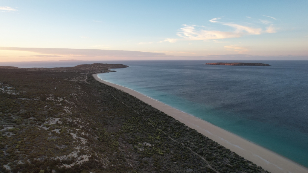






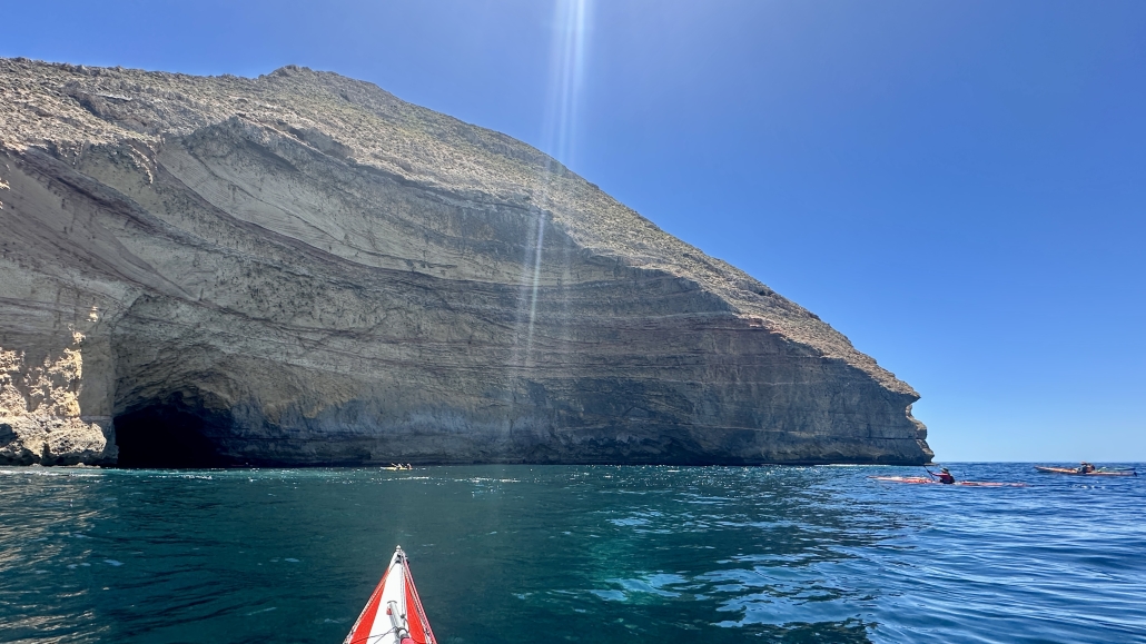

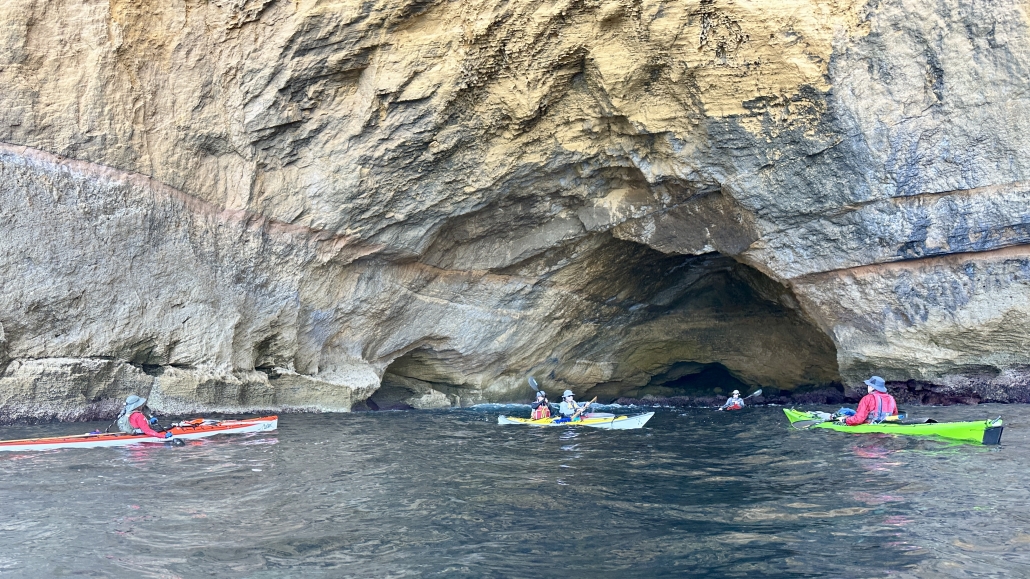

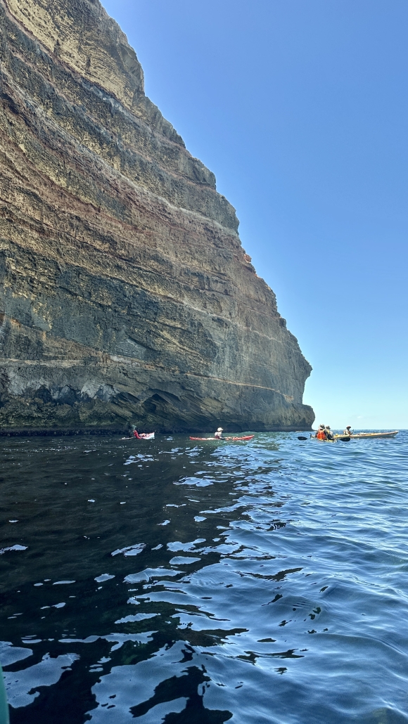
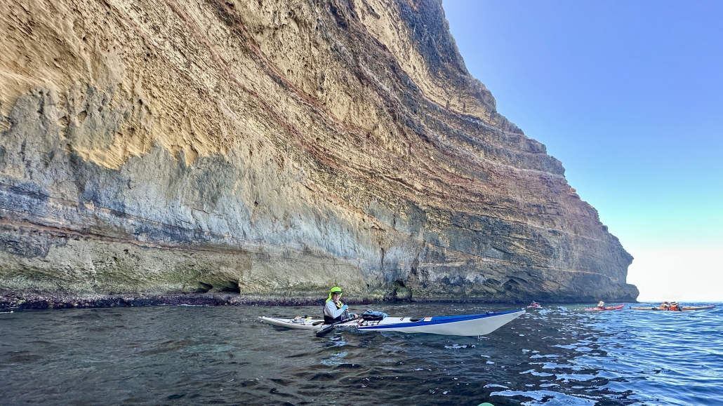
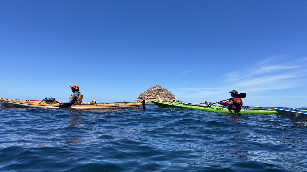
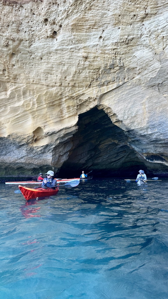


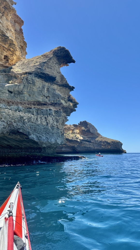


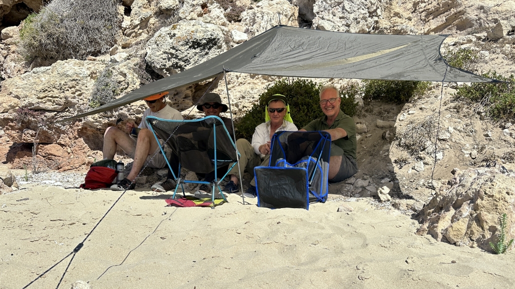







 We set up tents at the caravan park Monday evening. The fun started the next day with the traditional swim down the moving water, getting used to white water and practicing our throw-bag techniques. It became apparent that some of us indeed needed practice; others were spot-on with their throws.
 The next day saw us resuming play around the pumpkins; interrupted by a lightning storm. After lunch we packed boats onto the cars and took them to a launch point just below the dam. We paddled down the river, stopping to play on small waves and to harvest ripe blackberries.
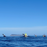
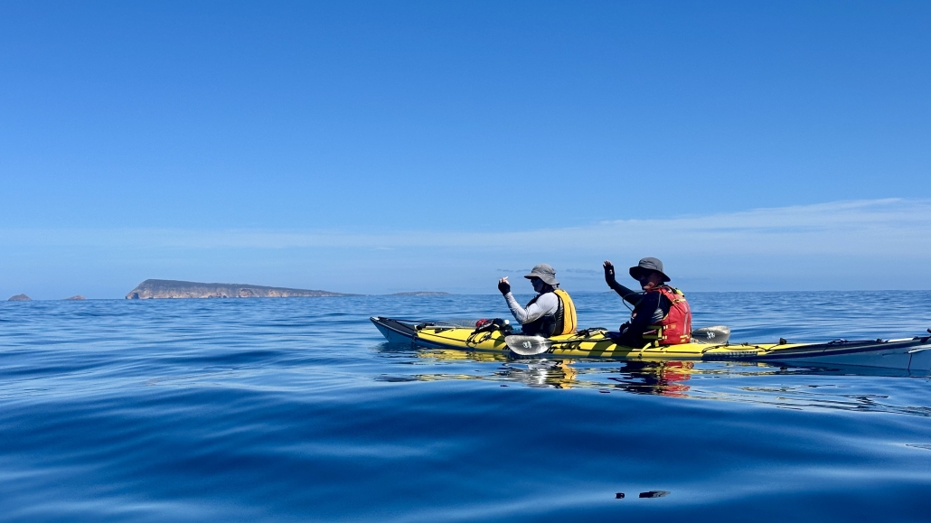
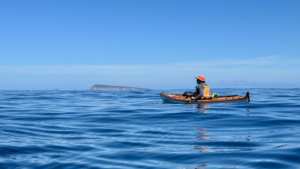
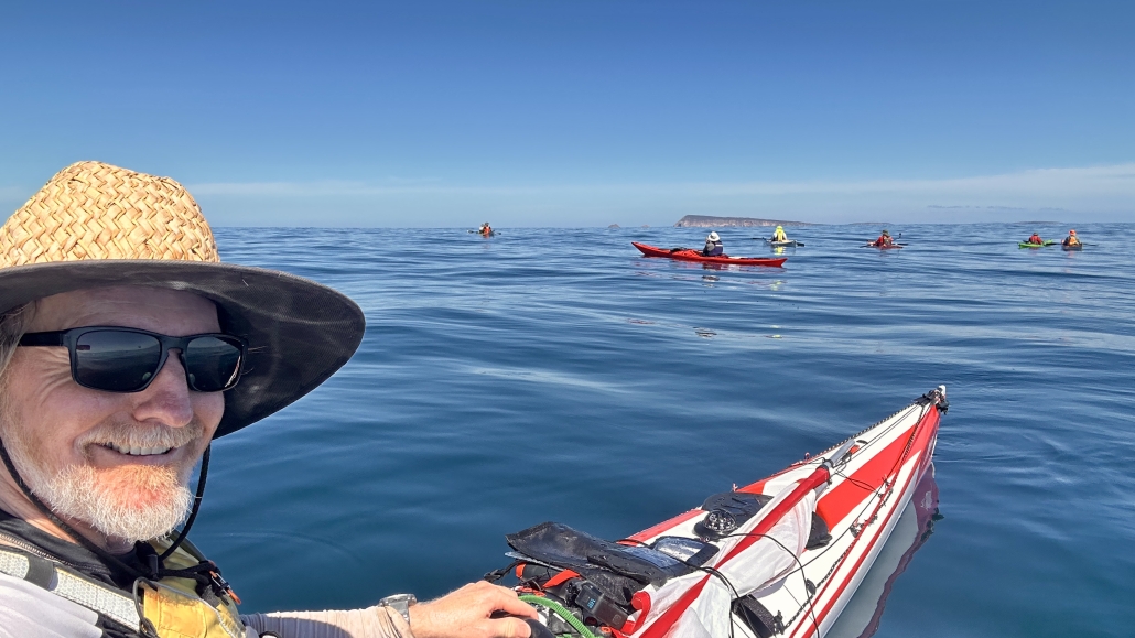
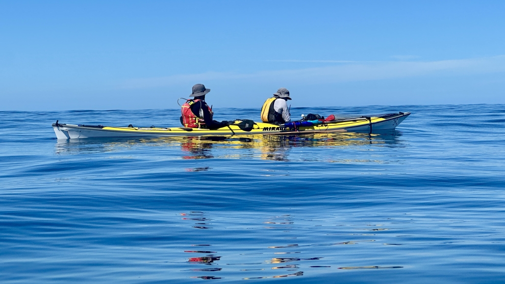
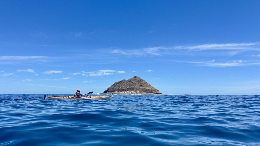
 With almost perfect conditions, the group enjoyed the serene views offered by the glassy water. At times, landmarks disappeared behind mirages, sparking conversations about this fascinating phenomenon as we paddled closer to them.
 The next day, the weather forecast predicted winds of up to 16 knots, but the reality was even more challenging, with winds exceeding 20 knots hitting the sides of our boats throughout the day. Despite the tough conditions, the paddlers handled them with expert skills, making for an exhilarating paddle across the rest of the lake. We travelled from the Narrows to Point Sturt for lunch and then from Point


 WOW what a weekend paddle to Antechamber Bay on Kangaroo Island we had. It gave us a bit of everything sea kayaking has to offer.
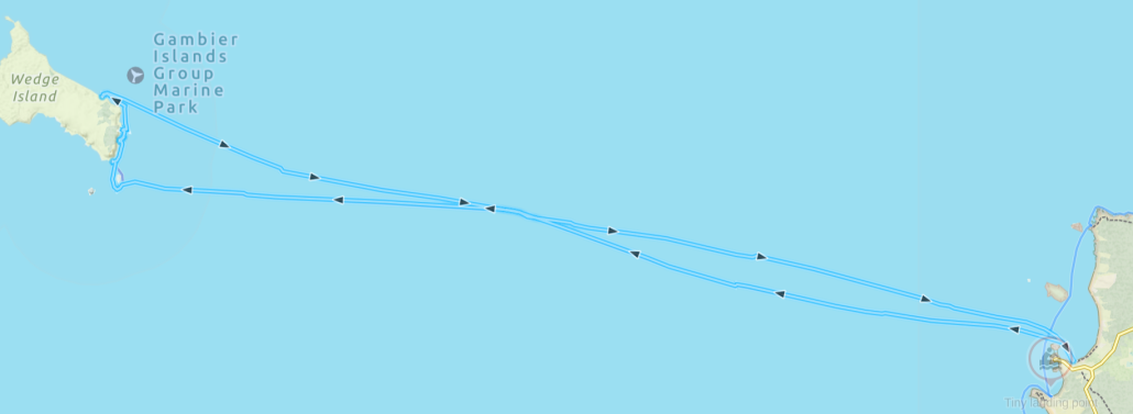
 And so it was…and for a short time conditions were above the forecast 12Knts, probably up to 15 with even some 18Knt gusts. These conditions challenged some of the group and progress was at times quite slow with Ryan suitably tested as leader in keeping the group together. As Backstairs Passage is a commercial shipping lane, kayakers need to stay in a tight grouping and less than 50m apart. This also applied to the mandated equipment the group required for such a paddle. We were in “unprotected waters” where for every 5 paddlers an EPIRB, flares, VHF and other equipment was required and the group must be within 50m of each other and such equipment.
 On the way across we split into two smaller groups. This decision was based on the fact that we had a diversity of sea kayaks in the group. Some very quick and others just quick. I believe all paddlers would have been working their bodies just as hard. It was just a fact that some of the kayaks travelled at a higher speed due to design. At the other side there was only about a 30minute difference in the time to complete the crossing.




 That afternoon we had a short paddle down Katarapto Creek to check out the regulator at the bottom of The Splash, which, to our alarm, was closed. This would mean a nasty portage in the coming days. We all retreated back to the campsite to discuss options around the campfire with a glass of wine.
 After a much dragging of kayaks over, under and around logs, we eventually got to clear water where the creek widened out into a horseshoe lake, which abounded with pelicans and other birds.
 Sunday morning we headed off in the other direction, down Katarapko creek. Everyone had fun running the short white-water section over the weir, and we let the current take us down to the massive regulator at the end of The Splash. This is normally open to paddle through, but the Parks Board had closed it off to create an artificial flooding event upstream. This meant a strenuous portage over the weir, luckily everyone was still fresh and the kayaks were unladen. The regulators are good for the river, but I wish they would consider the kayakers and give us some good access points.


