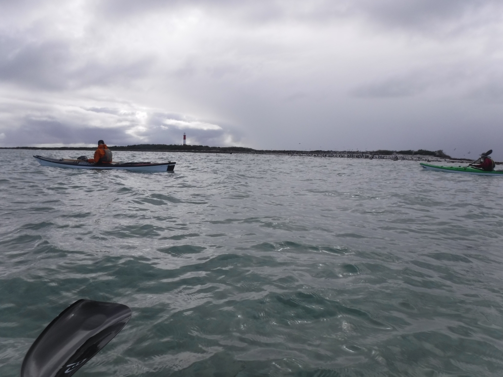
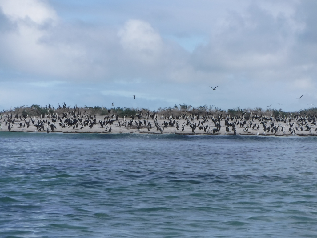
Murrumbidgee River; Darlington Point to Hay – Sunday 22 to Friday 27 Oct 2023

The group

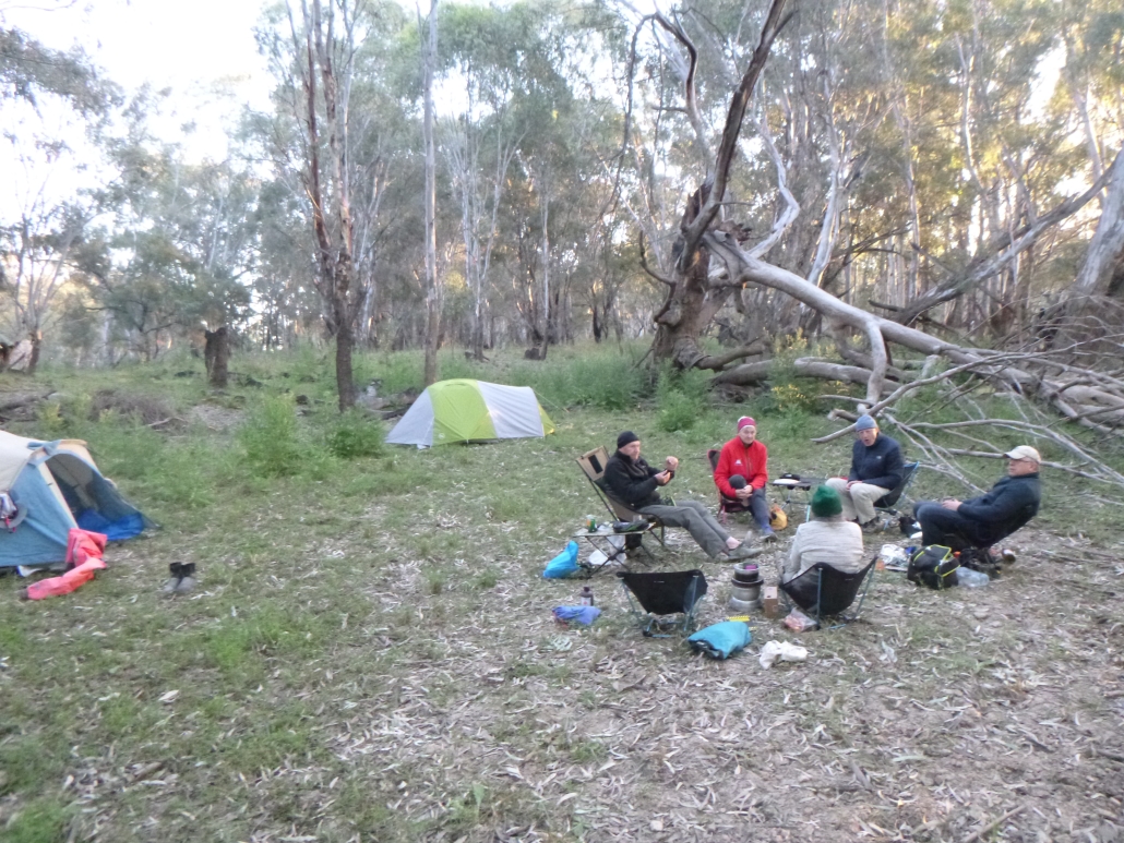
The Murrumbidgee River from Darlington Point to Hay is fantastic. The serpentine river ‘keeps you on your toes’ changing from peacefully calm, to requiring maneuvers past snaggy fallen trees and submerged logs. It provides stunning scenery, lots of wildlife including kangaroos and many different birds. The banks are covered with trees and there are beautiful campsites – what more could you want from a paddle?

Setting out

Bogged

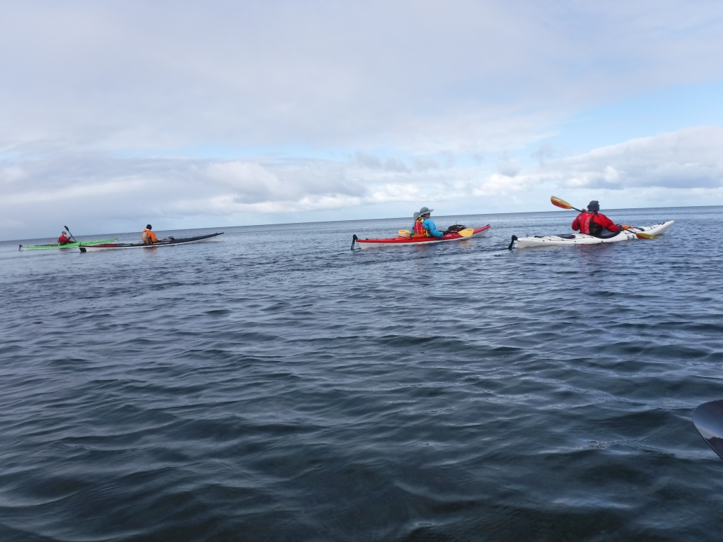
Charlie and Marina Walker, Berny Lohmann and Peter Drewry joined Simon and Anne Langsford for the 230km paddle from Darlington Point to Hay. We set off in perfect weather with the river running at about 2.5m depth and the flow pushing us along at an extra 2km/h. Being a weekend there were many other people out enjoying the river, camping and fishing. We came across a couple of blokes that had well and truly bogged their car trying to launch their fishing boat. We stopped to lend some assistance and our colourful kayaks helped their friend locate the bogged car. The car wasn’t the only thing we saw stuck. We passed a canoe and a sit-on-top kayak both very wedged in fallen trees. Charlie thought about rescuing them but decided towing them all the way to Hay would be too difficult.

Wildlife along the river

Kerarbury homestead

There were lots of birds. Most notable were the flocks on Rufous Night Herons that appeared from the dense foliage of willows and other introduced trees. There were also many White Faced Herons and a few Pacific Herons spotted. Of course there were lots of Cormorants swimming, catching fish or resting on the fallen trees along the river. This year we also saw many Yellow Billed Spoonbills and a very large flock of Black Shouldered Kites. Our days started with Kookaburras laughing at the sunrise followed by a huge variety of birds calling the morning in. Whenever we stopped there were Swallows darting around and occasionally we spotted Kingfishers.

Finding Kerarbury homestead

Portage with Charlie

Peter was on a quest to find Kerarbury homestead. His wife’s grandfather had worked there as a wool classer. He asked around Darlington Point but no one could help locate it until we met a local at the Punt hotel when we went there for dinner before starting our paddle. Now with the knowledge that it was either 15, or 50km down river we set off hopeful of locating it. On the second morning’s paddle we rounded a bend to see the magnificent homestead. We stopped and chatted with the owner so Peter could verify it was Kerarbury. Then it turned out that the current owner was also related to Peter’s wife. It is a small world!

Twists, turns, mud, wind and other fun

By road the distance between Darlington Point and Hay is about 115km; by river it is about 230km. The river twists and turns often and the recent floods have provided some short cuts. Berny enjoyed the fast flowing water through some of these short cuts. However, we did need a portage in one which had a tree right across the water. Further down the same ‘shortcut’ Charlie had to get into the water to push our kayaks over an offending log.

Peter and shoes

In places the floods had washed away parts of the bank exposing the intricate tangle of tree roots.

There were a couple of very windy days, over 20 knots, but the trees on each bank protected us most of the time. We had short spells of paddling into the headwind, but soon turned another bend and enjoyed a tailwind along the next stretch. Berny’s kayak was particularly stable in the short choppy waves whipped up when wind and current were in opposite directions.

There are lots of trees in the river, creating snags, so you can’t just watch the scenery or relax too much. Even though the front paddlers kept a look-out there were snags that either caught someone momentarily. This year the water level was dropping as we paddled down, leaving the once sandy beaches covered in mud. Peter found a particularly deep patch and had to hunt for his shoes which the mud had sucked off his feet. The retrieved shoes and Peter needed a good wash before joining us again.

Personal best records

Camp 5

This paddle saw ‘personal best’ records shattered. Peter did a PB for distance 3 days in a row and Marina achieved the furthest she had paddled for a trip on day 4 with 164km completed. She then paddled another couple of days to reach a new record, 230km. This section of the Murrumbidgee is a very looooong paddle but we all agreed it was an addictive section, ever changing with another beautiful spot around each of the many, many bends.


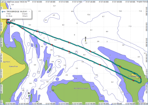
Image below links to the GPX file

Trip Map

St. Kilda weekender with overnight stay in Community Hall — Sat 9-10 September 2023

St Kilda Weekend History

Another great weekender out to St. Kilda was conducted on Saturday 9th and Sunday 10th September. Weather, wind and tidal conditions were perfect for the ten club members who participated.

The St. Kilda weekender has been a feature of the ACC calendar for over ten years now. It is an easy trip requiring paddlers to carry minimal equipment. We stay in the St. Kilda Community Hall overnight and go to the pub for dinner and drinks.

It’s All About the Tides

The devil is in the detail of planning however and the critical elements lie in getting the tides just right. The trip takes in most of the Port River estuary which is highly tidal. On the wrong day the currents can be severe and in places the water just disappears at low tide.

I have used the tide in a couple of ways for this trip over the years. This time around I used the dodge tide to minimise the impact of tidal currents and extremely low water levels. A dodge tide is a phenomenon almost unique to Gulf St. Vincent and Spencer Gulf. It also occurs in the Persian Gulf and the Gulf Of Mexico. A dodge tide is where the water levels change minimally over a 24 to 48 hour period; it is if the tides miss a day! Last weekend we had a 15 hr tide on Sunday resulting in negligible current and change in water levels. The water level did not go below 1.2m during daylight hours which is most important when planning to explore the mangrove creeks of the Barker Inlet and the Section Bank at Outer Harbor.

I have also used spring tides (nothing to do with the seasons!) to create a fun “ride the tide” experience. On this type of tide we begin at Largs Bay and travel into the Outer Harbor Channel where the rapid inflow of water to the Port River due to the rising tide is quite amazing! With just an easy paddling effort you can achieve 10 or more kilometres per hour.

Departure from UniSA Kayak Shed

Departure from Uni SA Kayak Sheds

Thus trip’s group including Mark L, Abelardo, Terry, Greg, Anthony, Bella, Charlie, Marina, Giresh and myself. We assembled at the UniSA kayak shed near Adelaide Marina on the main arm of the Port River to launch for the 16Km paddle out to St. Kilda. This is the first time we launched from here and it was most convenient as we could leave our vehicles locked up securely in the compound. We planned to finish the trip here as well. Big thanks to club member Dr. Scott Polley, who is a senior lecturer at UniSA for granting access.

North Arm and Ships Graveyard

Paddling Amoungst Ship’s Graveyard (2)

The journey out to St. Kilda was via The North Arm and Barker Inlet which is such a stunning and little known part of Adelaide. Travelling up the North Arm we observed the maritime relics left abandoned in the “Ships Graveyard”  early last century. The remains of vessels such as the Glaucus, Garthneil and Seminole give an insight into early shipping in South Australia. You may find more information about this unique section of the River. 

Barker Inlet and Swan Alley

Even more captivating was the exploration of the mangrove creeks of the Barker Inlet. When paddling through the maze of creeks flowing off the “mainland” you get the feeling that you’re far from civilization. It’s a stunning, waterlogged forest. Exploring comes with a warning! You have to know the impact of the tides. Get it wrong and you can encounter fast flowing water that can wash you under low tree branches resulting in capsize and a heap of real issues. At the other end of the spectrum you can run out of water…the creeks go dry at low tide heights. The creeks are best paddled on a dodge tide with a water level of at least 1m which is what we had!

Exiting Swan Alley

Our journey entered the system via Swan Alley. We then took the Embankment Channel which is artificial and links  Burrows Creek, Post Creek and Garnets Creek. Due to the tide height there wasn’t much dry land for lunch. We exited Burrows Creek to find a small sand island to haul out on before returning to the mangroves and continuing down the channel.

Arrival at St Kilda and Community Hall

On exiting the mangroves the next target was the St Kilda Channel and down to the St. Kilda Boat Club to store kayaks overnight and walk to the Community Hall. The pub meal was a little disappointing for some…. squid snitty not up to the usual standard!

Return via Bird Island and Outer Harbor

Sunday began with even better weather for our journey out to Bird Island and the Outer Harbor breakwater. Bird Island is a sand spit that has been increasing in size since I have been visiting the area. I first remember it some 20 years ago as a couple of hundred metre strip of sand running northward from the breakwater without much vegetation but plenty of bird life. It is now a couple of kilometres long and well covered with vegetation and trees. It is an important bird breeding area and one of the few location in Adelaide that Pelicans raise their young. The sand flats to the NW of the breakwater are stunning. It is easy to imagine you’re in the Bahamas!

There were also plenty of long nosed fur seals on the breakwater. Several young ones swam some distance with us and may have never seen a kayaker before.

St Kilda Dusk

The group had a slight incoming tidal current to push us the final few kilometres back to the shed. On the way we got to see one of the Naval ships under construction and were warned by Mark to stay out of the “Restricted Zone”; no saboteurs allowed!

When back to the shed it was a quick clean up of gear on the nice lawned area of the UniSA compound. A great weekend had by all!


Overall statistics (Links point to GPX track files)


Peer Paddle at Blanchetown exploring Cumbunga Creek and Julia Island in the Riverland – 2 Sep 2023

Preparations

Our WhatsApp initiative is working well! Berny Lohmann suggested a Peer Paddle at Blanchetown exploring Cumbunga Creek and Julia Island on Saturday 2nd September 2023. The forecast was looking great with temperature in low twenties, sunny sky and good river flow.

Wasn’t long before Rob and Robyn Phiddian had expressed interest and as we are looking for more members to put hands up to lead Peer Paddles. I thought this would be a great opportunity to support Berny, at least by offering to drive him to Blanchetown. Berny had reported good flow there so I was keen to experience the conditions (having missed out on the flooding event in 2022).

Launching and Cumbunga Creek

We met at the carpark opposite the Caravan Park (which is still not operational following flooding) at 10 am by Paisley Riverfront Reserve, north of the bridge. Parking was nice and easy with grassy beach for launching our kayaks. After Berny’s well prepared safety briefing we launched at 10.30am and headed across the river. There was a noticeable eddyline so we angled our way upstream to accommodate the obvious flow – probably about 2 to 3 knots. After surviving the crossing without mishap we navigated our way through the numerous dead gumtrees and logs and into Cumbunga Creek.  When I bumped over a submerged log I thought maybe I should have brought my plastic kayak!  We were soon being welcomed by screeching Sulphur-Crested Cockatoos as we followed the Creek and headed north. The flow was still obvious, but nothing like mid river channel.

This section of the Creek is very open and must have been the main channel in time past! Paddling was easy with lots of Pelicans flying overhead and Cockatoos sticking their heads out of tree hollows to see who was paddling through their stretch of the river.

Roonka Conservation Park

It wasn’t long before we reached Roonka Conservation Park where the channel narrowed considerably and we had a first sighting of old homestead ruins from a bygone era.

The Cockatoos were soon replaced by Parrots emerging from hollows. The discussion soon turned towards whether they were Regent Parrots or Superb Parrots. Peter Vincent, where were you when we needed identification?

Berny, Rob and Robyn had paddled here previously so there was no problem finding the correct channel as we moved further north towards Reedy Island and Julia Island. Berny successfully led the way through the narrow channel at the northern extremity of Roonka Conservation Park and into the main river channel.  From there we headed downstream and into the channel east of Julia Island and past the Bedrock Waterski Club on the SE end of Julia Island. Judging by the ski jump and two observation towers, this area may get busy during the summer months. Thankfully this time we had the river to ourselves.

Tummies were staring to rumble by now. We went up to the northern extremity requiring a short portage across the small service bridge leading to Julia Island. After moving the kayaks to an easy launch site leading to the main river channel we unpacked lunch just below the old homestead off Murbko Road.

Lunch

We spent lunch soaking up the scenery and looking at the timber wedged in nearby trees. It was very helpful to gauge the river height during the 2022 flooding. Lunch was followed by a very relaxing paddle downstream in the main channel. We made our way along the western side of Julia Island, passing Roonka River Adventure Park and back towards the stunning cliffs below Murbko Road.

We paddled close into the cliffs and mostly had the river to ourselves aside from the occasional houseboat. The scenery was stunning with several sedimentary layers showing in the cliff.  We noticed more Whistling Kites and Cormorants along this section of the river, with the Kites nesting in stick nests high in the eucalypts while the Cormorants favoured the willows allowing easy access to the water. We encountered several nests in the willows with baby cormorants well camouflaged by the dying branches and leaves. The chicks were still covered by white down and not making any movement as we paddled by.

Just before arriving back at the launch beach we spotted a dead gum with several river height markers – 2022 at the top of the tree. One can only imagine what the river flow would have been like!

Packing and heading back

Arrived back at start at 3pm after a very enjoyable 17.5km paddle. With a short lunch break, overall time was 5 hours on a perfect day. Checking my GPS, top speed of 11km/h for an 80m section about 2km before reaching our launch point gives an appreciation of river flow.

This was my first time paddling at Blanchetown and I highly recommend this trip exploring Cumbunga Creek and Julia Island. A very easy 2-hour drive from Adelaide with a coffee and pie stop at Truro Bakery (a must visit if you haven’t already stopped there). Berny managed the trip very well and I appreciate his assistance with Peer Paddles.

After loading our kayaks and before heading of back to Adelaide, Robyn spoilt us with tea and cakes while we talked about the trip. Keep an eye on the calendar and the next river paddle.

Overall statistic (Links point to GPX Track Files)

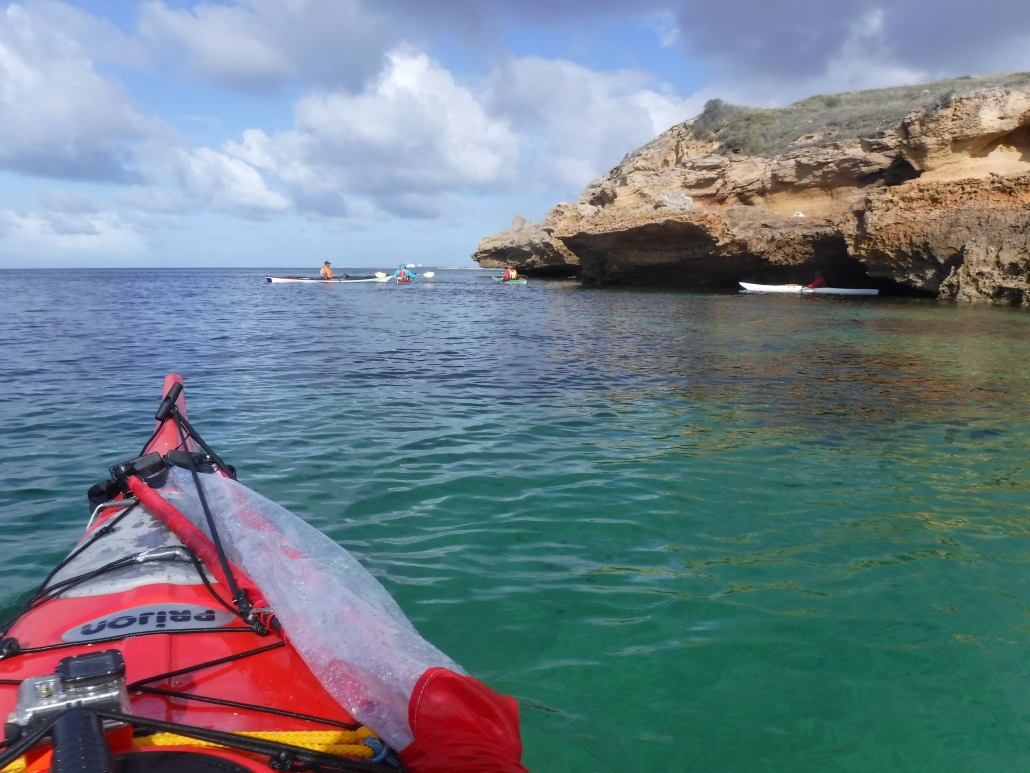
Cave near Stansbury

Plan B Paddle – Port Vincent to Edithburgh and then Troubridge Island — 27 – 29 May 2023

Early Arrival at Port Vincent

The original Plan A was to paddle out to Wardang Island and spend a couple of nights camped on Goose Island but the weather failed to cooperate, so Phil as Trip Leader suggested a Plan B, paddling on the eastern side of Yorke Peninsula from Port Vincent to Stansbury and then Edithburgh while car camping at caravan parks and visiting the local pubs for dinner. Then on Monday a return trip to Troubridge Island if conditions were suitable.

Winds were forecast W to WNW over weekend, generally below 15Kn so the east coast of Yorkes offered more protection by paddling close inshore. We ended up with 5 members booked from the original 11: Phil, Simon, Abelardo, Giresh and Mark opted to explore the coastline we hadn’t paddled previously.

It was good to form our own opinions of this section of the coast after hearing varied opinions.

Phil and I drove down on Friday and checked into Port Vincent Caravan Park, a well setup park with unpowered sites protected from westerly winds.
Squid Snitzel at Pt Vincent

Squid Schnitzel at Pt Vincent

Once settled in we took the opportunity to catch up with local Adelaide Canoe Club members Carol and Robert.  We discussed possible Club involvement in the Salt Water Classic event planned for April next year, when a flotilla of wooden boats and kayaks will be sailing, rowing, motoring, and paddling from Stansbury to Port Vincent, taking advantage of the flood tide on the day. Robert took the opportunity to show us his wooden boat collection which was very impressive (as you can see in the pictures).

Carol and Robert offered to help with the car shuttle when we arrived at Stansbury and also recommended the Dalrymple Hotel there, but emphasised that we had to make a reservation –  nothing like local knowledge!

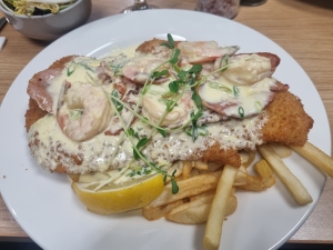
An easy walk to the Ventnor Hotel on Friday night – excellent squid schnitzel, comparable to our visits to the St Kilda Hotel when paddling Barker Inlet.

Day 1: Port Vincent to Stansbury 

Paddlers before launching in Pt Vincent

Paddlers before launching in Pt Vincent

The rest of our group arrived at the Port Vincent Yacht Club about 10:30am on Saturday, a nice easy location to launch just adjacent to the Port Vincent Kiosk – very handy for coffee and a range of seafood – and noted for future trips.

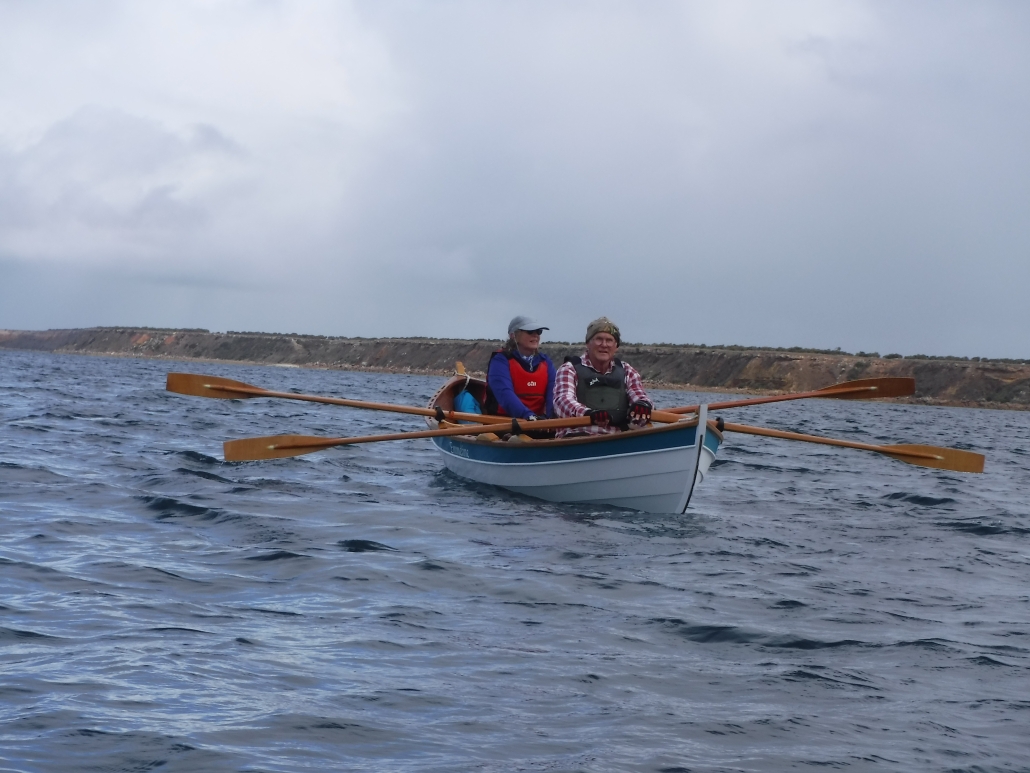
Robert and Carol soon joined us and after introductions and a couple of pictures we were all on water about 11.40am. They had arrived in their 16´ ‘Double Ender’ wooden boat, lovingly built by Robert from plans by Doug Hyland of Maine, USA which were styled after the lobster boats used in the area about 100 years ago. The day was a bit overcast and wind around 10kn W so best option was to hug the coast as we paddled south.

Robert and Carol easily kept up with the kayaks and looked great on water, reinforcing the attraction of the concept for the Salt Water Classic paddle with a range of boats and kayaks. With sunshine breaking through the cloud cover, we spotted a stingray then a pod of dolphins, so the omens promised a good paddle!

Rob and Carol joining the start of paddle at Pt Vincent

Rob and Carol joining the start of paddle at Pt Vincent

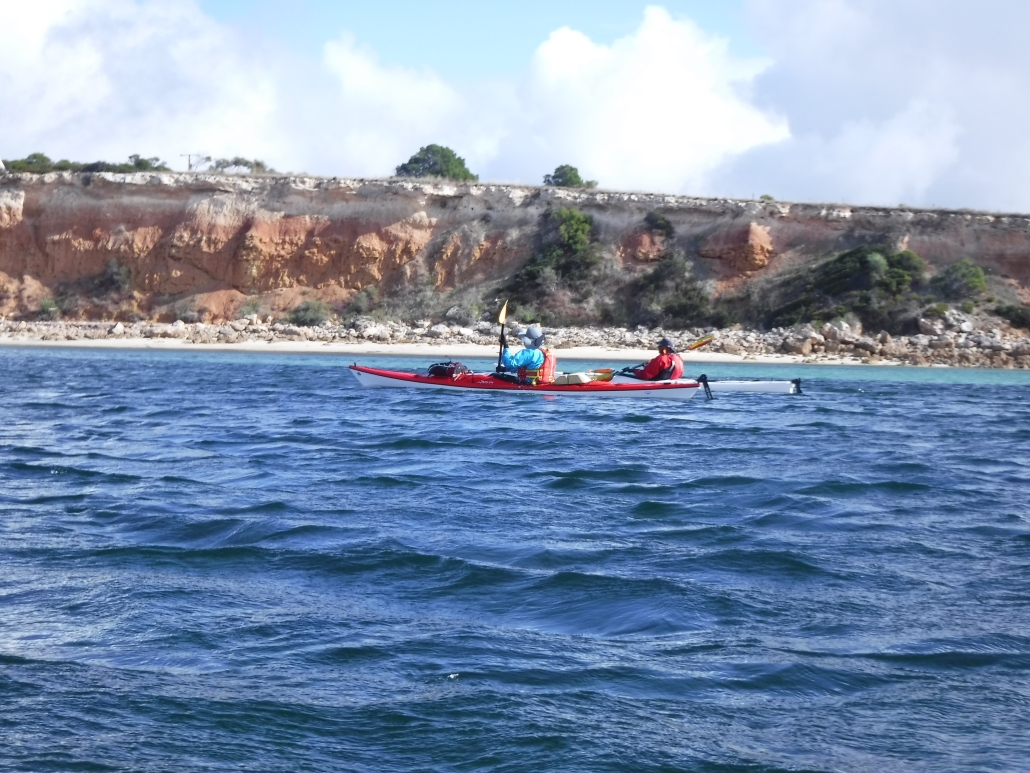
Around 1pm we said farewell then worked our way into the cliffs, admiring the stunning formations which only improved as we paddled south. Erosion over the millennia has formed a beautiful landscape along this section of the coast.

We encountered several overhanging rocks and selected one that looked stable and took the opportunity for a group photo.

Paddling close inshore we had to remain alert for limestone outcrops that just popped up unexpectedly – reminded me of our recent trip to Parnka Point on the Coorong.

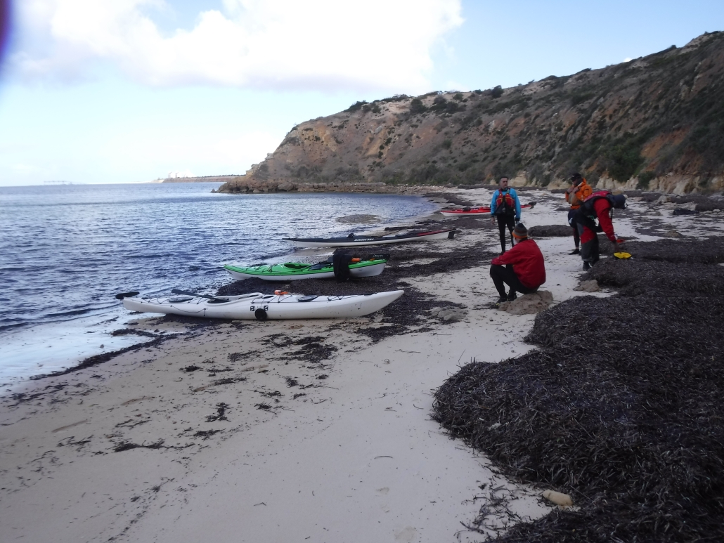
The first stage of the paddle was turning out to be above expectations and we made several stops along the way to admire the cliff formations, we even spotted a beach that might be suitable for an overnight stop with the right tide.

We knew we were close to Stansbury when we spotted the jetty and shortly after there was Robert on the boat ramp breakwater taking photos as we approached. After being entertained by the numerous seals resting on the breakwater we continued along the township coastline of Stansbury, arriving about 3.30pm to a very kayak-friendly caravan park with a nice sandy beach, perfect for landing and launching kayaks just in front of the unpowered campsites.

Arriving to Stansbury

Arriving to Stansbury

Wasn’t long before we had checked in and met by Robert with his kind offer to ferry drivers back to Port Vincent to collect our vehicles. Phil booked us into the caravan park while waiting for our return with the cars and camping gear.

We quickly set up camp overlooking the beach, before heading off in search of the Dalrymple Hotel, we couldn’t muck around as we had a table booked for 5.45pm – yes, the restaurant is popular!

Once again, squid schnitzel was on the menu. Strolled back along the beach to the camp kitchen for a chat with supper and discuss the day’s adventure and plans for the next day and then into our waiting tents for a well-deserved rest.

Day 2: Stansbury to Edithburgh

A bit of wind and rain overnight but tents still standing in the morning, although Phil decided to take his tarp down overnight before it blew away. After a quick breakfast our first task was to ferry all the cars to Edithburgh with Abelardo driving us back to the launch site.

Headed inshore after clearing the sandbar, more wind at start of paddle but good protection inshore, the stunning scenery continued.
The Accolade II, from Adelaide Brighton Cement

The Accolade II, from Adelaide Brighton Cement

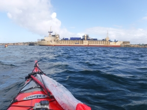
Wasn’t long before we spotted a ship in the distance at Klein Point, moored close inshore. It turned out to be the Accolade II, the Adelaide Brighton Cement (ABC) ship that transports limestone to Birkenhead at Port Adelaide about 4 times per week. We later heard that Simon’s Dad used to be an Officer on the Accolade I and II as well as the Troubridge. Simon has fond memories of attending Christmas parties at ABC as a “little tacker”, so this trip ended up being a very significant paddle down memory lane for Simon.

As we progressed south the coastal formations changed noticeably, with much more of a limestone appearance and not the coloured sedimentary layers.

The next coastal feature was the Lime Kiln Ruin at Wool Bay, looking almost like a small temple when we approached. It is the only one remaining of the six (6) built to produce quicklime by heating limestone, an important ingredient in mortar and brick making in the late 19th Century. The Kiln operated until the 1950’s.

Limestone near Stansbury

Limestone near Stansbury

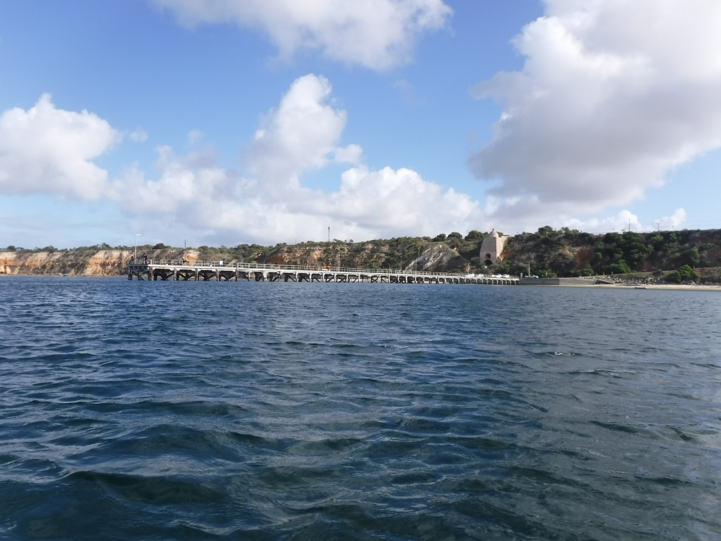
The next significant structure we encountered was the Port Giles Jetty – 340m in length and Phil said sharks loitered around the end (might be an old surfer’s myth!) so we took the shortcut close inshore. The Jetty and adjacent storage silos are used to store and ship grain from the Lower Yorke Peninsula.

Our next challenge was a crossing of 4 to 5km across Coobowie Bay, in what looked like a 15kn westerly wind, possibly gusting higher occasionally. No more protection from the stunning cliffs so time to put some effort into our paddling. Coobowie Bay is home to the local oyster industry and according to Carol also serves great meals at the local pub – perhaps next trip! We opted for a short stop at a boat launch site prior to tackling the crossing.

Back on water we set course for a prominent group of pine trees in the vicinity of Edithburgh. As expected, the crossing was just a head down slog but we soon made out the brightly coloured Edithburgh Tidal Pool as we approached the shore and the wind eased.

Lime Kiln Ruin at Wool Bay

Lime Kiln Ruin at Wool Bay

We paddled past the Jetty then Boat Harbour and on to Sultana Point Jetty and a small beach we had previously selected as a landing point. After checking in we had a short portage up to a nice grassy unpowered campsite well sheltered from any southerly wind.

Too far to walk to the pub so Abelardo with the tidiest car provided a taxi service. We dined at the Edithburgh Hotel on Edith Street, again a very popular hotel and three (3) of us can recommend the slow cooked lamb shanks.

A stunning evening, couldn’t hear any wind or rain overnight until a light shower just before 7am.

Day 3: Troubridge Island Return

Sail up on our way to Troubridge Island

Sail up on our way to Troubridge Island

Hardly any wind overnight and only light rain before we poked our heads from the tents, very excited about paddling to Troubridge Island for morning tea and coffee, and the conditions looked great with only a light westerly breeze, probably below 6Kn for the 8Km crossing.

The island was named by Captain Flinders in 1802 after the Commander of the Fleet at the Battle of the Nile, Sir Thomas Troubridge.

We rushed through breakfast, loaded the kayaks and moved to the Boat Ramp for our departure. No mucking around, we were keen to be on water to take advantage of the conditions. Things only got better as we approached the Island and wasn’t long before we were paddling in tropical-looking turquoise waters in full sun. The real extent of the shoal was visible about 1.5Km out, tide was approaching high water mark with at least 1m of water as we approached the Lighthouse – perfect!

Troubridge Island

Sail up on our way to Troubridge Island

We were amazed at how extensive the shoal spreads around the Island, very apparent how vessels came to grief in the past.  According to Google there were 33 wrecks and groundings until the Lighthouse was constructed in 1856.

Even managed to try out Phil’s 1m² Pacific Action sail with the light breeze, a lot more relaxing than my 1.5m² but the larger sail would have been perfect with the 6Kn westerly.

The noise of numerous birds greeted us as we approached, we could see a mass of them nesting on the sandbar on the SW end of the Island.

The bright red freshly painted lighthouse stood out, contrasting the turquoise waters and white sands of the shoal.

We set up on the table in front of the Keepers Cottage with an amazing view and the constant sound of the birdlife. I will let the pictures tell the story! How lucky we were with the weather and our visit has inspired us to investigate the possibily of arranging a couple of days’ overnight stay for a future visit.

Coffee and cake at Troubridge Island

Coffee and cake at Troubridge Island

After coffee, cake and a few pictures to capture the moment we were back on water for the return paddle, but not without a circumnavigation to appreciate the size of the bird population.

Wind had picked up on the return as forecast so we settled in for a heads down paddle with the Water Tower as reference point until we got in closer and spotted the boat ramp.

We made good time and were soon back in the safety of the harbour, Abelardo leading the way (having decided to use the last stage for a bit of pace training).

Back in harbour about 2.30pm, Giresh and Phil decided to show off with a couple of celebratory rolls – judging by their reactions the water was cold!  We landed at the boat ramp and soon had the kayaks loaded before heading back to Adelaide.

Giresh left for the west coast of Yorkes for another 2 days of paddling while Abelardo, Phil and Mark set off for the return drive to Adelaide.

Our last day’s paddle completed a perfect trip exploring a section of the coast that we hadn’t paddled before, but a trip we will definitely repeat. Lots of stunning scenery and great to visit the towns of Port Vincent, Stansbury and Edithburgh and compare the squid schnitzels along the Peninsula.

It was great to catch up with club members Carol and Robert and we appreciated the assistance in shuttling cars as well as local advice. Both are involved in preparing for the Salt Water Classic in 2024 for Wooden Boats and Kayaks intending to catch the tide from Stansbury to Port Vincent. Rest assured we would love to be involved and the weekend of 13/14th April 2024 is now in the Club calendar, so consider the date for your long term planning.

Overall Statistics

Conclusion

A fantastic trip so very close to Adelaide CBD with lots of options available, including staying on Troubridge Island. A great future alternative back-up for Wardang Island’s trips or just to add to our paddling calendar.

A great Plan B Phil, well done!

Click on the maps below to download the GPX files

GPS Port Vincent to Stansbury

GPS Port Vincent to Stansbury

Stansbury to Edithburgh

Stansbury – Edithburgh


The Pages Expedition – KI South Coast – 21 – 26 April 2023

Day 1 and 2  – Victor Harbor to Pink Bay via The Pages

Karl Meyer, Ben Weigl, and Tresh Pearce met up at Pink Bay. Ben had earlier paddled solo from Cape Jervis, arranging to camp overnight along with the Adelaide Canoe Club (ACC) crew including Karl and Tresh. He had set up camp there before the weary ‘Pages’ paddlers landed late on Saturday 22nd April.  They had completed an epic ACC paddle from Victor Harbor to Ballaparudda Beach, camping overnight then on to Pink Bay at Kangaroo Island via the ‘Pages’ group of islets in Backstairs Passage. The trip was recently well-documented by Greg Adams from the Club.

Day 3 – Bay of Pinks to Pennington Bay

Breaking wind-against-tide clapotis around Cape Willoughby

The next day saw the trio set off for a further westward adventure around Cape Willoughby and along the South coast of the Island, aiming for Vivonne Bay. The remains of the ‘Pages’ expedition enjoyed a relaxing day before they headed to Antechamber Bay in the afternoon.

After launching and farewelling our comrades and the homely Bay of Pinks, we set our sails in the strengthening but still moderate easterly toward the nearby Cape with the awesome sight of its presiding lighthouse coming shortly into view. We knew we had missed the slack tide conditions and expected the wind-against-tide factor to come into play in rounding the Cape, causing rough sea conditions. This would be on top of the ever-present clapotis from the ocean swells in deep water meeting the sheer boulder cliffs under the lighthouse.

As we approached under full sail, the comments of James Fishers came to mind when he said during his and Dayna’s rounding of the Cape in 2022: that “it was the most hectic sea conditions he had ever paddled in”.  . . . . .  Well, that is pretty much what we experienced too. It was so concentrated and boiling with big breaking slop making for hectic and scary discomfort. I had been around the Cape a couple of times previously, but the conditions were nowhere near as severe then. The sails were good for providing the steady power to make headway through the clapotis paddock, as it seemed as though our paddles weren’t having much effect!  As well as going through the motions of forward stroking, they were being employed in bracing and keeping us upright.

Pennington Bay

Apparently, some or all of the ACC crew were walking to the lighthouse and saw us go through that. Greg Adams later said that seeing us set our sails for Cape Hart once we were through, was an inspiring sight. I’d say that for those of us on the water, once it had all sorted itself out after a km or two, it was more of a relief and then a deep pleasure to find ourselves with a steady breeze behind us, and we were away!

After an extremely pleasant sail around Cape Hart with its magnificent surf rolling onto the reefs, we rounded Black Point then eventually False Cape and were into the big indent of coast of Pennington Bay. The sea was often lumpy, the coastline magnificent.  After False Cape (and Black Point earlier), there are many beaches. So the clapotis disappears for a while and one can mosey along quite close behind the break. They were all breaking very close to the steep sandy shores. – evidence of extremely high-energy beaches. There may have been places to land but we didn’t see them.

Approaching Pennington it was getting on in the afternoon and we briefly looked for a small cove immediately west of the main beach, but couldn’t find it. Sometimes beaches disappear after wild weather, taking time to re-appear as the sand slowly redeposits. We chose the western end and landed through the moderate surf there onto an idyllic setting, sheltered and with the last of the sun disappearing behind the cliffs. It wasn’t cold at all and we were in high spirits at our good fortune in making it safely and very happily during our first leg.

Day 4 – Pennington Bay to Unknown Cove (A real Gem)

Camp in the D’Estrees Unnamed Cove

Shortly after leaving Pennington Bay my rudder became ineffective, a cable issue somewhere. Karl fixed it into a neutral position and I managed to sail and paddle using the stern rudder to keep on course in the steady easterly / northeasterly breeze. I could also keep my hands way off-centre of my paddle to lengthen the stroke on one side if necessary, but we mostly sailed. Upon landing it proved to be easily fixed with a minimum of tools.

Outside of this great little bay there were some awe-inspiring-looking breaks on the protecting reefs which we could get up close to and have a good look at. We waited around for Karl to do some surfing on the shoulders of them – so perfect were they. Alas, although we waited a good while, the sets didn’t return and perhaps we’d drifted from the best spot, so Karl has to wait for another opportunity!

Although none of us had direct experience of this cove, or knew anyone who had landed there (it just looked terrific from satellite maps), our bay turned out to be a real gem. We settled on the southern end of it, and made a delightful camp amid warm balmy conditions. At last we were in pristine country only occasionally visited by walking humans.

Day 5 – Unknown Cove near to bay near ‘Pogaroo’ Bay

That day was to be the pivotal day where we left all land-based accessibility along the Cape Gantheaume Conservation Park wilderness area. It really is heading out into the wild. We still had the most amazing conditions anyone could ever pray for: moderate swell and helpful breezes, not too strong, not too weak!

The little Bay just East of Cape Gantheaume

Not far from the Cape we landed in a little cove for an explore and a break. Now, theoretically there are no reliable unprohibited landing spots for sea kayakers before Seal Bay, meaning that Vivonne Bay should be the next landing. However Phil and Gordon had mentioned this little cove as a possibility (not sure if either of them had visited previously, but both said it was worth a look). It was very good to receive counsel from both of these very experienced expedition sea kayakers at different times before we set off along this Coast, I’m grateful that the accumulated pool of knowledge is so readily shared. We had also referred to the satellite images and seen the possibility, so gave it a go and it was perfect.  Good for camping too….. .. really, I’m talking perfect here. I think it has a large measure of protection from swell, however it would be scarcely visible from the usual half to a one kilometre offshore that most sea kayaking expeditions have to travel due to having to ‘get’ to Vivonne without dilly-dallying (our specialty) and the clapotis.  We had to share the bay with the resident sea lion population though!  We snacked there, and wandered around the breathtaking, but gentle cove, with a tiny hinterland of open shrubland.

Out to sea once more and we soon came to Cape Gantheaume. It is surrounded by many reefs but we paddled around them as the sea was calm. Although not a huge swell, there were many well-formed breaks all around the place.  The swell itself had a long interval and some were definitely 4 metres.  There were areas of reef that we were only 50 m from, a semicircle of Niagara Falls shape.  That is literally what it was like being near them from behind, it was not so much like waves breaking, but more like a waterfall going from high and falling into much lower ‘suck out’.  The continual roar even on this quiet day was ever-present and astounding, a constant reminder that nature is not to be underestimated, ever.

Eventually we come to our chosen landing and camp destination, a bay immediately before ‘Pogaroo’ Bay, which in turn is one bay before the better known Bales Beach. Our bay is the smallest by far of the three, and is protected to some degree. When we approached there were some significant swells rolling through. We spent some time happily watching it all to get the gist of how it works there. I say happily, because to watch is the safe part.  Yes, it had some big surf going on, frightening at times when the sets came. Karl opted to go in first, he threaded his way through, finding the beach exhaust flow in the middle left of the bay where even the big waves didn’t break. (Though we couldn’t see that from where we sat behind the breaks). He promptly set himself up on a high hill with paddle to sign for us go or not go. Very soon after, Ben and I waited for a lull, but the decent sized waves kept coming. Karl, high on the sand hill gestured most assertively with the paddle not to come as he could see what was happening behind us. We didn’t need to be told, we weren’t going anywhere for the time being.  One wave in particular was huge, Karl said later (he’s a longtime surfer) he was guessing at about 10 foot or 3m. Then there was a lull, and I could see the broken water outward with beach exhaust and rip centre left in the tight bay and thought “It had better be a decent lull or I’m cooked!”. It turned out to be what we needed and eventually on the same lull Ben set off inward. No waves broke at all along that line, which does a little dogleg halfway. The swell size seemed to diminish noticeably from that point on. We were all very stoked to have landed so successfully, with no mishap. After recceing the beach and surrounds we re-entered our kayaks to relocate into the very sheltered western corner of the bay a hundred metres away and set up another idyllic camp. The unnamed bay itself is extraordinary in its perfect half-moon shape with a narrow opening to the sea – very beautiful to behold. Being a gloriously warm afternoon helps no end too!!

We were now in the Cape Gantheaume Conservation Park some kilometres from the nearest road, but more recently a walking trail has been established nearby connecting with the D’Estrees end of the Park. From this site it was only approx 20 kms to paddle to Vivonne Bay on the following day, but there was still a lot of exploring to do in the morning even before Seal Bay.

Day 6 – Unknown Cove (near ‘Pogaroo’ Bay) to Vivonne Bay.

In the morning we set off to a much-diminished swell, cruising out of the centre of the bay without so much as a splash, the one to two foot reformed little shore-break near our camp was more splashy than the rip through. Passing the neighbouring larger bay directly adjacent to ours was also beautiful from our route a hundred metres off from its entrance. I was full of emotion as we passed Bales Beach:  so many swims there, and it continues to be a sacred part of my and others’ lives. In 10 days or so I will likely be there once again, and it seemed a bit weird with two completely differing contexts happening to overlap at that place.  The fresh north easterly breeze filled our sails and moved us along nicely toward Vivonne Bay.

With the wind coming in blustery from the NNE (before swinging more NE a bit later) we cleared Bales and the steep rocky cliffy shore once again resumed, though this time relatively protected by reefs a bit offshore.  A couple of micro coves presented themselves for inspection and possible landing. The first immediately after Bales proved a bit too unprotected, where there were dumpy breaks closing out its opening. I have visited there before on foot through the shallows on an exceptionally calm day and it is truly beautiful, and also accessible (just) by land. Has a very interesting honeycombed small stack that can be climbed around in to peep out of various windows!!  Not for today though. Karl and Ben went over to a potentially easier-to-explore area a bit further west, which was a cracker!  I won’t say much more about it, but this was definitely one of the trip’s highlights. Situated just outside the Seal Bay Exclusion Zone, It had a great many resident sea lions of all ages, including a bull. We had lunch and I can’t thank B & K enough for their decision to land there. (Even though in the forefront of my mind was the possible NW strong wind coming in before our scheduled close of play in Vivonne Bay around lunchtime).  This turned out to be a dire headwind, the NE intensified and came in early and made for a raging tailwind for the last hour.

After an interval with the seals and cubs and mammas and all sorts in the water and on the beach, we launched. At the point of launch intention, a mamma seal from the beach decided that she either wanted to inspect our boats a lot closer, or wanted to prevent them from entering the water, and blocked our path!  She was very intent on something, we waited until she drew away a bit. There is a pic of Karl entering the water and she is still a distance away by then but watching very intently. We did everything slowly, quietly and calmly.

Then off around the headland where we went inside the reef breaks threading our way, avoiding the locations where the bigger waves were breaking. There is always some tension at these times, the questioning…  “Have we got this right, or are we paddling into a disastrous trap?”  As we travel we check things out ahead for some distance, making mental notes, sometimes consulting maps for the locations of the reefs etc. And in the end, you either back your intuition using the evidence and visual based info, or be in undecided-land, waiting for a lull or trying to seek more evidence confirmation (sometimes this is the most appropriate) or even make the long back-track for a possible couple of kilometres.

Passing by Seal Bay beach we saw the paying tourists viewing the few seals on display there, whereas just around the corner there were lots (for no cost!) where we had just lunched among them.

Ben Blue Water Sailing, near Seal Bay

The Nobby, (an enormous detached piece of Headland alongside a wide protected channel) loomed up, and I went ahead to position myself where I could get a good pic of Ben and Karl coming through the gap to show the whole massive stack, while having them clearly visible in the gap. It was my one intentional set-up photo. Trouble was, I only casually briefed them as I paddled off. . . .well I waited and waited as they stuck together moseying along doing their exploring and seal watching and filming, while I’m blown further and further away from the desired shot. I back paddle against the wind, they hug the shore at snail’s pace, completely indiscernible, camouflaged against the texture of the Nobby, and the whole of the towering stack no longer in frame with water on each side.  I find myself way behind them and with only rubbish pics to show for it.  I put the phone away, and declare ‘ *@%@$* photography !’ and paddle strongly to catch up.  From there it was only a few kilometres of easy sailing out from the cliffs to a point where we start to work out where we think Vivonne might actually be in the 10 km distance, amid the land on the horizon. Amongst us there were some differences of opinion concerning that, so time to consult the map!

During the last hour we found that heading for the jetty was hectic and exhilarating, but also scary for me as I felt I was going too fast at times. The conditions didn’t allow me to comfortably sheath one of my sails (requiring two hands off the paddle for twenty seconds or so) or just let it flap. I was ahead of Karl and Ben who found the pace perfect, paddling away as well as the effortless sailing. It was the first time I had truly deserted them, I let as much wind out of the sails as I dared, and looked back often and figured there were two of them together to help each in case of mishap, and I’m ahead of them, so that if something happens to me I can sort myself out, or they will see me and assist. When I arrived at the jetty it proved to be inappropriate for our landing needs, so I desailed and waited in the now raging wind for the others.  We beat our way a couple of hundred metres to the boat ramp, which proved ideal in every way.

Return to the Mainland

Three very Happy Paddlers at Vivonne Bay

Our trusted beach greeter Tristan – resident of Vivonne Bay, and later to be ferryman in his car to Penneshaw – was there to welcome us. None of us had ever met Tristan, but through a mutual contact he had kindly agreed to take on the ferryman task. I had been updating him throughout the previous week to firm up a time of arrival.

On the mainland we transferred the boats went to Ben’s ute, and were off into the falling night. Driving through the treed paddocks of Karls’ neighbour as a short cut to his spectacular place on top of the range was a highlight.  Threading through the trees was just like threading through the breaking reefs of earlier in the day ……. a million miles ago it seemed.

Tresh Pearce


The Pages Island Expedition. 21st – 24th April 2023

By Greg Adams

The Pages islands expedition was the brainchild of Phil Doddridge, an ambitious adventure starting at Victor Harbor and ending at Second Valley via Tunkalilla Beach, The Pages, Pink Bay, KI, Antechamber Bay, and Cape Jervis.

The weather gods needed to be on our side, and they were, providing the perfect wind and weather conditions for this epic adventure. The only real problem was a strong ground swell.

Day 1 – Victor Harbor to Ballaparudda Beach

Seven paddlers, Phil and Pat Doddridge, Tresh Pearce, Karl Meyer, Giresh Chandran, Gordon Begg, and I met at the Bluff boat ramp, Victor Harbor at 8am on Friday the 21st of April.

Conditions were perfect, the sun was shining, and the wind was absent. We managed to be on the water and left by 9am passing The Bluff, West Island and rounding Newland Head after 2 hours paddling.

Beach Ballaparudda

Waitpinga and Parsons beaches had a large oily swell rolling in and a grey sky above, creating an eerie atmosphere.

Karl and Tresh paddled in close near the surf zone to experience the power of the swell as we continued approx. 1 km out to sea, waiting for them to join us again at Parsons beach.

Looking for a place to land

Leaving Parsons beach, we realised that landing at Tunkalilla beach with this size swell would be very difficult. There were two options, Callawonga and Ballaparudda beaches, just prior to reaching Tunkalilla. Arriving at Ballaparudda, the closest, 23km from Victor Harbor, it looked quite manageable. We decided that this would be tonight’s camp.

Tresh, Gordon, and Pat successfully made the first landings. Then Karl, I, Giresh, and Phil attempted landing. All capsized in the difficult conditions. Phil’s kayak nosedived into the sand bar causing a fatal fracture in the bow. The kayak was then swept into the rocks on the western shore. All in all, with four in the water it was a disastrous landing attempt. No one was hurt and all gear was salvaged beside the fatally damaged kayak.

Thoughts were with Phil as he had planned the expedition and now, he would have to abandon after only one day on the water.

With Karl’s local knowledge, he managed to wrangle access for his daughter, Sahara to drive down the beach through paddocks to extract Phil and Pat and their kayaks the following morning. Once things settled down, a comfortable campsite was established, and much discussion of the days adventures was had around the campfire.

Day 2, Saturday – Ballaparudda Beach to Pink Bay via The Pages

North Pages

With a healthy respect for Ballaparudda’s sandbar, the remaining paddlers said their farewells to Phil and Pat and headed out through the surf zone one at a time, Tresh leading.

Within 30 min all were out and prepared for the 16km paddle to North Pages Island in calm conditions with virtually no wind. We were heading slightly east of the islands to counter the flooding tide which worked perfectly, paddling in a tight group, and chatting, we headed south. The closest island was reached in 3 hours and there was a reasonable swell running. A fishing boat was anchored nearby, and we explored the lee of a barren, guano covered, granite island. Australian Sea Lions, screaming Gannets and Terns greeted us, this is a wild place!

Heading around the eastern side to the southern islands, we encountered clapotis waves which kept us very alert. As we paddled between the islands, large boils were appearing indicating submerged bombies. Not a place to hang around. The southern island had a lighthouse and tower. It seemed smaller but just as inhospitable. There is meant to be a place to land on one of the islands, but it was not obvious. A quick feed and discussion and we then headed to Cape Willoughby, 16km away.

To Cape Willoughby

For the first hour we had amazing conditions, blue sky and oily seas and paddling with a flood tide, 7 kph was a comfortable pace. We noticed the tide was drawing us towards Antechamber Bay and on this course, we were potentially going to run into a dangerous shoal called “The Scraper”. Gordon made the decision to head for Cape St Albans. The sea and wind picked up as we got closer to St Albans. We were then working hard against the flood tide to try to get to the cape. The tide was about to change but we were fighting a strong current. My computer was telling me we were not making much headway.

Once we got close to Cape St Albans the tide went slack and we had a beautiful 4km paddle along the cliffs to Pink Bay in the late afternoon. A 16km paddle turned into 24km taking 4.5 hours.

Pink Bay is paradise! (don’t tell anyone). Camp was set and I found out that I had left my tent poles and pegs back at the previous camp. Ben Weigl joined us, paddling from Cape Jervis to Pink Bay in 4.5 hours. He, Tresh, and Karl were going to leave us and explore the south coast of KI the following day, Giresh, Gordon, and I were heading to Antechamber Bay. A beach campfire rounded out a big eventful day.

Day 3, Sunday Pink Bay to Antechamber Bay

Pink Bay from Gazebo

We bid farewell to Tresh, Karl, and Ben at 9am the next morning and we went for a walk to Cape Willoughby. From the lighthouse we could see the trio sailing towards Cape Hart, an awesome sight.

We spent a leisurely morning exploring the lighthouse and surrounds returning to camp for lunch and a departure to Antechamber Bay by 1pm to catch the end of the flood tide. It was nice to have a bit of a rest day and only a couple of hours on the water. Passing Cape St Albans was exciting with lots of turbulence and at times travelling with the flood tide at up to 9.5 kmph. An awesome beach camp was made in Antechamber Bay on a glorious afternoon. A walk up the river and through the campground then back along the beach was the end to another perfect day.

Day 4, Monday – Antechamber Bay to Second Valley

Steam rises from the sea at sunrise, Antechamber Bay

Phil had contacted us and had decided to paddle down to Cape Jervis (from Second Valley), wait for us and complete the final leg together. The tide was due to flood at 10.30am. Gordon recommended that we head off at 9am and get as far across Backstairs Passage before the flood tide kicked in and assist us to Cape Jervis and beyond.

The sea was like a mill pond and the first 2.5 hours were a dream. But nothing is ever that easy. 8km from Cape Jervis, a 15kt (27km) northerly head wind blew against the flood tide. The sun was in our eyes and the sea was a crazy mess. It was a tough 1-hour + slog to the shelter of Cape Jervis. It felt like we were not moving but with the flood tide we were easily travelling at over 7kph and at one stage at 10.5kph. What a relief it was to paddle into the harbour and meet Phil, who was lounging on the beach in glorious sunshine. A stark contrast to where we had been.

After a 1-hour break, we headed around the corner and into the gulf. The plan was to camp on Morgan’s beach or a smaller one further north but because of the long weekend, Morgan’s was crowded with car campers. So, we decided to press on and with light winds, sunshine and a following tide, paddling cannot be better.

Because of the high tide the second beach option was not suitable, so decided to press on to Second Valley. We landed at 5.30pm on a balmy evening, finishing the expedition with the final night spent in Giresh’s holiday shack. Perfect.

Overall Statistics

  • Day 1, Friday – Victor Harbor to Ballaparudda Beach – 4 hrs, 23km
  • Day 2, Saturday – Ballaparudda Beach to Pink Bay via The Pages – 7.30 hrs, 40km
  • Day 3, Sunday Pink Bay to Antechamber Bay – 2 hrs, 10km
  • Day 4, Monday – Antechamber Bay to Second Valley – 7.30 hrs, 40km
  • Total distance travelled 113km,
  • 21 hours paddling including breaks on the water.
  • Average moving speed 5.8kph over the 4 days.

Braving the waves in West Beach

Paddling on a Winter Day in Summer

Impromptu Paddles through WhatsApp

A bit of winter weather in the middle of summer doesn’t stop Adelaide Canoe Club members from braving the unseasonably weather. We cancelled the Thursday Evening Skills session at Tirana Way. But this was soon replaced with an impromptu surf session at the Adelaide Sailing Club on 5/Feb.

The surf was rolling in along the coast. Charlie posted an ad hoc surf session in our WhatsApp channel, and therefore, outside of the calendar. The unpredictable weather is showing that this channel is allowing  paddlers to connect and get out on water. At the time of writing this post, the channel has 43 club members.

The winter day

We had Charlie Walker, Bella and Anthony (and Leigh), Giresh Chandran and Mark. We were braving the 25 knots plus winds with the sand blasting in our faces (and on the cars)!

Braving the waves in West Beach

Conditions looked challenging when we arrived at 5.30pm. We decided to use the protection of the Boat Ramp rock wall with some good waves forming inside the harbour. Lots of surfers were just outside the northern rock wall, so we didn’t want to encroach on their turf.

We launched from the southern end of the beach and gradually made our way outside the harbour to experience the swell. Confidence gradually built as we paddled further out (some further than others).

When Charlie, Anthony, Giresh and Leigh warmed up they managed several successful runs into the beach – most without mishap – the pictures tell all!

Well done to Giresh on successfully managing to control his kayak in the soup zone with some perfect looking bongo runs onto the beach. Pretty impressive having only been introduced to low support strokes at the previous evening skills session at Tirana Way.

The adrenalin was running after we finished and cleaned up, so we adjourned to the protection of the Sailing Club to debrief and plan the next adventure, perhaps from Noarlunga depending on the interest from Club members.

Tour of Lefevre Peninsula

The Loop

Great suggestion from Mike Dunn on the WhatsApp channel on Friday for a paddle with a difference – doing a loop of the Lefevre Peninsula. The plan was to  launch from the Outer Harbor area, paddle down the Port River, portage across Bower Road into West Lakes, paddle south to Oarsman Reserve,  portage again across Military Road over the Tennyson Dunes and into the sea again – just in time to catch the southerly wind for the 13km final leg back to Outer Harbor. Distance was estimated to be about 28km. We had an ebb tide to begin the paddle so expected to work on our way up the Port River.

I felt I couldn’t resist Mike’s suggestion and was feeling pretty good about our Training Session at Tiranna Way on Friday so agreed to join up with Mike for his adventure.

The Start

Departure was from the small boat ramp just down from the Royal South Australian Yacht Squadron (RSAYS) at 9am, plenty of space for leaving our cars. Once we had loaded our very important trolleys for this paddle, as it requiring a couple of portage sections we were on our way by 9.30am.

Our sightseeing started with the Container Terminal – no shipping in sight so we explored underneath the concrete wharf which looked all very well maintained. As we approached Port River past the Snapper Point Power Station the ebb tide was very evident and even managed to practice some ferry gliding.

Mutton Cove Conservation Park

We had the river to ourselves as we paddled up past Mutton Cove Conservation Park. It’s great to see the increase in mangrove growth. This was a regular lunchtime break and the area has gradually improved, largely thanks to the local community group.

The regeneration of Mutton Cove Conservation Park become very evident as we approached ASC and were almost swept into mid channel by the tidal flow coming out from the small creeks that have been restored. This was all noted as a potential area for some whitewater skills practice when tides are favorable.

We made sure we were on the correct side of the Exclusion Zone buoys of the ASC building to ensure we didn’t set of any alarms. Brought back lots of fond memories to see a Collins Class Submarine on the Hardstand outside the Production Shed. The work on the Offshore Patrol Vessels (OPVs) seems to be progressing well with one in the water for final fit-out prior to Trials and another on the hard stand under construction.

Snowden Beach

Near Snowden Beach we spotted a small wooden boat in the distance. As it approached we saw it was skippered by club members Bernard and Frances Goble. They were doing a Sea Trial prior to departing for the Wooden Boat Festival in Hobart. Bernard had previously given Mike a call to advise that we might encounter them on water. We kept them company as we paddled into Port Adelaide and stopped at Cruickshanks Beach for a leg stretch and lunch.

After lunch our little flotilla continued on its way under the Birkenhead Bridge. We past all the construction happening around the old Fletches Dock and then up into Port Creek and what used to be called Port Misery when sailing ships moored there.

Crossing Bower Road

Water was becoming shallower as we approached the railway bridge before Bower Road. We said our farewell to Bernard and Frances. It was great having their company as we explored the Port. I’m sure our little flotilla was observed by a few of the locals.

We soon ran out of water after managing to navigate the many small rocks leading up to Bower Road. We must approach the council about a nice sandy beach for future trips! The portage across Bower Road went well, interesting dodging traffic with a 5m kayak in tow.

The new home for Paddle South Australia and West Lakes Canoe Club is looking near to completion. It should be a great venue for aquatic activities. We rolled our kayaks down to the beach and were soon back on water for the West Lakes leg of the paddle. Plenty of rowing activity around so we kept out of the way as we approached PAC Rowing Sheds and a busy event.

The forecast southerly had picked up as we approached West Lakes Boulevard bridge. And yet another surprise as we approached a group of kayakers – club members Bella and Anthony out on the water with visiting family.

Oarsman Reserve

We soon reached Oarsman Reserve and brought out our trolleys again. We navigated Military Road and found our way down to the beach via the backstreets of Tennyson. Much easier portage and no rocks to avoid.

The wind had certainly picked up and we searched the horizon for Matt Condon paddling his Audax up from Semaphore to join us on our final leg.

After safely getting through the surf on the Tennyson sandbar we headed further out and headed for Semaphore with Matt. Swell was on our beam and wind picking up so we delayed putting up sails until we reached Semaphore South when the wind was on our backs. I hadn’t used my sail for over 12 months. I asked Mike to stabilize my kayak until I got the Pacific Action rigged and we headed towards Largs Bay. All went well and Matt kept us company until Semaphore then headed back to his beach.

No wind

We had Outer Harbor breakwater in sight but the wind had dropped considerably. Down sails and back to paddling – just as well as the conditions as we rounded the breakwater were very messy but thankfully no water traffic around. Soon had the Overseas Terminal in sight then around the corner and back to our departure point. We both agreed we would sleep well that night after 32km and roughly 6.5 hrs in our kayaks. A fantastic paddle in various conditions with lots of interesting sites on the way.

Thanks Mike for organsing and many thanks to Bernard, Frances, Bella, Anthony (and family) and Matt for joining us during our adventure.  This is definitely a paddle that we will repeat, so keep your eyes on the calendar.

Day paddle from Victor Harbor to Port Elliot return — 1 October 2022

Finally some sunshine!

Port Elliot

After months of cold and rainy conditions, the weather gods finally smiled on us. We had a warm sunny day as we launched our kayaks from the Kent Reserve at Victor Harbor for a trip to Port Elliot and back.

The water was fairly calm while we were sheltered behind Granite Island. We could see though lots of spray and white water out to sea, indicating that the forecast of 2m swells was probably correct. Sure enough as we emerged out into the open ocean the swells started to pick up, luckily they were big lazy, slow moving swells that gently picked the kayak up and lowered it as it passed underneath.

That changed as we approached Port Elliot and navigated the entrance between Pullen Island and the rocky headland. The breaking swell was creating lots of rebound waves and interesting conditions, compounded by the swell picking up in the shallower water and creating some surf-able waves. Luckily no-one was brave enough to try, and we landed safely near the new lifesaving club for lunch.

Visitors

Victor Harbor

Mark Loram, the club president, joined us for lunch as he was in the area visiting friends. He was unable to join the paddle due to family commitments. After a nice relaxing lunch and chat in the warm sunshine on the beach we climbed back into the kayaks for the return trip.

This time we went around the outside of Pullen Island for a change of scenery, which was interesting due to all the rebound waves on the ocean side of the island, even worse than when we came in. Nothing too serious, but not conducive to taking your hands of the paddle to take photographs!

We were expecting the conditions to improve as we moved away from the rocks into the more open sea.  But, for some reason, the unsettled conditions persisted all the way back to the shelter of Granite Island, resulting in frequent correcting strokes and bracing. We were all very glad to get out of the kayaks after getting back to Victor Harbor after 3 ½ hours, having done a round trip of 18 kms.

Garden Island Mangroves — 7 February 2022

Entering Garden Island Mangroves

Frances, Linda and Peter C joined Anne and Simon at Garden Island today. If only the wind had read the BOM weather forecast and did as predicted!

Garden Island Mangroves

Instead it was blowing at well over 16 knots and then gusted even stronger as we prepared our boats for launch. We avoided the open water and explored up the two small creeks to the west of the boat ramp instead. The tide was very high so the creeks were topping their banks as we paddled up. We kept an eye on the tide to make sure we would have enough water to get back over the submerged branches. Back at the boat ramp, Linda took one of the Delta kayaks out to see the difference between it and her sit-on-top. While paddling out from the boat ramp a dolphin came quite close to her; the perfect finish to a pleasant day’s paddle.