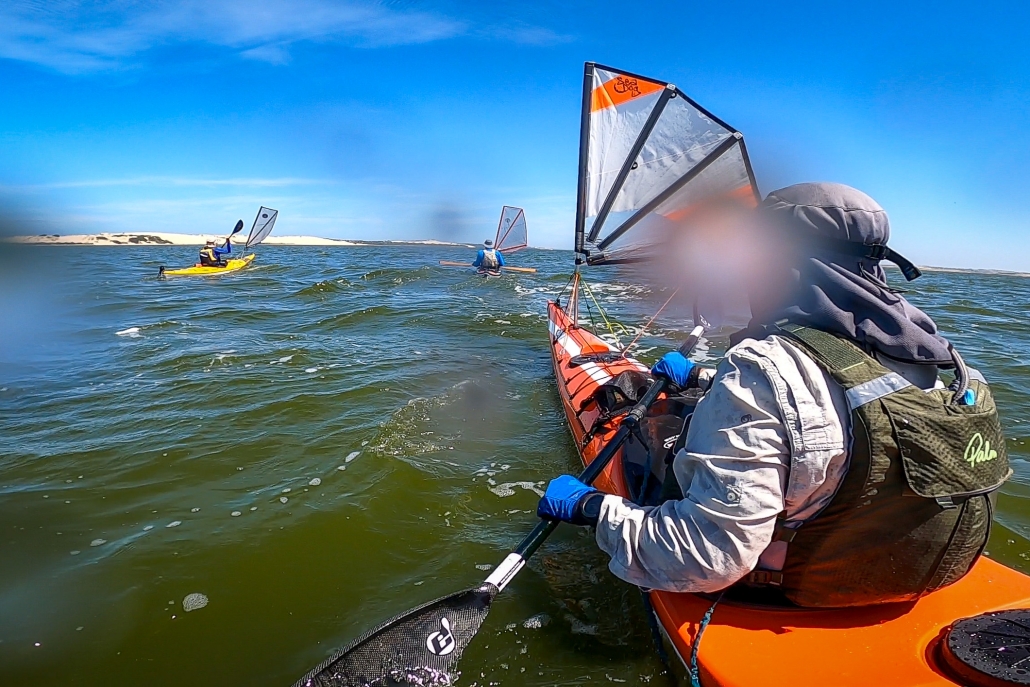
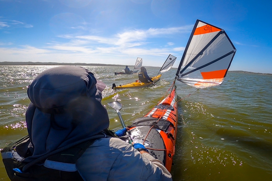
Day 1 and 2 – Victor Harbor to Pink Bay via The Pages
Karl Meyer, Ben Weigl, and Tresh Pearce met up at Pink Bay. Ben had earlier paddled solo from Cape Jervis, arranging to camp overnight along with the Adelaide Canoe Club (ACC) crew including Karl and Tresh. He had set up camp there before the weary ‘Pages’ paddlers landed late on Saturday 22nd April. They had completed an epic ACC paddle from Victor Harbor to Ballaparudda Beach, camping overnight then on to Pink Bay at Kangaroo Island via the ‘Pages’ group of islets in Backstairs Passage. The trip was recently well-documented by Greg Adams from the Club.
Day 3 – Bay of Pinks to Pennington Bay

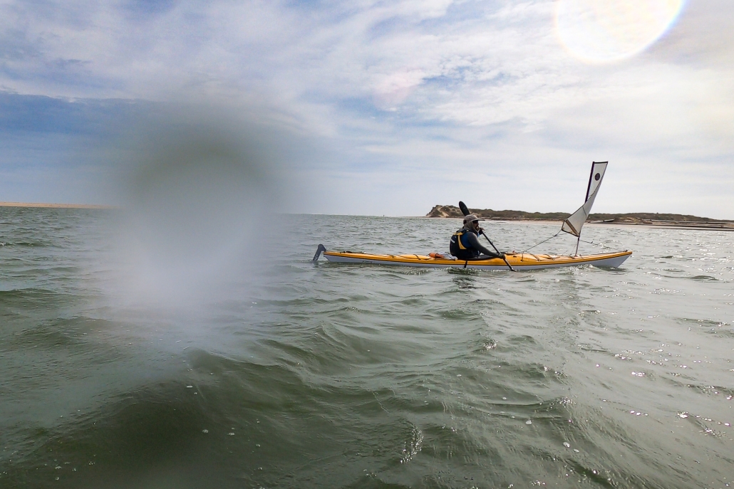
Breaking wind-against-tide clapotis around Cape Willoughby
The next day saw the trio set off for a further westward adventure around Cape Willoughby and along the South coast of the Island, aiming for Vivonne Bay. The remains of the ‘Pages’ expedition enjoyed a relaxing day before they headed to Antechamber Bay in the afternoon.
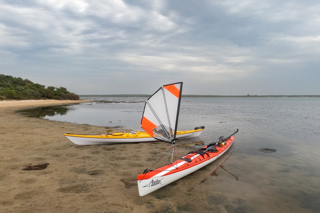
After launching and farewelling our comrades and the homely Bay of Pinks, we set our sails in the strengthening but still moderate easterly toward the nearby Cape with the awesome sight of its presiding lighthouse coming shortly into view. We knew we had missed the slack tide conditions and expected the wind-against-tide factor to come into play in rounding the Cape, causing rough sea conditions. This would be on top of the ever-present clapotis from the ocean swells in deep water meeting the sheer boulder cliffs under the lighthouse.
As we approached under full sail, the comments of James Fishers came to mind when he said during his and Dayna’s rounding of the Cape in 2022: that “it was the most hectic sea conditions he had ever paddled in”. . . . . . Well, that is pretty much what we experienced too. It was so concentrated and boiling with big breaking slop making for hectic and scary discomfort. I had been around the Cape a couple of times previously, but the conditions were nowhere near as severe then. The sails were good for providing the steady power to make headway through the clapotis paddock, as it seemed as though our paddles weren’t having much effect! As well as going through the motions of forward stroking, they were being employed in bracing and keeping us upright.

Pennington Bay
Apparently, some or all of the ACC crew were walking to the lighthouse and saw us go through that. Greg Adams later said that seeing us set our sails for Cape Hart once we were through, was an inspiring sight. I’d say that for those of us on the water, once it had all sorted itself out after a km or two, it was more of a relief and then a deep pleasure to find ourselves with a steady breeze behind us, and we were away!
After an extremely pleasant sail around Cape Hart with its magnificent surf rolling onto the reefs, we rounded Black Point then eventually False Cape and were into the big indent of coast of Pennington Bay. The sea was often lumpy, the coastline magnificent. After False Cape (and Black Point earlier), there are many beaches. So the clapotis disappears for a while and one can mosey along quite close behind the break. They were all breaking very close to the steep sandy shores. – evidence of extremely high-energy beaches. There may have been places to land but we didn’t see them.
Approaching Pennington it was getting on in the afternoon and we briefly looked for a small cove immediately west of the main beach, but couldn’t find it. Sometimes beaches disappear after wild weather, taking time to re-appear as the sand slowly redeposits. We chose the western end and landed through the moderate surf there onto an idyllic setting, sheltered and with the last of the sun disappearing behind the cliffs. It wasn’t cold at all and we were in high spirits at our good fortune in making it safely and very happily during our first leg.
Day 4 – Pennington Bay to Unknown Cove (A real Gem)

Camp in the D’Estrees Unnamed Cove
Shortly after leaving Pennington Bay my rudder became ineffective, a cable issue somewhere. Karl fixed it into a neutral position and I managed to sail and paddle using the stern rudder to keep on course in the steady easterly / northeasterly breeze. I could also keep my hands way off-centre of my paddle to lengthen the stroke on one side if necessary, but we mostly sailed. Upon landing it proved to be easily fixed with a minimum of tools.
Outside of this great little bay there were some awe-inspiring-looking breaks on the protecting reefs which we could get up close to and have a good look at. We waited around for Karl to do some surfing on the shoulders of them – so perfect were they. Alas, although we waited a good while, the sets didn’t return and perhaps we’d drifted from the best spot, so Karl has to wait for another opportunity!
Although none of us had direct experience of this cove, or knew anyone who had landed there (it just looked terrific from satellite maps), our bay turned out to be a real gem. We settled on the southern end of it, and made a delightful camp amid warm balmy conditions. At last we were in pristine country only occasionally visited by walking humans.
Day 5 – Unknown Cove near to bay near ‘Pogaroo’ Bay
That day was to be the pivotal day where we left all land-based accessibility along the Cape Gantheaume Conservation Park wilderness area. It really is heading out into the wild. We still had the most amazing conditions anyone could ever pray for: moderate swell and helpful breezes, not too strong, not too weak!

The little Bay just East of Cape Gantheaume
Not far from the Cape we landed in a little cove for an explore and a break. Now, theoretically there are no reliable unprohibited landing spots for sea kayakers before Seal Bay, meaning that Vivonne Bay should be the next landing. However Phil and Gordon had mentioned this little cove as a possibility (not sure if either of them had visited previously, but both said it was worth a look). It was very good to receive counsel from both of these very experienced expedition sea kayakers at different times before we set off along this Coast, I’m grateful that the accumulated pool of knowledge is so readily shared. We had also referred to the satellite images and seen the possibility, so gave it a go and it was perfect. Good for camping too….. .. really, I’m talking perfect here. I think it has a large measure of protection from swell, however it would be scarcely visible from the usual half to a one kilometre offshore that most sea kayaking expeditions have to travel due to having to ‘get’ to Vivonne without dilly-dallying (our specialty) and the clapotis. We had to share the bay with the resident sea lion population though! We snacked there, and wandered around the breathtaking, but gentle cove, with a tiny hinterland of open shrubland.
Out to sea once more and we soon came to Cape Gantheaume. It is surrounded by many reefs but we paddled around them as the sea was calm. Although not a huge swell, there were many well-formed breaks all around the place. The swell itself had a long interval and some were definitely 4 metres. There were areas of reef that we were only 50 m from, a semicircle of Niagara Falls shape. That is literally what it was like being near them from behind, it was not so much like waves breaking, but more like a waterfall going from high and falling into much lower ‘suck out’. The continual roar even on this quiet day was ever-present and astounding, a constant reminder that nature is not to be underestimated, ever.
Eventually we come to our chosen landing and camp destination, a bay immediately before ‘Pogaroo’ Bay, which in turn is one bay before the better known Bales Beach. Our bay is the smallest by far of the three, and is protected to some degree. When we approached there were some significant swells rolling through. We spent some time happily watching it all to get the gist of how it works there. I say happily, because to watch is the safe part. Yes, it had some big surf going on, frightening at times when the sets came. Karl opted to go in first, he threaded his way through, finding the beach exhaust flow in the middle left of the bay where even the big waves didn’t break. (Though we couldn’t see that from where we sat behind the breaks). He promptly set himself up on a high hill with paddle to sign for us go or not go. Very soon after, Ben and I waited for a lull, but the decent sized waves kept coming. Karl, high on the sand hill gestured most assertively with the paddle not to come as he could see what was happening behind us. We didn’t need to be told, we weren’t going anywhere for the time being. One wave in particular was huge, Karl said later (he’s a longtime surfer) he was guessing at about 10 foot or 3m. Then there was a lull, and I could see the broken water outward with beach exhaust and rip centre left in the tight bay and thought “It had better be a decent lull or I’m cooked!”. It turned out to be what we needed and eventually on the same lull Ben set off inward. No waves broke at all along that line, which does a little dogleg halfway. The swell size seemed to diminish noticeably from that point on. We were all very stoked to have landed so successfully, with no mishap. After recceing the beach and surrounds we re-entered our kayaks to relocate into the very sheltered western corner of the bay a hundred metres away and set up another idyllic camp. The unnamed bay itself is extraordinary in its perfect half-moon shape with a narrow opening to the sea – very beautiful to behold. Being a gloriously warm afternoon helps no end too!!
We were now in the Cape Gantheaume Conservation Park some kilometres from the nearest road, but more recently a walking trail has been established nearby connecting with the D’Estrees end of the Park. From this site it was only approx 20 kms to paddle to Vivonne Bay on the following day, but there was still a lot of exploring to do in the morning even before Seal Bay.
Day 6 – Unknown Cove (near ‘Pogaroo’ Bay) to Vivonne Bay.
In the morning we set off to a much-diminished swell, cruising out of the centre of the bay without so much as a splash, the one to two foot reformed little shore-break near our camp was more splashy than the rip through. Passing the neighbouring larger bay directly adjacent to ours was also beautiful from our route a hundred metres off from its entrance. I was full of emotion as we passed Bales Beach: so many swims there, and it continues to be a sacred part of my and others’ lives. In 10 days or so I will likely be there once again, and it seemed a bit weird with two completely differing contexts happening to overlap at that place. The fresh north easterly breeze filled our sails and moved us along nicely toward Vivonne Bay.
With the wind coming in blustery from the NNE (before swinging more NE a bit later) we cleared Bales and the steep rocky cliffy shore once again resumed, though this time relatively protected by reefs a bit offshore. A couple of micro coves presented themselves for inspection and possible landing. The first immediately after Bales proved a bit too unprotected, where there were dumpy breaks closing out its opening. I have visited there before on foot through the shallows on an exceptionally calm day and it is truly beautiful, and also accessible (just) by land. Has a very interesting honeycombed small stack that can be climbed around in to peep out of various windows!! Not for today though. Karl and Ben went over to a potentially easier-to-explore area a bit further west, which was a cracker! I won’t say much more about it, but this was definitely one of the trip’s highlights. Situated just outside the Seal Bay Exclusion Zone, It had a great many resident sea lions of all ages, including a bull. We had lunch and I can’t thank B & K enough for their decision to land there. (Even though in the forefront of my mind was the possible NW strong wind coming in before our scheduled close of play in Vivonne Bay around lunchtime). This turned out to be a dire headwind, the NE intensified and came in early and made for a raging tailwind for the last hour.
After an interval with the seals and cubs and mammas and all sorts in the water and on the beach, we launched. At the point of launch intention, a mamma seal from the beach decided that she either wanted to inspect our boats a lot closer, or wanted to prevent them from entering the water, and blocked our path! She was very intent on something, we waited until she drew away a bit. There is a pic of Karl entering the water and she is still a distance away by then but watching very intently. We did everything slowly, quietly and calmly.
Then off around the headland where we went inside the reef breaks threading our way, avoiding the locations where the bigger waves were breaking. There is always some tension at these times, the questioning… “Have we got this right, or are we paddling into a disastrous trap?” As we travel we check things out ahead for some distance, making mental notes, sometimes consulting maps for the locations of the reefs etc. And in the end, you either back your intuition using the evidence and visual based info, or be in undecided-land, waiting for a lull or trying to seek more evidence confirmation (sometimes this is the most appropriate) or even make the long back-track for a possible couple of kilometres.
Passing by Seal Bay beach we saw the paying tourists viewing the few seals on display there, whereas just around the corner there were lots (for no cost!) where we had just lunched among them.

Ben Blue Water Sailing, near Seal Bay
The Nobby, (an enormous detached piece of Headland alongside a wide protected channel) loomed up, and I went ahead to position myself where I could get a good pic of Ben and Karl coming through the gap to show the whole massive stack, while having them clearly visible in the gap. It was my one intentional set-up photo. Trouble was, I only casually briefed them as I paddled off. . . .well I waited and waited as they stuck together moseying along doing their exploring and seal watching and filming, while I’m blown further and further away from the desired shot. I back paddle against the wind, they hug the shore at snail’s pace, completely indiscernible, camouflaged against the texture of the Nobby, and the whole of the towering stack no longer in frame with water on each side. I find myself way behind them and with only rubbish pics to show for it. I put the phone away, and declare ‘ *@%@$* photography !’ and paddle strongly to catch up. From there it was only a few kilometres of easy sailing out from the cliffs to a point where we start to work out where we think Vivonne might actually be in the 10 km distance, amid the land on the horizon. Amongst us there were some differences of opinion concerning that, so time to consult the map!
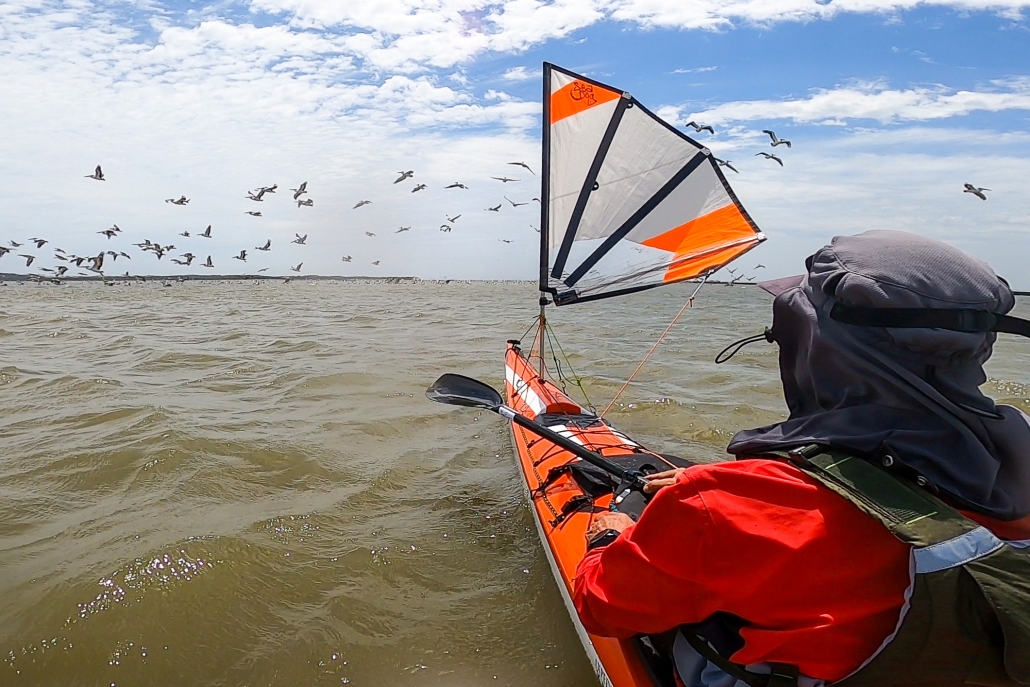
During the last hour we found that heading for the jetty was hectic and exhilarating, but also scary for me as I felt I was going too fast at times. The conditions didn’t allow me to comfortably sheath one of my sails (requiring two hands off the paddle for twenty seconds or so) or just let it flap. I was ahead of Karl and Ben who found the pace perfect, paddling away as well as the effortless sailing. It was the first time I had truly deserted them, I let as much wind out of the sails as I dared, and looked back often and figured there were two of them together to help each in case of mishap, and I’m ahead of them, so that if something happens to me I can sort myself out, or they will see me and assist. When I arrived at the jetty it proved to be inappropriate for our landing needs, so I desailed and waited in the now raging wind for the others. We beat our way a couple of hundred metres to the boat ramp, which proved ideal in every way.
Return to the Mainland

Three very Happy Paddlers at Vivonne Bay
Our trusted beach greeter Tristan – resident of Vivonne Bay, and later to be ferryman in his car to Penneshaw – was there to welcome us. None of us had ever met Tristan, but through a mutual contact he had kindly agreed to take on the ferryman task. I had been updating him throughout the previous week to firm up a time of arrival.
On the mainland we transferred the boats went to Ben’s ute, and were off into the falling night. Driving through the treed paddocks of Karls’ neighbour as a short cut to his spectacular place on top of the range was a highlight. Threading through the trees was just like threading through the breaking reefs of earlier in the day ……. a million miles ago it seemed.
Tresh Pearce
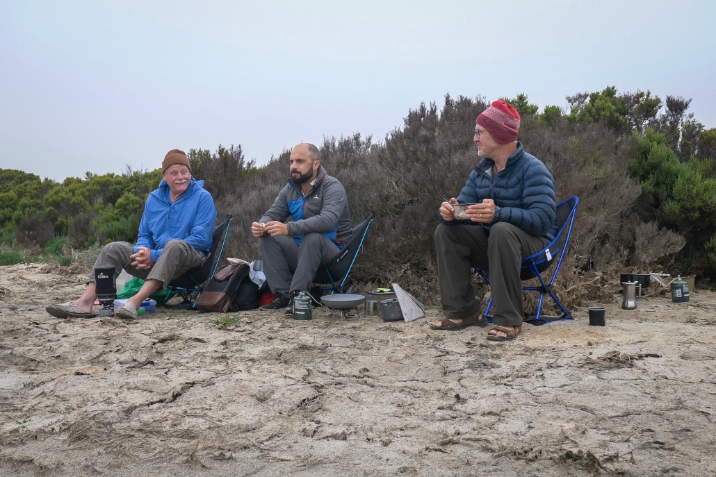
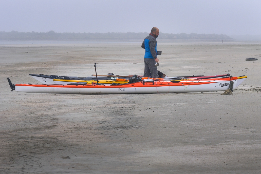
 Embarking on a memorable expedition, our team, comprised of Phil Doddridge, Greg Adams, and Matthew Eldred, set sail from Salt Creek around 11 am on Tuesday, January 2nd. The wind, as predicted, gained strength, facilitating a smooth 37 km paddle under sail to our initial campsite near Parnka Point, surrounded by mud. Notably, the Coorong’s water level was unexpectedly low. It was hovering around a meter below its optimal height. A recurring theme throughout the journey.
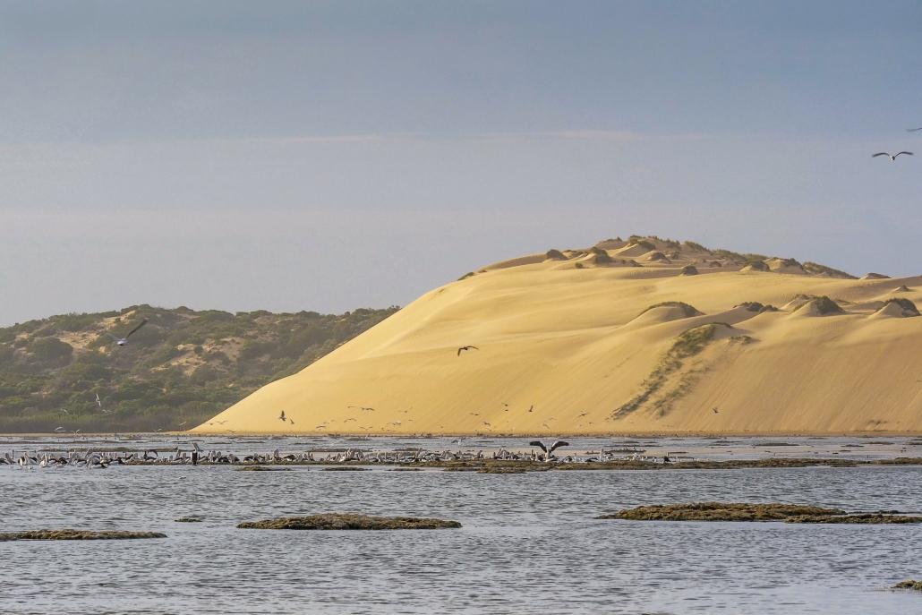
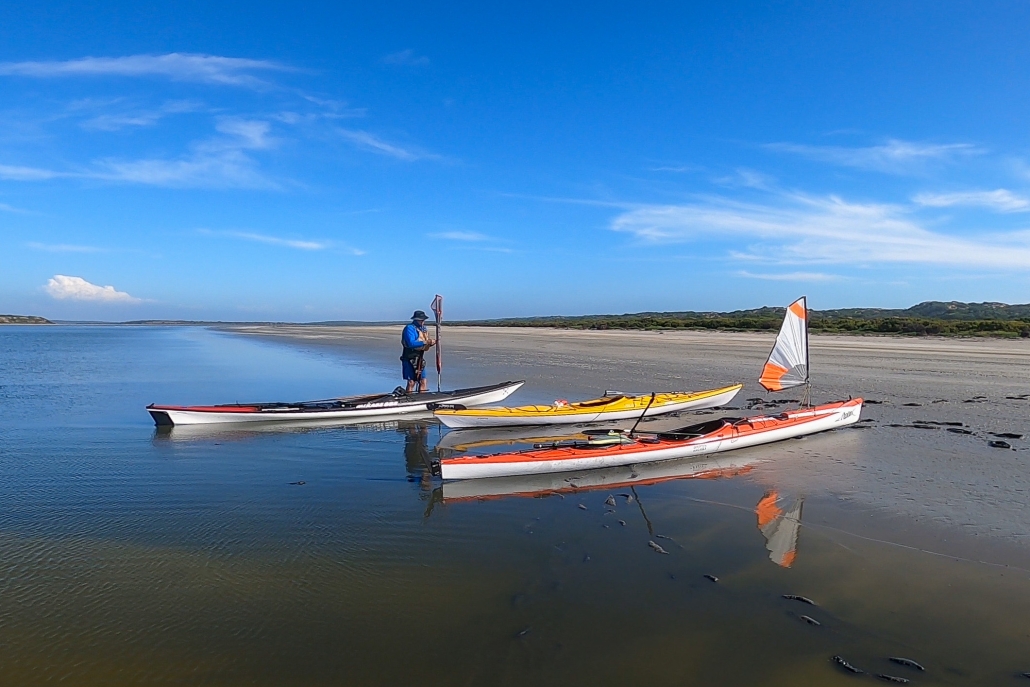
 Day 3 greeted us with lifted fog and a return of southeast winds at 10-15 knots. Despite persistent low water levels and expansive sand flats, the familiar sights of the Coorong’s freshwater soaks, rolling sand dunes, and aqua-colored waters made it a classic experience. A change of plans at Tauwitchere barrage lock. The low water and high winds made crossing into lake Alexandrina not appealing.

